





The Problem on the Ground
For over a century, the primary tool for measuring rain has been the humble rain gauge—a bucket, essentially, that collects and measures precipitation in a specific spot. These ground stations are the gold standard for accuracy at their location. However,
their usefulness depends on a dense network. In a country as vast and geographically diverse as India, this presents a significant challenge. Maintaining a sufficient number of gauges is difficult and expensive, especially in remote, mountainous, or sparsely populated areas. The reality is that rainfall can be highly variable; a downpour can flood one village while a neighbouring one remains dry. Relying on a thin network of gauges means we are often making educated guesses about the rainfall in the vast spaces between them, leading to significant gaps in our understanding.
An Eye in the Sky
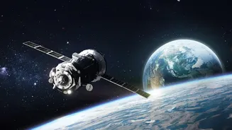
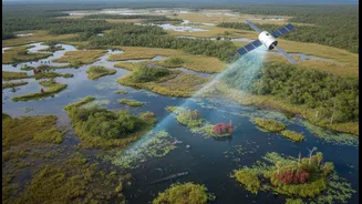
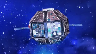
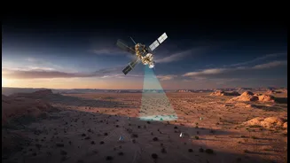
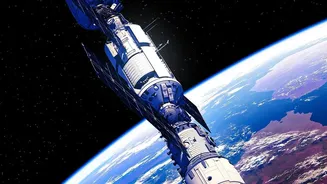
This is where space-based technology comes in. For decades, international and Indian satellites have been observing Earth's weather. Missions like the joint NASA-JAXA Global Precipitation Measurement (GPM) and ISRO's own INSAT series (including INSAT-3D and 3DR) are designed to overcome the limitations of ground networks. These satellites don't use buckets; they carry sophisticated instruments like microwave imagers and radars. These tools measure energy reflected or emitted by rain and snow particles within clouds, essentially giving us a top-down view of a storm. Unlike a single gauge, a satellite can estimate precipitation over immense areas, covering oceans and remote landmasses with each pass. This provides a comprehensive, near-global picture of where, when, and how much it is raining or snowing.
From Data to Life-Saving Decisions
This broader perspective is not just an academic exercise; it has profound real-world applications for India. For a country where the monsoon governs agriculture and the economy, this data is invaluable. Satellite estimates help improve weather models, leading to more accurate monsoon forecasts. For disaster management, the impact is even more direct. In landslide-prone regions like the Himalayas or the Western Ghats, satellite rainfall data has been shown to outperform ground-based observations for early warning systems. It enables authorities to monitor vast, inaccessible areas and issue timely alerts. Similarly, for flood forecasting in major river basins, satellite data provides a crucial overview of widespread rainfall that could lead to dangerous river levels downstream, allowing for better preparedness.
A Powerful Partnership, Not a Replacement
Despite their power, satellites are not perfect. Their measurements are indirect estimates, unlike the direct collection by a rain gauge. Atmospheric conditions can sometimes affect accuracy. Therefore, the most powerful approach is not to replace ground gauges but to combine the strengths of both systems. Ground gauges provide highly accurate, 'ground-truth' data at specific points. This data is then used to calibrate and validate the broad-coverage estimates from satellites, making the entire system more reliable. The India Meteorological Department (IMD) already creates merged satellite-gauge datasets for this very reason. This integrated approach gives forecasters and water resource managers the best of both worlds: the precision of ground measurements and the sweeping coverage of a satellite's view.