





A New Eye Watching Over Earth
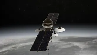
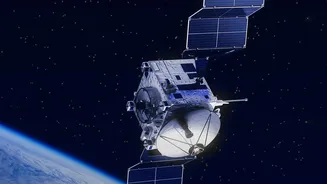
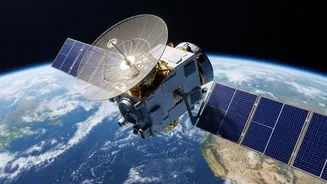
The NISAR satellite, which stands for NASA-ISRO Synthetic Aperture Radar, is one of the most advanced Earth-imaging spacecraft ever launched. A joint project between India's ISRO and the United States' NASA, this satellite is a testament to international
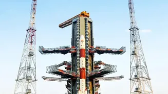
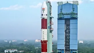
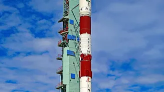
collaboration in space. ISRO provided the spacecraft bus, the S-band radar system, and the powerful GSLV launch vehicle that sent NISAR into orbit, while NASA contributed the L-band radar and other critical data subsystems. Launched in July 2025, NISAR orbits the Earth every 12 days, systematically mapping our planet's land and ice surfaces with unprecedented detail.
Radar That Sees Through Clouds and Darkness
Unlike typical satellites that use optical cameras, NISAR uses a sophisticated technology called Synthetic Aperture Radar (SAR). Think of it like a celestial ultrasound. This allows it to see the Earth’s surface day or night, regardless of weather conditions like clouds, rain, or dust. What makes NISAR truly unique is that it is the first satellite mission to use two different radar frequencies, known as L-band and S-band. This dual-frequency capability allows it to penetrate canopies of vegetation and monitor everything from the flow of glaciers to the moisture in our soil with centimetre-level precision.
A Daily Deluge of High-Resolution Data
The core of the NISAR mission's value is not just the quality of the data, but the speed and consistency of its release. ISRO has begun releasing the S-band radar data daily through its Bhoonidhi data portal. Starting from early July 2026, all S-band data acquired over India and other global locations is being systematically processed and made available for public download, often within hours for emergency situations. This steady stream of information is a game-changer for scientists, researchers, and policymakers, who no longer have to wait weeks or months for critical environmental data.
Transforming Life on the Ground in India
So, what does this all mean for India? The applications are vast and transformative. In agriculture, NISAR data is being used to generate 100-metre resolution soil moisture maps, which are crucial for irrigation planning, crop health monitoring, and drought risk assessment. For disaster management, the satellite’s ability to detect subtle surface changes is invaluable for monitoring landslides in the Himalayas, tracking floods in river basins like the Brahmaputra, and assessing seismic activity. The data also helps in studying coastal erosion, managing urban development, and monitoring the health of our forests and glaciers, providing vital information for resource management and climate change mitigation.
India's Leadership in Earth Observation
The NISAR mission and its open data policy solidify ISRO's position as a global leader in Earth observation. By providing free and open access to this crucial data, ISRO and NASA are empowering a worldwide community of scientists to better understand our planet's complex processes. The mission is already yielding incredible insights, from mapping the rapid sinking of parts of Mexico City to tracking ice floes in Antarctica. For India, NISAR is more than just a satellite; it is a powerful tool for national development and a symbol of the country's scientific prowess, contributing critical knowledge to tackle some of the most pressing environmental challenges of our time.