





The Fingerprints of Climate Change
A new rapid-attribution study by the World Weather Attribution initiative has concluded that human-caused climate change was a likely and significant contributing factor to the disaster. While not the sole cause, scientists found the “fingerprints of
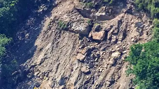
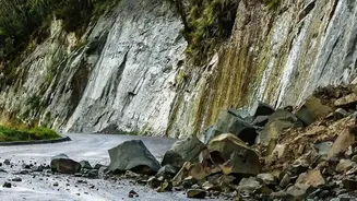
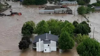
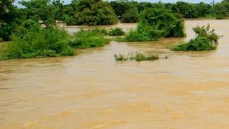
climate change are still clear to see” in the long-term changes that preconditioned the mountain slope for collapse. The disaster, which began on August 26, 2026, was not a typical flood caused by heavy rain. Instead, a massive section of rock and glacier ice, measuring around two square kilometers, broke away from Langtang Lirung mountain. The resulting avalanche of rock, ice, and sediment tore through the valley at speeds over 170 km/h, creating a devastating debris flood that swept away communities and infrastructure, killing over 1,300 people and leaving thousands more missing.
How Warming Destabilised a Mountain
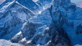
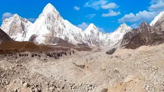
The study details a cascading series of events made worse by decades of atmospheric heating. Researchers identified several key mechanisms. Firstly, long-term warming is causing glaciers in the Himalayas to thin and retreat rapidly. The glacier that collapsed had retreated over 300 meters since 2010, removing a critical buttress that helped support the rock face. Secondly, rising temperatures are thawing high-altitude permafrost—the frozen ground that acts like cement, binding fractured rock together. The study estimates that the freezing line has been rising by about 100 meters per decade, weakening the structural integrity of the mountain slopes. Finally, warmer air means more precipitation falls as rain instead of snow at higher elevations. This water, along with enhanced meltwater from unusually warm local temperatures in July and August 2026, can seep into rock fractures, increasing pressure and acting as a lubricant for a potential collapse.
A Compound Crisis
Scientists were careful to note that climate change did not act alone. The region's geology and seismic history also played a part. The powerful 7.8 magnitude earthquake that struck Nepal in 2015 may have weakened the rock years before the collapse, creating vulnerabilities. Researchers described the disaster as a “compound crisis” and a “cascading catastrophe,” where multiple factors aligned. This complexity makes such events incredibly difficult to predict. Unlike a rainfall-driven flood that may offer hours or days of warning, this type of high-mountain slope failure can occur with terrifying speed, overwhelming any existing early-warning systems and demonstrating that communities are already facing the limits of adaptation.
A Wake-Up Call for the Entire Himalayan Region
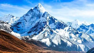
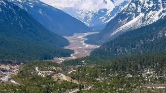
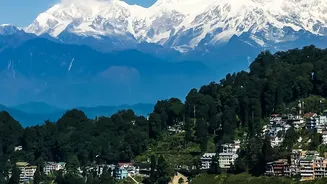
The findings serve as a stark warning far beyond Nepal's borders. The processes of glacier retreat, permafrost thaw, and slope destabilisation are occurring across the entire Himalayan range, a region often called the “Third Pole” for its vast ice reserves. These mountains are the source of major river systems that hundreds of millions of people in India, Pakistan, Bangladesh, and China depend on. The study highlights that preparedness in the Himalayas can no longer focus solely on conventional rainfall and flood forecasting. It demands an integrated approach that monitors the health of glaciers, permafrost, and mountain slopes. For countries like Nepal, which contributes less than 0.1% of global greenhouse gas emissions, the disaster is a profound injustice. The nation faces the brutal consequences of a crisis it did little to create.