







More Than Just a Picture
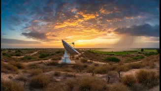
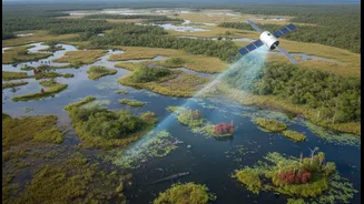
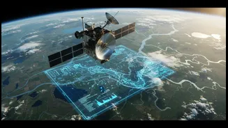
When we think of satellites, we often picture a simple photograph from space. But for water management, the data is far richer. Satellites from agencies like the Indian Space Research Organisation (ISRO) are equipped with advanced sensors that capture
information invisible to the naked eye. They use different wavelengths of light to measure crucial parameters like soil moisture, the health of vegetation, and even subtle changes in the Earth's gravity that can indicate shifts in groundwater storage. This multispectral information allows scientists and policymakers to move from static mapping to dynamic monitoring. Instead of just knowing where a river is, they can assess its flow, quality, and health over time.
From Orbit to Actionable Insights
The journey from raw satellite data to a usable tool for a farmer or a city planner is a complex but powerful process. Satellites like ISRO's Cartosat and Resourcesat series constantly gather data, which is then processed and integrated into platforms like the India Water Resources Information System (WRIS). By combining this space-based data with on-the-ground measurements and advanced computer models, experts can create detailed forecasts and assessments. For example, by analysing historical satellite imagery, models can predict the impact of a weak monsoon on crop yields or identify areas at high risk of drought. Recently, ISRO and the Ministry of Jal Shakti signed an agreement to further strengthen this collaboration, focusing on everything from groundwater assessment to flood forecasting.
A Lifeline for Indian Agriculture
For India's farmers, who rely heavily on predictable water sources, this technology is a game-changer. Precision agriculture, powered by satellite data, helps optimise the use of water, fertilisers, and pesticides. Programs like ISRO's Krishi-DSS provide farmers with advisories based on satellite-derived information about soil health and crop conditions. This allows for targeted irrigation, ensuring that water is sent only where it's needed, conserving a precious resource. Furthermore, by monitoring vegetation indices, authorities can detect early signs of water stress across large agricultural belts, enabling timely interventions to prevent widespread crop failure. This not only boosts yields and income but also enhances climate resilience in the face of increasingly unpredictable weather patterns.
The Power of the Long View
The most profound impact of satellite data comes from its ability to provide a long-term perspective. Decades of archived imagery create an invaluable historical record of our planet's water systems. By analysing this data, researchers can track the depletion of aquifers, monitor the retreat of glaciers that feed our rivers, and understand the long-term effects of climate change and land use on the water cycle. For instance, a study of the Bundelkhand region using 38 years of satellite precipitation data helped identify trends in drought severity, information crucial for future planning. This historical context allows for the creation of predictive models that don't just react to current conditions but forecast future challenges, informing sustainable policies for generations to come.
Beyond the Farm and River
The applications extend far beyond agriculture. In urban areas, satellite data combined with Geographic Information Systems (GIS) helps manage water supply networks more efficiently. For instance, cities can use this technology to detect leaks in underground pipelines or identify suitable locations for rainwater harvesting structures to recharge groundwater. Startups are even using satellite-based radar analytics to pinpoint water sources up to 60 meters underground with high accuracy. This combination of macro-level monitoring and micro-level application is helping to build water resilience across both rural and urban landscapes, from planning major canal projects in Gujarat to managing borewells in Bengaluru.