




The Navigation Challenge on the Moon
Navigating on Earth is something we take for granted. With a smartphone, you can pinpoint your location anywhere thanks to the Global Positioning System (GPS). The Moon, however, has no such system. During the Apollo missions, astronauts faced significant
navigational challenges. Without an atmosphere to create perspective, judging distances to landmarks like craters was incredibly difficult, sometimes causing crews to miss their scientific targets. For short missions, this was a manageable problem. But for NASA's goal of a sustained human presence, including bases and long-range rovers, a more robust solution is essential. Constant communication with Earth for guidance is not a scalable or efficient model for a bustling lunar environment.
LunaNet: An Internet and GPS for the Moon
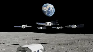
Enter LunaNet, NASA's answer to this critical infrastructure gap. It’s an architecture designed to provide services similar to the internet and GPS on Earth, but tailored for the unique lunar environment. The idea is to create a network of interconnected nodes, including satellites in lunar orbit and surface assets, that can communicate with each other and provide precise positioning data to users. This framework is being developed to be flexible and interoperable, allowing international partners like the European Space Agency (ESA), commercial companies, and academic institutions to contribute and use the network. The goal is to create a collaborative ecosystem that supports a wide array of missions, from robotic explorers to crewed landings under the Artemis program.
How a Lunar Network Works
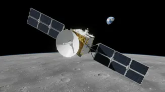
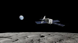
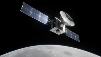
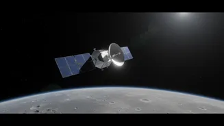
LunaNet isn't just one thing; it's a combination of technologies. The backbone will be a constellation of relay satellites orbiting the Moon. These satellites will provide communication links, especially for tricky locations like the lunar south pole or the far side of the Moon, where direct-to-Earth contact is impossible. For navigation, NASA is developing advanced receivers, like the recently delivered NavCube3-mini, a compact device that can use signals from Earth's existing GPS and Galileo satellites. This technology acts as a bridge, offering immediate navigation capabilities. The full LunaNet vision includes its own dedicated navigation signals, providing even greater precision and autonomy from Earth. It will also use Delay/Disruption Tolerant Networking (DTN), a system that stores data when a link is broken and forwards it once a connection is re-established, ensuring information isn't lost.
More Than Just a Map
The benefits of LunaNet extend far beyond simple positioning. The network will provide a suite of crucial services for lunar inhabitants. This includes enhanced situational awareness, with the ability to provide real-time alerts for hazards like solar weather events directly to astronauts, much like a weather alert on a smartphone. Another key feature is LunaSAR, a planned search and rescue capability that would use the network’s navigation services to pinpoint the location of an astronaut in distress. Furthermore, the constant stream of data from the network nodes will offer new scientific opportunities, allowing for comprehensive studies of the lunar environment over large areas and long periods.
Building a Connected Future
The development of LunaNet is a phased, collaborative effort. NASA is partnering with commercial companies like Intuitive Machines and CesiumAstro to build and operate parts of the network. For instance, Intuitive Machines' Altus-1 satellite, set to be the first in a commercial lunar relay network, will carry NASA's NavCube3-mini to demonstrate the feasibility of using GPS at the Moon. This approach, where NASA acts as an anchor customer for commercial services, is intended to foster a robust lunar economy. The first relay satellites are slated for launch in the coming years, with the goal of having a foundational network operational to support upcoming Artemis missions and lay the groundwork for a permanent, connected human presence on the Moon.