




A Summit in Constant Motion
The height of a mountain seems like it should be a fundamental, unchanging fact. However, for Mont Blanc, the measurement is a moving target. In September 2026, surveyors announced its latest official height was 4,807.47 metres. This was nearly two metres higher
than the measurement taken in 2023, which was 4,805.59 metres—a figure that itself was more than two metres lower than the one from 2021. This constant fluctuation is precisely why a team of French surveyors has been trekking to the summit every two to three years since 2001. As chief geometer Jean des Garets notes, the summit is 'constantly shifting'. The goal isn't just to get a new number, but to build a long-term data set for future generations of scientists to study the impacts of weather and climate.
It's Not the Rock, It's the Ice Cap
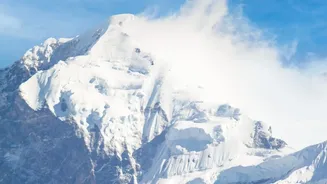
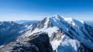
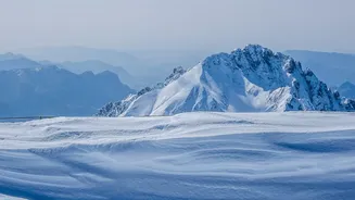
The secret to this 'growing' and 'shrinking' mountain lies in what sits on top. The rocky peak of Mont Blanc is stable at around 4,792 metres above sea level. But it's covered by a thick cap of 'eternal snow' and ice that can be 15 to 20 metres deep. It is the thickness of this snowy crown that changes, not the rock underneath. Weather conditions are the primary drivers of this change. The amount of snowfall during winter adds mass to the summit, while precipitation levels and temperatures throughout the year play a crucial role. In essence, the measured height is a snapshot of the summit's condition at that specific moment.
How Wind Sculpts the Summit
Precipitation isn't the only force at play; high-altitude winds are powerful sculptors of the summit. Strong winds can blow vast quantities of snow off the peak, effectively lowering its height. Conversely, wind patterns can also lead to accumulation. On Mont Blanc, prevailing westerly winds tend to push snow eastward, causing the snow peak to be located about 40 metres east of the actual rock summit. This redistribution of snow by wind means that both the height and the exact position of the highest point can shift. Surveyors have noted that the summit's position can move by up to five metres between measurements.
Measuring a Moving Target
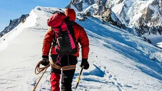
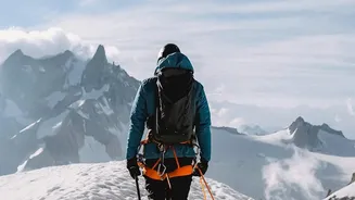
So, how do experts measure a summit that won't stay still? A team of about 20 people, including surveyors, guides, and scientists, makes the arduous climb. They carry nearly 30 kilograms of high-tech gear. For over two hours at the summit, they use ground-penetrating radar to probe the depth of the ice and locate the rock beneath. They also use a network of satellites—including GPS, GLONASS, Galileo, and others—to pinpoint the altitude of the snow's surface with centimetre-level precision. In recent years, drones have been added to the toolkit, capturing thousands of images to create a detailed 3D model of the summit's ice cap.
What About Climate Change?
It's natural to wonder if these fluctuations are a direct result of global warming, especially as glaciers across the Alps visibly retreat. However, scientists are cautious about drawing a direct line between any single measurement and long-term climate change. Glaciologists explain that the conditions at Mont Blanc's summit are so cold—often described as polar—that the ice rarely melts significantly. Therefore, short-term variations in height are more likely due to year-to-year differences in snowfall and wind. Researchers suggest that it would take about 50 years of continuous measurements to draw firm conclusions about climate change's impact at that specific altitude. For now, each survey adds another vital piece to a complex puzzle, helping us understand the subtle ways our planet responds to its ever-changing climate.