
A Fire That Makes Its Own Weather
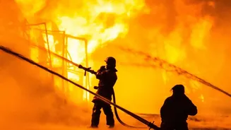
Massive wildfires tearing through southwestern France have scorched tens of thousands of hectares and forced hundreds of thousands to evacuate. But beyond the staggering scale, one fire near Bordeaux did something extraordinary by generating a pyrocumulonimbus
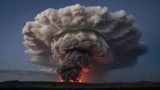
cloud, or pyroCb. Experts noted this was the first time such a phenomenon had been officially recorded in the country. Essentially, the fire grew so powerful that it stopped being merely influenced by the weather; it started creating its own. This isn't just a bigger smoke plume; it's a fundamental shift in the fire's behaviour, turning it into a self-sustaining weather engine.
What Exactly Is a Pyrocumulonimbus?
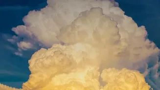
Imagine a wildfire so hot it acts like a giant chimney, funnelling smoke, ash, and moisture high into the atmosphere. A pyrocumulonimbus is what happens when that column of superheated air rises, cools, and condenses to form a massive, towering thunderstorm cloud. NASA calls it the "fire-breathing dragon of clouds" for good reason. Unlike a normal thunderstorm that draws energy from solar heating on the ground, a pyroCb is fuelled entirely by the immense energy of the fire below. These clouds can reach altitudes of 10 to 15 kilometres, punching into the stratosphere—a layer of the atmosphere where commercial jets fly.
A Dangerous Feedback Loop
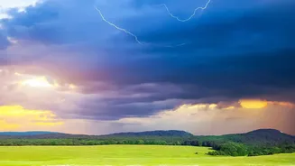
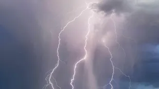
The formation of a pyroCb is a sign that a fire has become critically dangerous and unpredictable. These fire-driven storms create a hazardous feedback loop. They can generate their own lightning, which can strike miles away from the original blaze and ignite new fires. The clouds also produce violent and erratic winds, including powerful downdrafts that can suddenly change the fire's direction and speed, overwhelming firefighting efforts and endangering crews on the ground. In some cases, the updrafts are so strong they can transport burning embers over vast distances, showering them down and creating spot fires far from the main front.
A Barometer for Fire Intensity
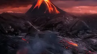
For scientists, a pyrocumulonimbus cloud is more than a weather anomaly; it's a clear indicator of a fire's extreme intensity. The energy release required to create one is immense, with some experts comparing it to that of a volcanic eruption or even an atomic bomb. The presence of a pyroCb confirms that a blaze has escalated into a "sixth-generation" fire—one that actively shapes its own atmospheric environment. This makes the event in France a crucial data point, showing that conditions in Europe are now capable of producing the same kind of extreme fire behaviour previously associated with the notorious fire seasons of Australia and North America.
A Glimpse into a Warmer Future
While climate change doesn't directly create fire clouds, it sets the stage for them. Increasingly frequent and intense heatwaves make landscapes drier and more combustible, leading to larger, more energetic wildfires. These are precisely the conditions needed for a pyroCb to form. The smoke injected into the stratosphere by these clouds can also have its own climatic effects, as particles like black carbon can linger for months, absorbing heat and impacting the atmosphere on a hemispheric scale. The rare cloud over France is therefore a powerful warning shot. What was once a meteorological curiosity is becoming a more frequent and dangerous feature of our warming world, signalling a new and more volatile era of wildfires.