





What Is Actually Happening Up There?
The headline finding comes from a recent atmospheric science study which found that moisture-laden air is lingering in the atmosphere for significantly longer before releasing its contents as rain. This 'rain-bearing air' primarily refers to convective
updrafts—strong columns of warm, moist air that rise to form clouds. Think of them as the engines of thunderstorms and heavy showers. In the past, these systems would rise, condense, and produce rain in a relatively predictable timeframe. Now, scientists have observed that this cycle is being extended, with clouds essentially holding their breath for several extra hours. This change, while seemingly small, points to a deeper and more complex alteration of our planet's weather engine, driven by a warmer, more energetic atmosphere.
The Science of a Supercharged Atmosphere
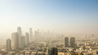
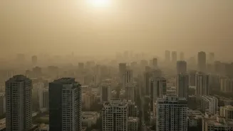
So, why are clouds holding onto their water for longer? The answer lies in a combination of global warming and air pollution. A warmer atmosphere can hold more moisture—about 7% more for every degree Celsius of warming, according to the fundamental Clausius-Clapeyron relationship. This means clouds can become more saturated before they reach their tipping point. At the same time, increased aerosols from pollution act as numerous tiny 'seeds' for cloud droplets to form around. This creates clouds with a higher number of smaller droplets. These smaller droplets are lighter and more easily held aloft by the strong upward air currents (updrafts) within storm clouds. They take longer to coalesce into raindrops heavy enough to fall, effectively delaying the onset of rain. The result is a cloud that travels farther and holds its moisture for longer, building up potential for a more intense downpour when it finally lets go.
From the Sky to India's Streets
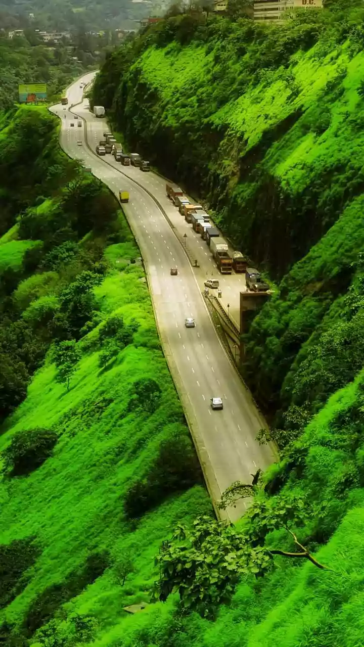
For India, a country whose fate is intrinsically linked to the monsoon, this atmospheric shift has profound and immediate consequences. A delay of a few hours in the sky can translate into significant geographical and temporal shifts on the ground. This phenomenon helps explain the increasing pattern of erratic rainfall: long dry spells punctuated by sudden, ferocious downpours. Cities like Mumbai, Bengaluru, and Chennai are already grappling with urban flooding, a problem exacerbated when drainage systems designed for steadier rain are overwhelmed by these intense, delayed bursts. The phenomenon of 'cloudbursts', once considered rare, may become more common as supercharged clouds unload their long-held water stores all at once. This new reality means the danger is no longer just about too much or too little rain, but about the very timing and intensity of its arrival.
A New Challenge for an Old System
The implications for India's agriculture are particularly stark. The kharif crop cycle is timed to the traditional arrival of the monsoon. When rain-bearing systems travel farther and release water later, it can disrupt sowing schedules, reduce soil moisture, and force farmers to rely more heavily on already stressed groundwater resources. A monsoon that is 'normal' in total volume can still lead to agricultural distress if the rain arrives in a few violent episodes rather than a steady, soil-soaking progression. This change also poses a threat to our infrastructure. Dams, reservoirs, and urban storm-water drains were all designed based on historical rainfall data. As these patterns shift to favour more extreme, concentrated events, the resilience of this critical infrastructure is being tested like never before.