


A New Eye in the Sky
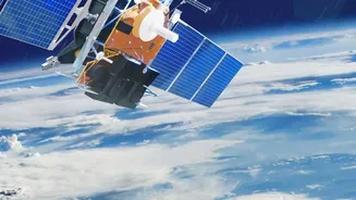
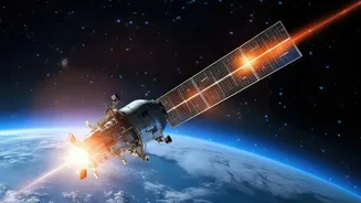
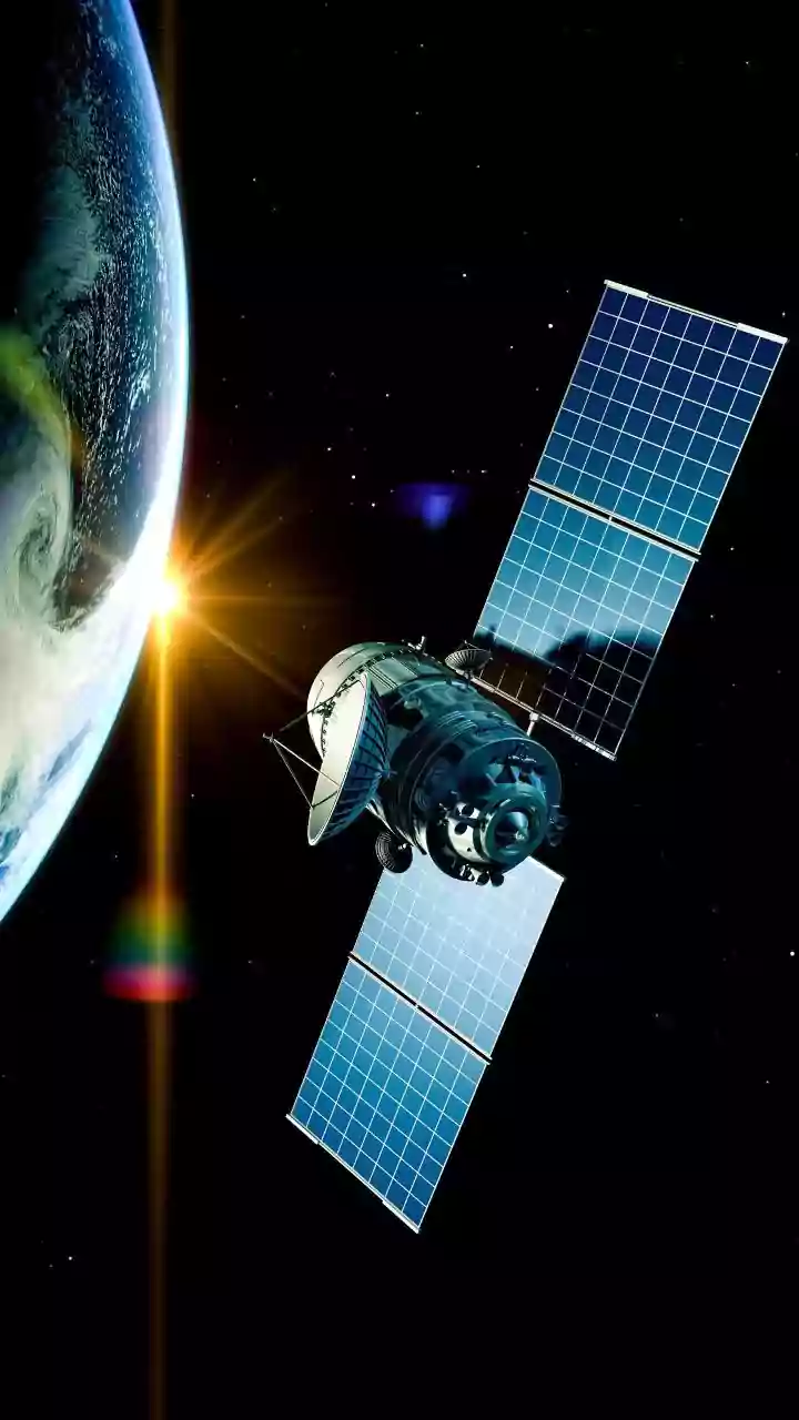
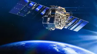
In July 2026, three new satellites were launched into orbit, marking a significant milestone for a project called FireSat. This isn't just another government weather satellite; it's the beginning of a purpose-built constellation designed with one singular
mission: to find and monitor wildfires anywhere on Earth with unprecedented speed and precision. The initiative is a global collaboration led by the nonprofit Earth Fire Alliance, with satellite manufacturer Muon Space building the hardware and Google providing crucial artificial intelligence capabilities and funding. This launch of the first operational satellites follows a successful prototype mission in 2025, which proved the system's potential by spotting small fires that existing systems completely missed. These new orbiters are the first step toward a planned fleet of over 50 satellites that will eventually form a constant, watchful eye over our planet.
Seeing What Others Miss
So, what makes FireSat different from the satellites we already have? The answer lies in its specificity and power. Current satellite systems used for fire monitoring are often multi-purpose, meaning their sensors aren't optimized for the unique heat signatures of a fledgling fire. They might only pass over the same spot a few times a day, and their resolution is often too low to spot anything smaller than a football field. FireSat is designed to overcome these limitations. Its custom-built infrared sensors can detect a heat source as small as 5x5 metres—roughly the size of a large car. When the full constellation is operational, it will be able to scan the entire globe with a revisit time of 20 minutes or less. This combination of high resolution and high frequency means it can catch fires when they are still tiny and vulnerable.
How Technology Buys Precious Time
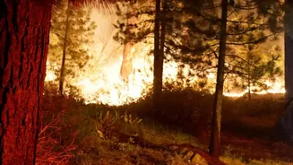
The true value of FireSat is measured in time. By detecting a fire moments after it ignites, the system sends an alert to ground crews almost immediately. This early warning is the first and most crucial advantage. But the benefits don't stop there. As a fire grows, FireSat’s infrared instruments can peer through the smoke to map the fire's perimeter, track its direction of spread, and even measure its intensity. This provides firefighters with a continuously updated, near real-time operational picture. They can see which parts of the fire are most active, predict where it will move next, and allocate resources more effectively and safely. This level of situational awareness is critical for planning evacuations and protecting the lives of both residents and the first responders on the front lines.
A Global Shield for Local Fires
While the initial partners, like the California Department of Forestry and Fire Protection (CAL FIRE), are based in the United States, the FireSat system is designed for global coverage. Wildfires are a universal threat, impacting communities from Australia to the Mediterranean, and increasingly, in India. States like Uttarakhand, Himachal Pradesh, Odisha, and others in the country face significant challenges with forest fires annually. These events threaten biodiversity, agriculture, and local livelihoods. A system like FireSat, capable of providing early warnings in remote, forested regions, could be transformative. While direct partnerships with Indian agencies have not been announced, the publicly available nature of some data from similar scientific satellite missions provides a hopeful model. The ability to detect a small ignition in a dense forest before it becomes an uncontrollable blaze could dramatically improve India's disaster response capabilities.