



A Sudden and Violent Mystery
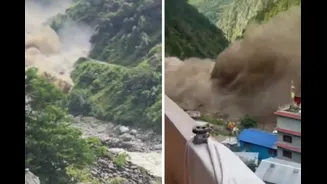
On the morning of August 26, 2026, communities along the Bhote Koshi and Trishuli rivers in Nepal experienced a sudden, terrifying surge of water. Reports from hydrological stations, before they were washed away, showed the Trishuli River rising by as much
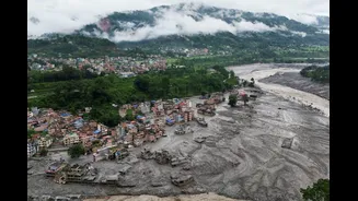
as nine metres in just 30 minutes, a testament to the flood's exceptional speed and power. The torrent of water, thick with mud, rock, and debris, swept away homes, roads, and bridges. Initial speculation pointed towards a powerful earthquake or a Glacial Lake Outburst Flood (GLOF), a common fear in the high Himalayas. However, the true cause was more complex and could not be seen from the ground, where rescue efforts were hampered by the sheer scale of the devastation.
The Unblinking Eye in the Sky
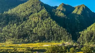
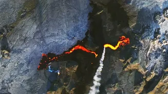
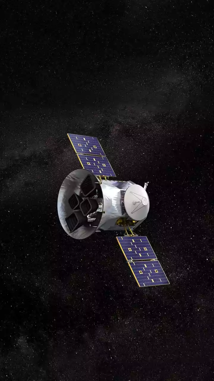
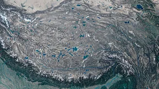
In the critical hours after the disaster, scientists and disaster response agencies turned to their most powerful investigative tool: satellite imagery. Organizations like the Indian Space Research Organisation (ISRO) and the International Centre for Integrated Mountain Development (ICIMOD) began analysing data from a host of Earth-orbiting satellites. The first clear clues came from comparing 'before' and 'after' optical images from providers like Planet Labs. Pictures from August 25 showed green, intact mountain valleys; images from August 26 revealed a landscape transformed, with vast stretches now buried under a dark brown scar of debris and sediment. The satellite photos provided the first visual confirmation of where the event began, high in the mountains near the Nepal-Tibet border.
Solving the Puzzle from Space
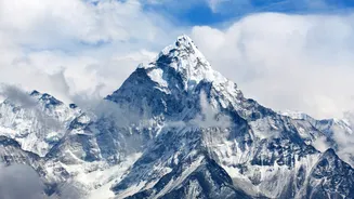
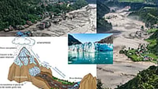
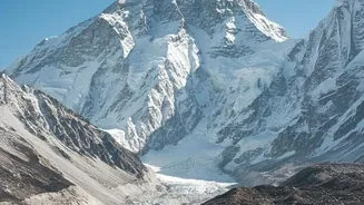
While optical images showed the aftermath, other forms of satellite data helped uncover the cause. On-the-ground investigation was impossible, and monsoon clouds often obscure the view. This is where Synthetic Aperture Radar (SAR) becomes indispensable. SAR satellites can effectively see through clouds and darkness, providing a clear picture of landscape changes. By analysing this data alongside high-resolution optical images, scientists pieced together the sequence of events. The US Geological Survey, after reviewing seismic and satellite data, concluded that an initial magnitude 5.2 seismic event was not a tectonic earthquake but the signal of the collapse itself. Experts confirmed that a massive portion of a glacier, along with the bedrock beneath it, had catastrophically failed and collapsed into the valley below, triggering a devastating ice-rock avalanche.
A Pattern of Complex Disasters
This method of post-disaster forensics is becoming increasingly vital. The 2021 Melamchi Valley flood in Nepal was another complex event that was initially misunderstood. It was not a simple GLOF, but a cascading disaster involving heavy monsoon rain, rapid snowmelt, and the remobilization of old landslide debris. A detailed analysis using a time series of high-resolution satellite imagery was required to understand this chain of events. These incidents show that Himalayan hazards, intensified by climate change, are often not single-trigger events but a complex interplay of factors. Satellites provide the only means to get a comprehensive overview and quantify the enormous volumes of sediment and water involved.
From Aftermath to Foresight
Understanding the precise cause of a flood is not just an academic exercise; it is critical for saving lives in the future. By identifying the source as an unstable mountain slope rather than a drained glacial lake, authorities can better assess the lingering risk. Is more rock and ice waiting to collapse? Is a landslide dam still blocking a river upstream, threatening a second flood? This is the kind of information that satellite analysis can provide. Based on these findings, organisations like ICIMOD are pushing for improved early warning systems and stronger regional cooperation to manage these cross-border threats. The ability to rapidly diagnose the cause of a disaster directly informs mitigation strategies and helps protect vulnerable downstream communities.