





A Scientific Warning from the Rooftop of the World
Scientists have identified 219 hanging glaciers in the Alaknanda river basin, a critical headstream of the Ganga in Uttarakhand. A study published in a Nature journal highlights that these precarious ice masses, clinging to steep mountain slopes, are
becoming increasingly unstable due to rapid warming in the Himalayas. Researchers from institutions like the Indian Institute of Science (IISc) and IIT Bhubaneswar have warned that the region's exposure to avalanche-related hazards is set to grow significantly. Their projections indicate that by 2030, the amount of land occupied by buildings and infrastructure at risk could be 120% higher than it was in 2000. This development places downstream communities, vital infrastructure, and major pilgrimage routes in an increasingly vulnerable position.
What Are Hanging Glaciers?
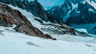
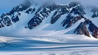
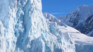
Unlike valley glaciers that flow downwards, a hanging glacier is an ice mass perched on a steep slope, often ending abruptly over a cliff. As parent glaciers retreat and shrink due to climate change, these smaller sections can become detached and stranded on mountainsides. Their position makes them inherently unstable; they maintain balance by shedding ice and snow. However, factors like rising temperatures, erratic snowfall, and seismic activity can trigger a sudden collapse. When a hanging glacier breaks off, it can unleash a devastating ice-rock avalanche, a chaotic mixture of ice, rock, and debris that gains speed and volume as it thunders down a valley, capable of triggering secondary disasters like flash floods.
The High-Stakes Alaknanda Basin
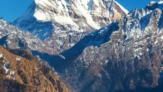
The Alaknanda basin is not just a remote mountain wilderness; it is a lifeline for millions and a region of immense cultural and strategic importance. The basin is home to the revered Badrinath shrine, one of the Char Dham pilgrimage sites, attracting hundreds of thousands of visitors annually. A significant concentration of the identified unstable glaciers—nearly 30%—is located in the Upper Alaknanda basin, near Badrinath and the border village of Mana. The region also hosts numerous towns, crucial road networks, and several hydropower projects that are integral to North India's energy grid. The combination of a fragile geological landscape and rapidly expanding human presence makes the area a critical hotspot for potential hazards.
Echoes of the 2021 Chamoli Disaster
The threat from hanging glaciers is not theoretical. In February 2021, a catastrophic event in Uttarakhand’s Chamoli district provided a harrowing preview of the potential consequences. A massive wedge of rock carrying a hanging glacier broke off a peak, triggering a debris flow that tore through the Rishiganga and Dhauliganga river valleys. The flash flood destroyed two hydropower plants and resulted in the deaths or disappearance of over 200 people. Post-disaster analysis confirmed that the event was not a glacial lake outburst, as initially suspected, but a rock and ice avalanche originating from a hanging glacier. This tragedy serves as a stark reminder of how quickly these events can unfold and the scale of destruction they can cause.
The Future: Monitoring and Mitigation
The 2030 projection is not a deadline but an evidence-based forecast of increasing risk if current trends continue. The study's simulations are alarming, suggesting that avalanche flows in the Badrinath-Mana sector could reach heights of over 50 metres, enough to overwhelm settlements. The population living in these exposed areas is projected to rise from around 380 in 2000 to over 8,500 by 2030 due to development. Experts stress the urgent need for a paradigm shift from reactive rescue efforts to proactive risk management. This includes systematic identification and continuous monitoring of high-risk glaciers, developing robust early-warning systems, and incorporating detailed hazard assessments into all land-use and infrastructure planning in the Himalayas.