


The Golden Hour of Wildfire Fighting
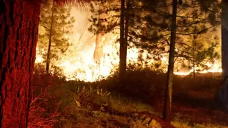
For firefighters, the first few minutes of a blaze are the most critical. A small, manageable fire can explode into an uncontrollable inferno with frightening speed, driven by wind and dry conditions. The challenge has always been detection speed. Traditional
methods, like public reports or smoke-spotting from watchtowers and patrol planes, can have significant delays, especially in remote, rugged terrain. By the time smoke is visible from a distance, a fire may have already established a dangerous foothold. This time lag is where the battle is often lost before it even begins. Catching a fire when it is small is the key to minimizing damage, saving lives, and protecting ecosystems. This urgent need for faster, more reliable detection is the driving force behind a new wave of space-based technology.
An Eye in the Sky Called FireSat
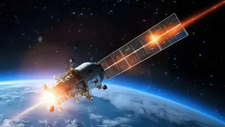
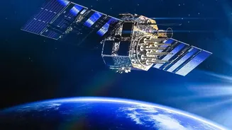
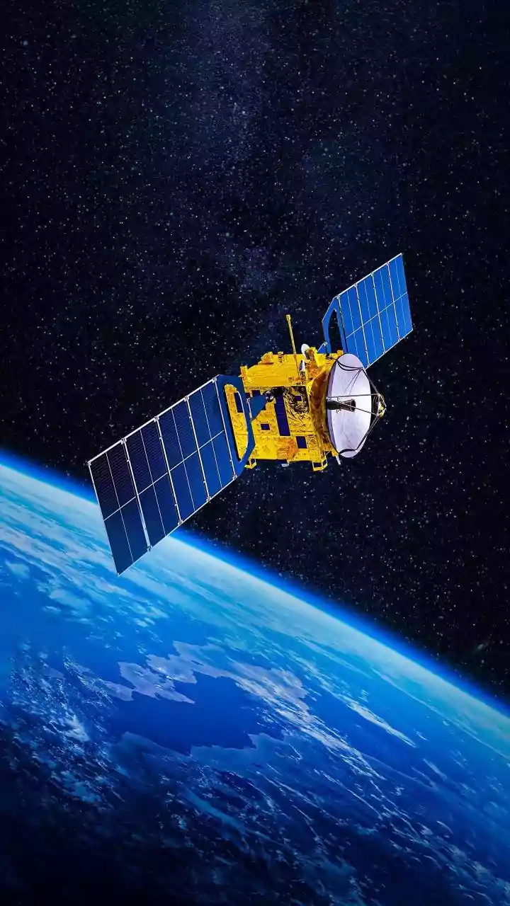
Enter FireSat, a satellite constellation designed specifically to hunt for wildfires. This isn't a single satellite but a planned network of more than 50, built by the space systems company Muon Space on behalf of the nonprofit Earth Fire Alliance. The project has attracted significant collaboration, including from Google Research and funding from the Bezos Earth Fund. The first prototype satellite launched in March 2025, with the first three operational satellites following in the summer of 2026. The ultimate goal is ambitious: to have a full constellation operational by 2030, capable of scanning the entire planet every 20 minutes to detect fires as small as 5x5 meters. This represents a monumental leap from older satellite systems, which might only pass over a location a few times a day and could only spot much larger fires.
How Infrared 'Sees' Through Smoke
The magic behind FireSat lies in its advanced infrared sensors. Unlike a regular camera that sees visible light, these sensors detect thermal energy, or heat. This is a crucial distinction because it means the satellites are looking for the heat signature of a fire, not the smoke plume. Smoke can obscure a fire from visual detection, but it cannot hide the intense heat. The satellites are equipped with multispectral infrared imagers that operate across several wavelengths, allowing them to detect both hot, flaming fires and cooler, smoldering ones that might otherwise go unnoticed. This allows FireSat to 'see' through smoke and even detect fires at night, providing a 24/7 watch.
From Detection to Dispatch
Finding a hotspot is only half the battle; the information needs to get to first responders instantly. This is where artificial intelligence comes in. Onboard and ground-based AI systems analyze the infrared data in near real-time. The AI compares a new heat signature against thousands of previous images of the same spot, factoring in weather data and ruling out false positives like hot rooftops or industrial flare stacks. Once a fire is confirmed, an alert with its precise location and intensity is generated and sent to firefighting agencies on the ground. The entire process, from detection in orbit to an actionable alert, is designed to take just minutes, shrinking the response window from hours to a timeframe that gives firefighters a crucial head start. Other companies like the German-based OroraTech are also deploying similar constellations, promising alerts within three minutes.
Challenges and the Road Ahead
While the technology is transformative, it is not a silver bullet. The cost of designing, building, and launching dozens of high-tech satellites is immense. Furthermore, processing vast amounts of data from a global constellation requires robust AI and powerful ground infrastructure. While FireSat is a leading initiative, it's part of a broader trend of private companies and startups like OroraTech and Orbital Sentry entering the field of climate-related space intelligence. This creates a competitive and innovative landscape, but also highlights the need for collaboration and data-sharing standards to ensure the information is accessible to all who need it, from large government agencies to local fire departments. Researchers are also exploring making these satellites more autonomous, allowing them to reposition themselves to better track a developing fire.