







India's Eyes in the Sky
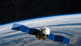
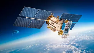
On September 4, 2026, the Indian Space Research Organisation (ISRO) successfully launched the EOS-05 satellite, marking a significant milestone. Unlike many of its predecessors that circle the globe in Low Earth Orbit, EOS-05 is a geostationary satellite.
Positioned approximately 36,000 kilometres above the Earth, it remains fixed over the Indian subcontinent, providing near-continuous surveillance. This capability represents a strategic leap, allowing for constant monitoring rather than periodic passes. These satellites are more than just cameras; they are equipped with advanced sensors, including multi-spectral and hyper-spectral imagers, that collect a vast array of data beyond what the human eye can see, under various weather conditions.
A Guardian for Agriculture and Resources
One of the most vital applications of India's Earth Observation program is in agriculture, the backbone of the nation's economy. Satellites like those in the Resourcesat and RISAT series provide invaluable data on crop health, soil moisture, and pest infestations. For instance, the Radar Imaging Satellite (RISAT) series, which includes EOS-04, can penetrate cloud cover, providing reliable imagery regardless of weather. This allows for accurate forecasting of crop yields, helps in managing water resources efficiently, and supports the Pradhan Mantri Fasal Bima Yojana by providing timely and accurate data for crop insurance claims. This space-age technology directly contributes to food security and empowers farmers with the information they need to protect their livelihoods.
A First Responder in Times of Disaster
When natural disasters strike, every second counts. ISRO's satellites are frontline tools in disaster management. The new EOS-05 is specifically designed to monitor natural disasters like cyclones, floods, and forest fires in near real-time. Satellites in the Oceansat series, such as EOS-06, monitor sea surface temperatures and wind patterns, which are crucial for accurately predicting the formation and path of cyclones. During floods, satellite imagery helps identify the extent of inundation, allowing disaster response teams to locate affected areas and plan rescue operations more effectively. This ability to monitor, predict, and respond has saved countless lives and has become an indispensable part of India's national disaster management framework.
Enhancing National and Maritime Security
Beyond civilian applications, Earth Observation satellites are a force multiplier for national security. The ability to provide high-resolution imagery and all-weather surveillance is critical for monitoring India's extensive land borders and vast maritime territory. The constant watch provided by geostationary satellites like EOS-05 adds a new dimension to this capability, enabling persistent monitoring of strategic locations. This enhances situational awareness, helps in tracking suspicious movements, and plays a crucial role in securing the nation's strategic interests. These 'eyes in the sky' act as silent sentinels, providing critical intelligence to safeguard the country from external threats.
Driving Urban Planning and Development
As India continues to urbanise at a rapid pace, managing the growth of cities is a monumental challenge. Earth Observation satellites provide essential data for urban planners and policymakers. High-resolution images from the Cartosat series, for example, are used to create detailed maps for urban planning, monitor land use changes, and track the progress of infrastructure projects. This data helps in designing better transportation networks, managing urban sprawl, and ensuring that development is sustainable. By providing a comprehensive, data-driven view of our evolving cities, these satellites are helping to build the smart, resilient urban centres of the future.