





A New Star in India's Navigation Constellation
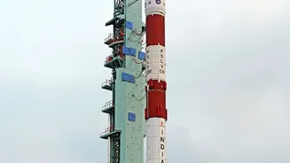
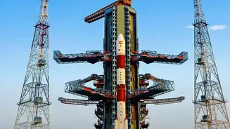
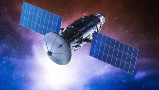
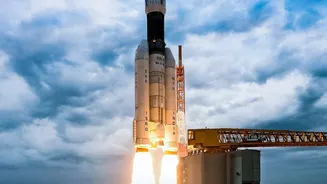
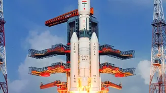
The Indian Space Research Organisation (ISRO) is continuing the critical task of overhauling its satellite navigation capabilities with the launch of NVS-03. This satellite, delivered to orbit by the powerful Geosynchronous Satellite Launch Vehicle (GSLV),
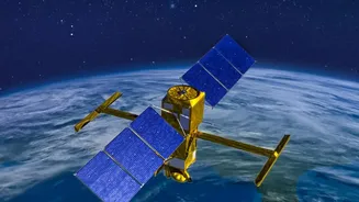
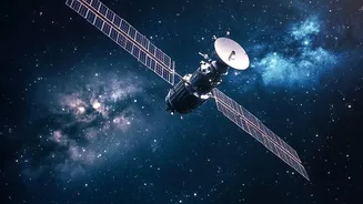
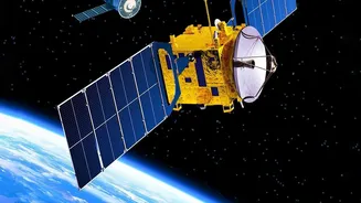
is the latest addition to the second generation of satellites for the Navigation with Indian Constellation (NavIC) system. Weighing over 2,200 kg, these new satellites are designed to replace the original, ageing fleet and bring significant upgrades to India's answer to the American GPS system. The NVS series is planned to include at least five satellites, tasked with reviving and augmenting the NavIC network to ensure a continuous and reliable service for the nation. This mission is not just a routine replacement; it's a vital move to fix past issues and build a more robust system for the future.
NavIC: India’s Answer to GPS
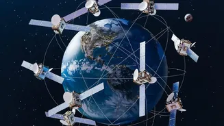
NavIC is India's independent regional navigation satellite system, designed to provide accurate positioning, navigation, and timing (PNT) services. It was developed to ensure India’s self-reliance, a need that was acutely felt during the 1999 Kargil conflict when access to foreign-owned GPS data was not guaranteed. The system offers two main services: a Standard Positioning Service (SPS) for all civilian users and an encrypted Restricted Service (RS) for strategic and military use. NavIC’s primary coverage area includes the Indian mainland and a region extending about 1,500 kilometres beyond its borders, making it a crucial asset for national security, disaster management, transportation, and numerous commercial applications. For the system to function correctly, a minimum of four satellites must be operational to provide a precise location fix.
The Trouble with the Old Guard
India's first generation of navigation satellites, known as the IRNSS series, began launching in 2013. However, the constellation was soon plagued by a critical issue: the failure of its imported rubidium atomic clocks. These clocks are the heart of any navigation satellite, providing the ultra-precise time measurements needed to calculate a user's location. Multiple satellites in the original fleet experienced clock failures well before their 10-year design life ended. By early 2026, the number of fully functional satellites had dropped below the minimum required for navigation services, rendering the system operationally distressed. This degradation, combined with launch setbacks for replacement satellites, created an urgent need for a new and more reliable generation of hardware to restore the constellation.
Next-Generation Navigation Is Here
The NVS-03 satellite, like its predecessors in the second-generation series, brings three game-changing upgrades. First and most crucial is the inclusion of an indigenously developed rubidium atomic clock. Created by ISRO's Space Applications Centre, this domestic technology is designed to be more reliable than the faulty imported clocks, marking a major leap in self-reliance. Second, the NVS satellites have a longer mission life of 12 years, providing more durability. Third, and perhaps most significant for public use, is the addition of the L1 frequency band. This band is widely used by civilian GPS systems globally, including in smartphones, wearables, and other low-power devices. Its inclusion makes NavIC interoperable with other global systems and dramatically expands its accessibility for commercial and personal use.
From Maps to Military: The Real-World Impact
The successful deployment of NVS-03 is a major step toward restoring NavIC to full strength. A fully functional indigenous navigation system strengthens India's strategic autonomy, ensuring that its military and security forces have access to reliable and unhindered navigation data, especially during times of conflict. For civilians, the benefits are just as profound. The integration of the L1 band means that future smartphones and devices in India can seamlessly use NavIC, offering potentially greater accuracy in dense urban areas and remote regions compared to using GPS alone. This enhances services across various sectors, including transportation logistics, agriculture, fishing, and disaster response, where precise location information is critical. By rebuilding NavIC with superior, homegrown technology, India is not just fixing a problem but is also paving the way for a new era of innovation in location-based services.