

A Summit in Flux
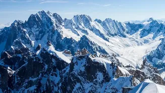
On October 14, 2026, a team of French surveyors announced the new official height of Mont Blanc, Western Europe's highest peak. It now stands at 4,807.47 metres. This is nearly two metres taller than the measurement taken in 2023, which was 4,805.59 metres. This might
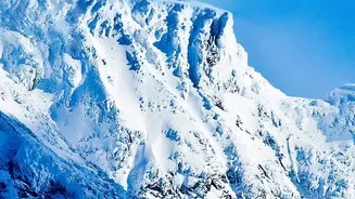
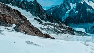
sound like the mountain itself is growing, but the reality is more intricate. The rock summit of Mont Blanc is stable, sitting at around 4,792 metres. The variation comes from the thick cap of ice and snow that covers it. This frosty crown is in a constant state of change, its thickness dictated by wind, precipitation, and temperature. So, while the mountain's rock foundation is fixed, its white peak is a dynamic, shifting entity.
The Science of Measurement
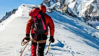
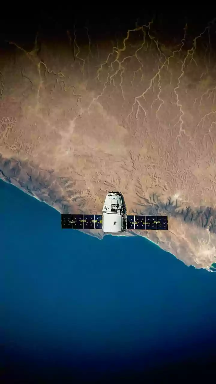
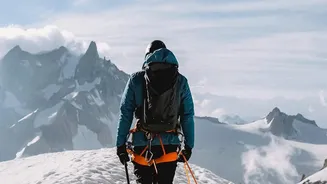
So how do you measure a 'moving' target with centimetre-level precision? Gone are the days of relying solely on trigonometry from a distance. Today, surveyors climb to the very top armed with high-precision Global Navigation Satellite System (GNSS) receivers. For several hours, these devices communicate with satellites to triangulate their exact position on the globe. This gives them a height reading, but it's not as simple as reading a number off a screen. GPS calculates height relative to a smooth mathematical model of the Earth, not the actual 'sea level'. To get the final altitude, scientists must correct this data using a complex model called a geoid, which represents the planet's uneven gravitational field. This biennial exercise is as much a test of cutting-edge technology as it is about tracking the mountain's height.
Why Snow Is So Tricky
Measuring a solid rock peak is one thing; measuring a summit buried under a thick, perennial blanket of snow and ice is another challenge entirely. The main issue is that the highest point isn't fixed. Strong alpine winds can blow snow from one side of the summit to another, effectively moving the peak. The amount of snowfall in winter and the degree of melting in summer also cause significant year-to-year fluctuations. The 2026 measurement, for example, showed a gain in height, reversing a shrinking trend seen in previous years. This doesn't mean the glacier is necessarily healthier; it could simply be the result of specific weather patterns leading to more snow accumulation at the very top. This is why surveyors are cautious, stating that one-off measurements are less important than the long-term trend.
A Barometer for Climate
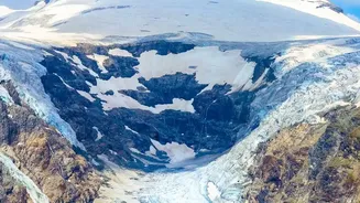
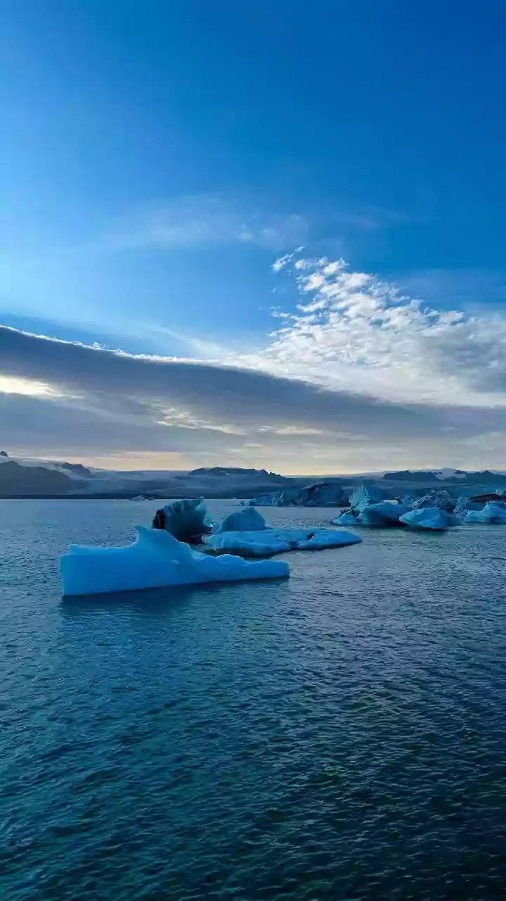
While experts warn against drawing direct climate conclusions from a single year's measurement, the long-term data collected since 2001 provides invaluable insight into how the Alps are responding to a warming planet. The height of the snow cap is a sensitive indicator. While this year showed a gain, the general trend over the last two decades has been a slight decrease from highs recorded around 2007. To better understand the changes, teams are now using ground-penetrating radar to map not just the snow surface but also the ice cap's total volume and the rock summit beneath it. This helps distinguish between superficial changes in snow cover and the more worrying long-term melting of the underlying glacial ice, a phenomenon visible across the Alps.
A Challenge Mirrored in the Himalayas
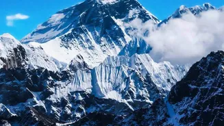
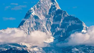
The difficulties of measuring Mont Blanc are not unique. This scientific puzzle is mirrored in mountain ranges across the world, including our very own Himalayas. Peaks like Mount Everest also have a permanent snow cover, and their official height has been a subject of debate and re-measurement for similar reasons. The geological uplift of the Himalayas means the rock itself is still rising by millimetres each year, adding another layer of complexity that European peaks don't face to the same degree. Understanding how to accurately measure these snow-covered giants is crucial, as their snow and ice act as vital water towers for billions of people downstream. Monitoring their mass and height is essential for managing water resources and anticipating the impacts of climate change in Asia.