








Beyond Just Rain Forecasts
For decades, public information about water was mostly limited to weather reports predicting rain. But the water cycle is far more complex. It encompasses the water in our rivers, the levels of our reservoirs, the moisture in our soil, and the vast reserves
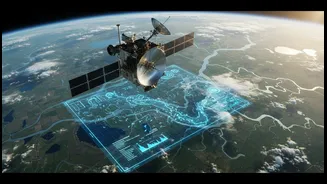
of groundwater beneath our feet. A true public information service needs to capture this entire system. Today, a quiet revolution is underway, transforming this once-specialised data into an accessible service. Using satellites, ground sensors, and real-time data modelling, agencies are now tracking the full journey of water, providing a holistic view that is crucial for a water-stressed country like India.
A Digital Shield Against Floods
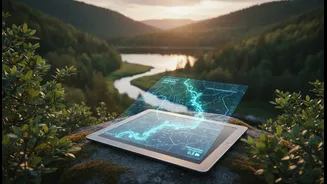
For residents of Mumbai, Chennai, and Kolkata, the monsoon often brings anxiety about urban flooding. Now, technology offers a powerful line of defence. Integrated flood warning systems like iFLOWS in Mumbai and C-FLOOD in Chennai provide real-time information on inundation risks. These platforms are complemented by national-level tools from the Central Water Commission (CWC), most notably the 'FloodWatch' mobile app. This app provides near real-time river flow data, 7-day flood forecasts, and location-specific risk assessments. It allows a citizen to check if their area is at risk, get alerts in English or Hindi, and access emergency guidelines, turning a smartphone into a personal flood warning device. The CWC's network now includes hundreds of monitoring stations, issuing thousands of highly accurate forecasts annually to help local authorities and citizens prepare.
Putting Power in the Farmer's Hands
India's agricultural sector, which uses the vast majority of the country's water, is heavily reliant on groundwater. Historically, farmers have had little information about the state of these underground reserves. This is changing with initiatives like the 'Jaldoot' app, developed by the Rural Development and Panchayati Raj ministries. This app uses a network of selected wells in villages to measure water tables twice a year, before and after the monsoon, creating a nationwide picture of groundwater levels. Other apps like 'Bhujal' and 'JalDrishti' are also empowering farmers. They provide data on borewell water availability and help in planning crops based on known water resources, moving from guesswork to data-driven agriculture. This information helps in managing irrigation, conserving electricity, and ensuring the long-term sustainability of precious groundwater.
From National Data to Household Decisions
The availability of this data is not just for disaster management or agriculture; it’s becoming part of everyday decision-making. The CWC publicly shares the weekly storage levels of over 150 major reservoirs in the country. A web portal for the Reservoir Storage Monitoring System makes this information, which is vital for water security, accessible to the general public. This transparency means a resident can understand the water situation in their region, a small business can anticipate water availability, and community groups can advocate for better management. Furthermore, the National Water Quality Monitoring Programme tracks the health of thousands of rivers, lakes, and wells, with data made available through the Central Pollution Control Board (CPCB), ensuring public awareness about the safety of water sources.
The Technology Behind the Transparency
This data democratisation is powered by a confluence of technologies. The Indian Space Research Organisation (ISRO) plays a key role, using a constellation of satellites for everything from assessing groundwater prospects to monitoring reservoir levels and forecasting floods. This is combined with data from thousands of ground-based monitoring stations, many of which are now automated for real-time data transmission. Advanced mathematical models and AI then process this information to generate accurate forecasts. The final, critical link is the mobile app and web portal, which translates this complex scientific data into simple, actionable information—like a green, yellow, or red circle on a map—that anyone can understand.