




The Moon’s Navigation Dilemma
Navigating on the Moon is far more complex than a drive across town. Earth's Global Positioning System (GPS) signals are incredibly weak by the time they reach the Moon, making them unreliable for precision tasks. The satellites are, after all, pointed
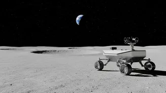
at Earth. Furthermore, the rugged lunar terrain, especially at the sought-after South Pole, can easily block the line of sight to Earth, cutting off both communication and traditional tracking methods. For astronauts in a rover or on foot, the harsh lighting conditions create disorienting, razor-sharp shadows, making visual navigation by landmarks a significant challenge—a problem that even Apollo-era astronauts faced. To build a sustainable presence under the Artemis program, explorers need a reliable, independent system to know exactly where they are.
A Lighthouse on the Lunar Shore
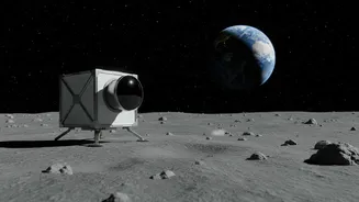
Enter NASA's Lunar Node-1 (LN-1), a key technology demonstrator that acts like a navigational lighthouse. LN-1 is a small, autonomous navigation payload designed to be placed on the lunar surface. The payload, which flew on Intuitive Machines' first commercial lander mission, was built to test the concept of a local navigation beacon. Its job is simple in concept but revolutionary in practice: transmit a steady radio signal that other assets—like rovers, orbiting spacecraft, or future astronauts—can use as a fixed reference point to calculate their own position with high accuracy. Think of it not as a single solution, but as the first anchor point for a much larger web.
Building the 'Internet' of the Moon
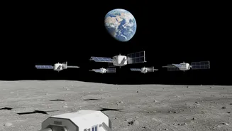
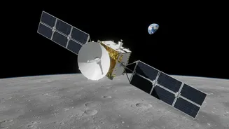
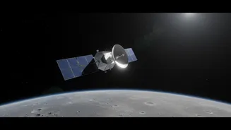
The LN-1 payload is a foundational piece of a much grander vision called LunaNet. NASA's goal with LunaNet is to create an interconnected network of services for the Moon, similar to how the internet and GPS function on Earth. This 'network of networks' will link orbiters, landers, and surface explorers together, allowing them to communicate and navigate seamlessly without each mission needing its own direct-to-Earth link. Payloads like LN-1 are the first nodes in this network. Other related technologies, like the NavCube3-mini receiver recently delivered for an upcoming relay satellite, are also part of this strategy. This shoebox-sized device is designed to catch weak GPS signals from Earth and use them to help satellites navigate themselves in lunar orbit, further strengthening the overall network.
What the Signals Reveal
The true 'revelation' from LN-1 and similar payloads is the confirmation that a local, surface-based navigation network is a viable solution. The initial LN-1 mission successfully transmitted its beacon, demonstrating that a small, relatively low-power device can function as a stable positioning aid. The experiment proved that it's possible to use these local signals to achieve precise geolocation, reducing reliance on Earth-based systems. It confirms the feasibility of creating a robust network that can provide centimetre-level accuracy, work in strategically important but hard-to-reach areas like shadowed craters, and serve multiple users at once. This data is critical for designing the final, operational version of LunaNet, showing what works and what needs refinement for a permanent system.
Paving the Way for a Lunar Economy
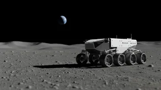
This technology is about much more than just not getting lost. It is a fundamental enabler of long-term settlement and commercial activity on the Moon. Precise navigation is essential for the Artemis program's ambitious goals. It allows for the safe and efficient operation of robotic rovers for construction and resource prospecting. It gives astronauts the confidence to undertake long-range geological expeditions far from the lander. And it is absolutely critical for the precise assembly of habitats and infrastructure for a permanent lunar base. By building this foundational infrastructure, NASA is not just planning a series of missions; it is laying the logistical groundwork for a future lunar economy where both government and commercial players can operate safely and efficiently.