






Weighing Water from Space
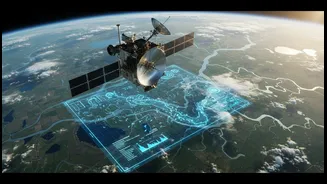
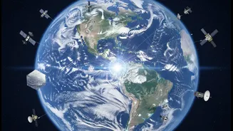
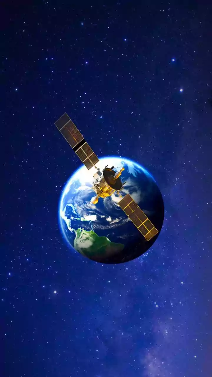
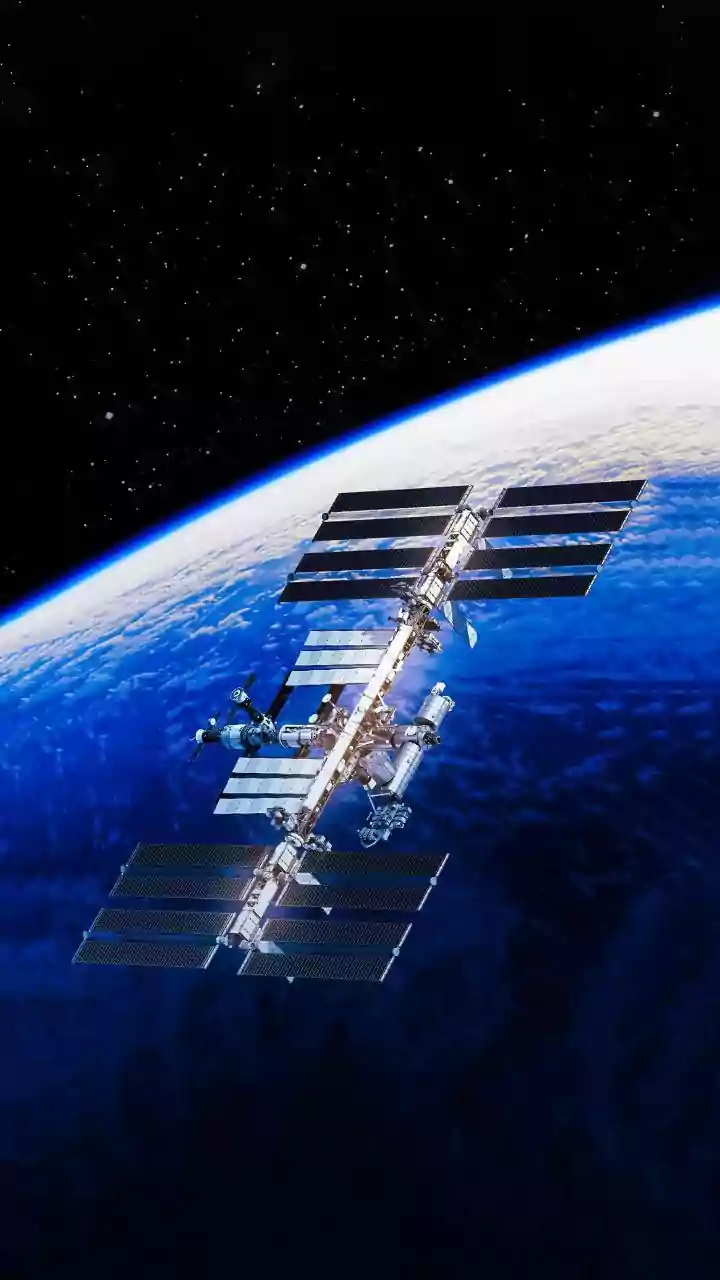
It sounds like science fiction, but scientists can now essentially 'weigh' the amount of water on and under the ground using satellites. The primary technology for this is a pair of satellites, part of missions like the Gravity Recovery and Climate Experiment
Follow-On (GRACE-FO). These twin satellites fly one behind the other, separated by about 220 kilometres. As they orbit Earth, any area with more mass—like a region with water-saturated soils or a full aquifer—exerts a slightly stronger gravitational pull. This pull minutely alters the distance between the two satellites. By precisely measuring these tiny changes, scientists can create monthly maps of changes in Earth’s gravity field, which directly correspond to changes in water storage. This includes everything from groundwater deep underground to the moisture in the soil and the water in rivers and lakes.
A New View of Rivers and Lakes
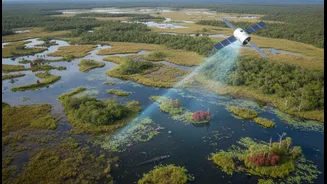
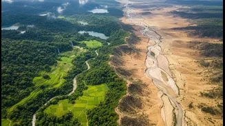
While GRACE-FO measures total water mass, other satellites provide different but equally crucial data. The Surface Water and Ocean Topography (SWOT) mission, for example, is specifically designed to measure the height of surface water bodies with incredible precision. Using advanced radar technology, SWOT can map the elevation of virtually all rivers, lakes, and reservoirs. This is a game-changer compared to traditional methods that rely on physical gauges placed at specific points along a river. With SWOT, scientists can see the complete picture of a river system, tracking how it swells during the monsoon and shrinks in the dry season. Other optical satellites like Sentinel and Landsat also help by mapping the visible extent of water bodies, allowing experts to see how a reservoir's surface area changes over time or identify areas hit by flooding.
Comparing Seasons with Unprecedented Clarity
The real power of this satellite data lies in its consistency and scale. By collecting records month after month, year after year, a detailed history of water movement is built. This allows for direct and accurate comparisons. For instance, water managers can compare the total water stored in the Ganga basin after a strong monsoon in one year to that of a weak monsoon in another. They can see not just if a drought is happening, but how its severity compares to past events by analysing soil moisture and groundwater depletion over several seasons. This historical context is vital. It helps distinguish between normal seasonal fluctuations and worrying long-term trends, such as the steady depletion of critical aquifers used for agriculture. The data provides a clear, objective baseline for understanding our water cycles.
A Vital Tool for India's Future
For a country as dependent on seasonal water as India, this technology is invaluable. The data feeds into systems that provide early warnings for both droughts and floods. By seeing soil moisture levels drop across a region, authorities can anticipate agricultural distress and act sooner. Conversely, by monitoring how saturated the ground is and the levels in rivers upstream, flood forecasting becomes more accurate, potentially saving lives and property. This information is also critical for long-term planning. It helps in making smarter decisions about where to build dams, how to manage reservoir levels for irrigation and power, and how to create sustainable groundwater management policies. Researchers in India are already working to integrate data from missions like SWOT and GRACE to better prepare for climate extremes.