



The Anatomy of a Glacier Flood
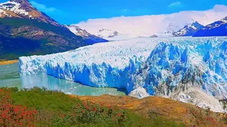
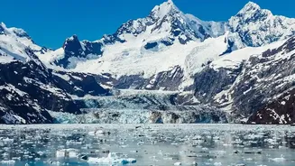
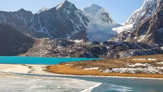
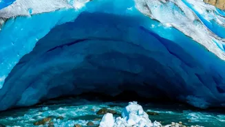
The primary danger comes from a phenomenon known as a Glacial Lake Outburst Flood, or GLOF. As glaciers retreat due to warming temperatures, they leave behind vast lakes, often dammed by unstable walls of ice and debris called moraines. These natural
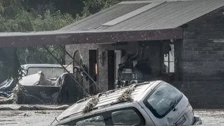
dams can breach without warning. Triggers can include heavy rainfall, earthquakes, or a large chunk of ice or rock falling into the lake, causing a massive wave that overtops the fragile dam. The result is a sudden, violent release of millions of cubic metres of water, mud, and boulders that scours entire valleys, travelling over 100 kilometres downstream and destroying everything in its path.
Nepal: A Nation on the Frontline
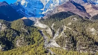
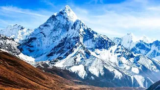
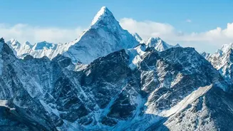
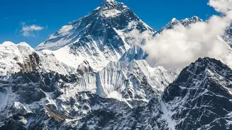
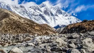
Nepal is particularly vulnerable to these disasters. Recent events underscore the severity of the threat. A catastrophic flood in late August 2026, which killed over a thousand people, was triggered by the collapse of a 'hanging glacier' in Langtang National Park. This event, which created a debris flow that travelled nearly 100 km, highlights a growing danger that goes beyond traditional GLOFs. The Himalayas are warming at nearly twice the global average, causing glaciers to retreat rapidly and leaving the landscape increasingly unstable. Scientists have identified dozens of potentially dangerous glacial lakes across Nepal, with the real number believed to be much higher, putting millions of people at risk.
A Compounding Crisis of Landslides
The problem isn't limited to floods. The same warming that melts glaciers also thaws permafrost—the permanently frozen ground that acts as a glue holding mountain slopes together. As this permafrost thaws, slopes become destabilised, dramatically increasing the risk of landslides. These landslides can be catastrophic on their own, or they can trigger GLOFs by falling into glacial lakes. Furthermore, climate change is bringing more erratic and intense rainfall to the region, which further saturates the soil and makes landslides more likely. This creates a dangerous feedback loop where melting ice and increased rain combine to multiply the threats facing mountain communities.
Why This Matters for India
A disaster in Nepal is rarely confined by its borders. The major river systems of the Himalayas, including the Ganga and Brahmaputra, are fed by these very glaciers. A GLOF or major landslide upstream in Nepal can send devastating floodwaters across the border into states like Bihar and Uttar Pradesh. More directly, the Indian Himalayan states of Uttarakhand, Himachal Pradesh, Sikkim, and Arunachal Pradesh face the exact same threats. Uttarakhand has over 1,200 glacial lakes, and authorities have identified nearly 200 high-risk lakes across the Indian Himalayas. The 2021 Chamoli disaster in Uttarakhand, a similar event involving a rock and ice avalanche, serves as a stark reminder that these are shared regional vulnerabilities. Following the August 2026 Nepal disaster, Indian authorities have stepped up monitoring of glaciers and lakes.
The Urgent Need for Cooperation
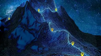
Experts agree that technology alone is not enough to prevent disaster. While satellite monitoring and on-the-ground sensors are crucial, recent events have shown that early-warning systems can be overwhelmed by the speed of these cascading disasters. An alert sent 38 minutes after the August 2026 glacier collapse in Nepal was too late for many. The path forward requires robust cross-border collaboration between India, Nepal, and China. This includes sharing real-time data from monitoring systems, developing joint risk maps, and creating harmonised early-warning protocols that can reach the most remote communities in minutes. Without coordinated action to both mitigate climate change and adapt to its unavoidable consequences, the ticking time bombs in the Himalayas will continue to pose a grave threat to millions downstream.