
The Doomsday Glacier Explained
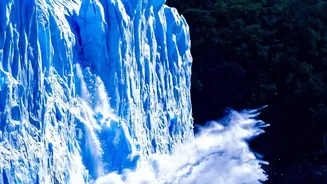
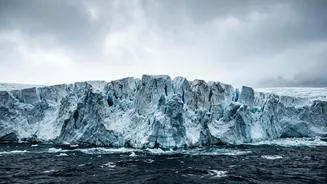
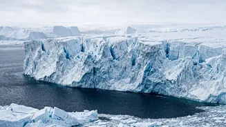
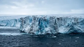
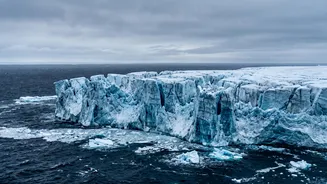
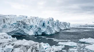
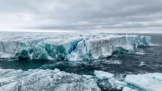
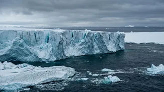
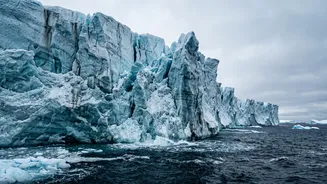
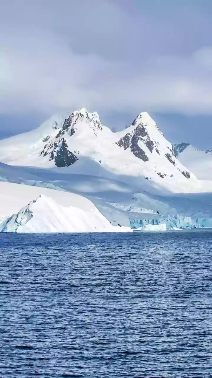
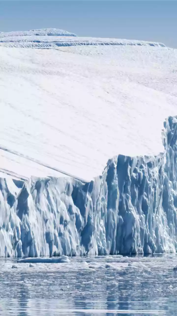
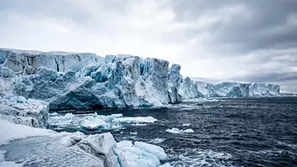
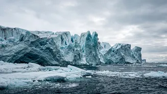
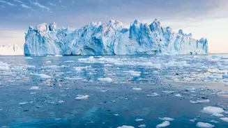
In the vast, frozen expanse of West Antarctica lies a colossal river of ice called the Thwaites Glacier. It is immense, covering an area of 192,000 square kilometres, roughly the size of Great Britain or the US state of Florida. For years, scientists
have watched it with growing concern. Its sheer size means that if it were to collapse entirely, it holds enough ice to raise global sea levels by a catastrophic 65 centimetres, or over two feet. This potential for global impact is what earned it the ominous nickname, the 'Doomsday Glacier'. Currently, Thwaites alone is responsible for about 4% of the world's annual sea-level rise, shedding about 50 billion tonnes of ice every year.
A New Look Beneath the Ice
For a long time, the primary concern was warm ocean water melting the glacier from underneath, especially at its 'grounding line'—the point where the ice lifts off the seabed and begins to float. However, studying this incredibly remote and dangerous environment is a monumental challenge. To get a clearer picture, scientists have deployed remarkable technology, including uncrewed submarines and robotic vehicles like 'Icefin'. These tools have ventured where humans cannot: into the dark, freezing water channels beneath the vast floating ice shelf. Teams have also used hot water drills to bore hundreds of metres through the ice, lowering sensors to gather the first-ever direct, long-term data from this critical location. This has provided an unprecedented look at what is truly happening at the glacier's base.
More Complicated Than We Thought
The latest findings, published in journals like Nature Communications, have been startling. Earlier models treated the melting point as a simple line, but the new data reveals a much more complex and worrisome reality. Scientists now see a wide 'grounding zone' where seawater, driven by tides, pushes several kilometres farther inland under the ice than previously assumed. This 'tidal pumping' mechanism injects warm, salty water deep beneath the glacier, causing vigorous melting in places that were once thought to be more stable. Furthermore, the robotic missions discovered that while the flat base of the glacier is melting slower than some models predicted, melting within deep cracks and crevasses is happening much faster. These fissures act like channels, allowing warm water to attack the glacier from within, widening the cracks and accelerating the weakening process.
Doubling the Projections
This new understanding of tidal pumping and crevasse melting is forcing a major revision of future sea-level rise predictions. A new generation of computer models, incorporating this new data, suggests that Thwaites' contribution to sea-level rise by the year 2100 could be up to 30 millimetres—roughly double what earlier projections indicated. Alarmingly, this accelerated melt could happen even without any additional global warming beyond today's conditions. Scientists also warn there is a significant chance that the glacier could detach from a key underwater ridge that is currently holding it back, a development that could trigger a much more rapid retreat.
The View from India's Coastline
While Antarctica may seem a world away, the fate of Thwaites Glacier is directly linked to the future of India's extensive coastline. A sea-level rise of 65 centimetres from a full collapse would be devastating for low-lying coastal cities. Major population centres like Mumbai, Chennai, and Kolkata are already identified as highly vulnerable to rising seas. Increased coastal flooding, saltwater intrusion into drinking water sources, and the displacement of millions of people are no longer distant threats but tangible risks. The instability of a single glacier on the other side of the planet underscores the interconnectedness of our global climate system and poses a direct threat to India's economic hubs and coastal communities.