





A New Eye in the Sky
For decades, firefighters have relied on satellites for a bird's-eye view, but these systems were often designed for other purposes, like weather monitoring. This meant the data could be low-resolution or arrive hours too late, making it hard to detect
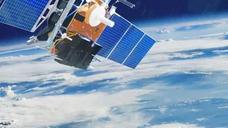
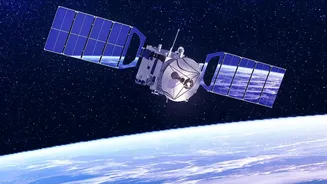
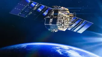
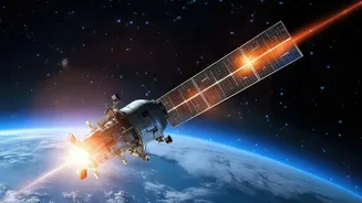
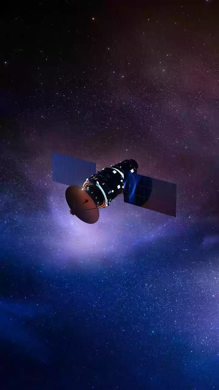
fires smaller than a soccer field. The FireSat program, a collaboration between the nonprofit Earth Fire Alliance, space systems company Muon Space, and Google Research, was created to solve this problem. It is the first satellite system designed specifically for detecting and monitoring wildfires. The goal is to create a constellation of over 50 satellites that, by 2030, will be able to scan the entire planet every 20 minutes. The first prototype was launched in March 2025, with the first operational satellites following in the summer of 2026.
Learning from the Past to Predict the Present
The true innovation of FireSat lies in how it combines high-resolution infrared imagery with artificial intelligence. The system doesn’t just see a new hot spot; it understands context. The AI is trained by comparing a current image with thousands of previous images of the very same location. This historical data teaches the system to distinguish the unique thermal signature of a budding wildfire from other common heat sources, like industrial facilities or sun-baked rocks, dramatically reducing the rate of false positives to below 5%. It's like having a lookout who not only has a powerful pair of binoculars but also a perfect memory of what the landscape is supposed to look like. This allows the system to spot fires as small as 5-by-5 meters—about the size of a single-car garage—long before they escalate into uncontrollable disasters.
More Than Just a Warning
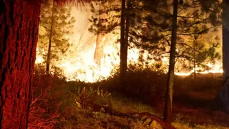
Faster detection is only part of the equation. FireSat provides a suite of data products designed to give first responders critical situational awareness. Beyond just a hotspot notification, the system can generate continuously updated maps of a fire's perimeter and track its progression, including its speed and direction. It can also measure the fire's radiative power, which tells firefighters how intense the blaze is. This rich, near-real-time intelligence allows incident commanders to allocate resources more efficiently, plan evacuations more effectively, and ultimately keep firefighters on the ground safer. The prototype satellite has already proven its worth, detecting fires across five continents, including a small, cool-burning fire in the Western U.S. that older satellite systems failed to identify.
A Growing Field of Fire Tech
FireSat is a prominent example of a broader trend in "fire tech," where companies are racing to apply modern technology to an age-old problem. Other innovators like Germany-based OroraTech are also launching their own constellations of thermal-imaging satellites. OroraTech's system can deliver alerts within three minutes of detection by using onboard AI to process data directly in space. Meanwhile, companies like Pano AI are tackling the problem from the ground up, deploying networks of 360-degree cameras on mountaintops that use AI to scan for the first wisps of smoke. This combination of space-based and ground-based systems is creating a multi-layered defense network, providing a more complete and resilient picture of wildfire risk and activity.