


The Obvious View: What We See
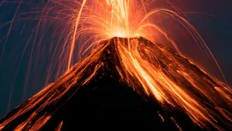
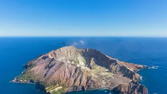
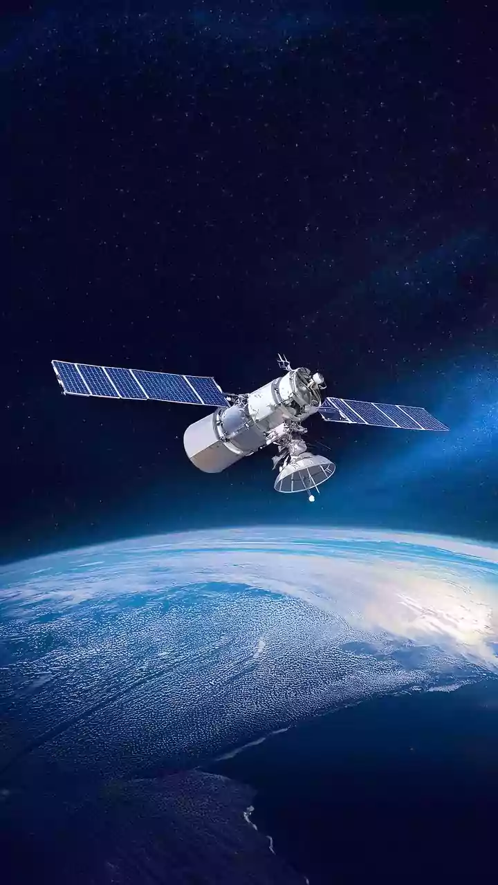
The most familiar satellite images are optical ones, essentially photographs taken from orbit. They are incredibly useful for tracking the most visible signs of an eruption: vast ash clouds that can disrupt air travel, or the path of a new lava flow.
These images help authorities assess the immediate impact on surrounding areas. However, their limitations are significant. Optical sensors can't see through clouds, which often shroud volcanic peaks. They also can't reveal what's happening at night. Most importantly, they only show the surface. A volcano might look perfectly calm in a photo while, deep underground, magma is dangerously on the move.
Feeling the Heat: Thermal Imaging
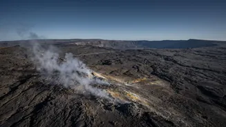
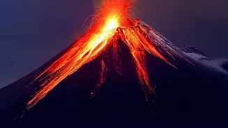
To get around the limitations of visible light, scientists turn to thermal infrared sensors. These instruments don't see light; they detect heat. Satellites equipped with thermal sensors can spot 'hot spots' on a volcano's surface, which could indicate fresh lava or superheated gases escaping from a vent. This can provide early warnings, even for volcanoes in the most remote corners of the globe. But heat signatures can be misleading. A thermal anomaly might just be a persistent fumarole (a gas vent) and not necessarily a precursor to an eruption. Furthermore, like optical images, thermal data can be obscured by weather. It tells scientists that something is hot, but not always what it means.
Measuring the Ground's 'Breath'
Some of the most critical clues to an impending eruption are invisible. As magma accumulates in underground chambers, it can cause the ground surface to swell and bulge, sometimes by just a few centimetres. To detect this, scientists use a powerful technique called Interferometric Synthetic Aperture Radar (InSAR). By comparing two radar images taken at different times, InSAR can create a detailed map of ground deformation, showing where the land has risen or fallen. This is like measuring the volcano's 'breath' as it inhales magma. A key advantage of radar is that it can penetrate clouds and works day or night. However, InSAR also has drawbacks. It can struggle in heavily vegetated areas and the data can be affected by atmospheric moisture. A volcano might be swelling, but this doesn't always lead to an eruption; sometimes the pressure subsides without incident.
Sniffing from Space: Gas Emissions
Volcanoes exhale gases, and a change in the recipe can signal trouble. One of the most important gases to monitor is sulfur dioxide (SO2), as a spike in its emission often indicates that magma is rising closer to the surface. Modern satellite instruments can detect and measure SO2 plumes from space, providing another vital stream of information. This is especially useful for the many active volcanoes that lack ground-based monitoring systems. Yet, even this method isn't foolproof. The gas plumes can be dispersed by wind, and in some areas, volcanic emissions can be masked by urban or industrial pollution, making them hard to measure accurately from orbit.
The Complete Picture: A Multi-Layered Approach
No single satellite technology can tell the whole story. A volcano might show ground deformation (InSAR) but no unusual heat (thermal) or gas (spectrometry). Another might release a burst of SO2, but its shape remains stable. Volcanologists act like detectives, assembling evidence from all these different sources. They combine optical images, thermal data, deformation maps, and gas measurements to build a comprehensive model of the volcano's behaviour. This multi-layered satellite data is then, ideally, combined with ground-based monitoring like seismometers, which detect the small earthquakes caused by moving magma. Only by weaving together all these threads can scientists hope to make reliable forecasts and issue timely warnings to protect lives.