




The Science of Finding Fish
For generations, Indian fishermen have read the winds, currents, and stars to find their catch. This traditional knowledge remains invaluable, but today it is supercharged with modern science. With over 7 million people dependent on fishing along India's
vast coastline, locating fish efficiently is not just about profit; it's about survival, safety, and the sustainability of marine resources. This is where fisheries forecasting comes in. The process aims to pinpoint 'Potential Fishing Zones' (PFZs) — areas where fish are likely to aggregate. Getting this right reduces search time, saves precious fuel, and ultimately leads to better, more predictable catches, bolstering the livelihoods of coastal communities.
Computer Models and Satellite Eyes
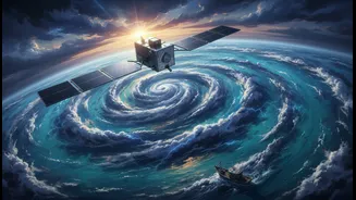
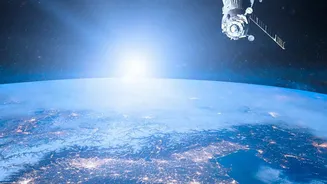
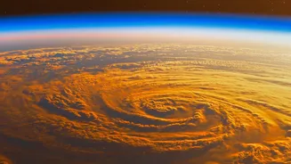
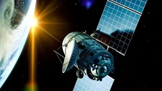
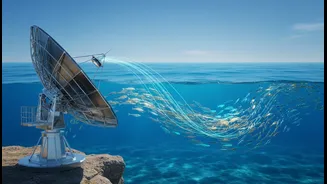
The process begins far from the sea, with powerful computer models and data from satellites orbiting Earth. Scientists at organisations like the Indian National Centre for Ocean Information Services (INCOIS) use sophisticated mathematical models to simulate ocean dynamics. These models are fed a constant stream of data from satellites, which act as our eyes in the sky. Satellites don't see the fish directly, but they observe crucial ocean features that signal their presence. Key indicators include sea surface temperature (SST) and ocean colour. Different fish species prefer different temperature ranges, and changes in SST can create thermal fronts where nutrients and fish tend to congregate.
Reading the Ocean's Colours
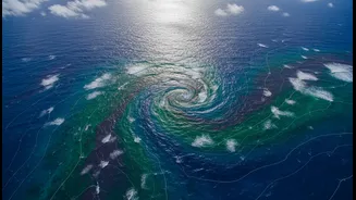
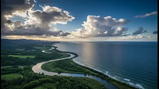
Ocean colour is another vital piece of the puzzle. Satellite sensors can detect subtle variations in the colour of the water, which reveal the concentration of chlorophyll. Chlorophyll is the pigment in phytoplankton, microscopic marine plants that form the base of the entire marine food web. Where there is a lot of phytoplankton, there is food for small fish, which in turn attracts the larger, commercially valuable fish that fishermen are seeking. By identifying areas with high chlorophyll concentrations, scientists can map out the most productive zones in the ocean, giving fishermen a massive advantage before they even leave the shore.
The Crucial Reality Check: Field Validation
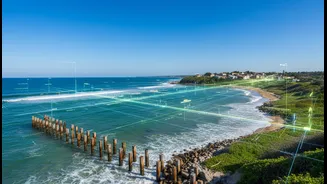
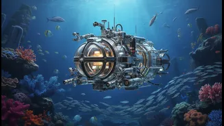
Technology alone isn't enough. Models and satellite data provide a brilliant, big-picture forecast, but they must be checked against reality on the water. This is where field validation becomes essential. Information collected from fishermen about their actual catches — what they caught, where, and how much — serves as critical feedback. This data, sometimes referred to as 'catch per unit effort', helps scientists verify whether the predicted PFZs were accurate. If fishermen report high catches in a forecasted zone, it validates the model. If not, scientists can use that information to refine their models and improve future advisories. This feedback loop between scientists and the fishing community is vital for ensuring the forecasts remain reliable and effective.
Impact on Fishermen and the Future
The result of this three-part process is a powerful tool that transforms the fishing industry. INCOIS disseminates PFZ advisories daily to lakhs of fishermen via various channels, including SMS and dedicated apps. Studies have shown that these forecasts significantly reduce search time and fuel costs while increasing the catch, sometimes by a considerable margin. This directly translates to higher incomes and improved safety, as fishermen spend less time searching in unpredictable open waters. As climate change alters ocean conditions, making traditional knowledge less predictable, these scientific forecasts are becoming even more critical. The ongoing refinement of models, combined with ever-improving satellite technology and strong community feedback, promises a more sustainable and prosperous future for Indian fisheries.