





A New Space Race for Data
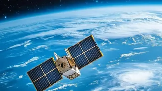
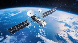
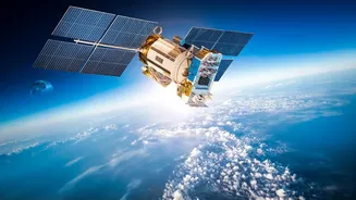
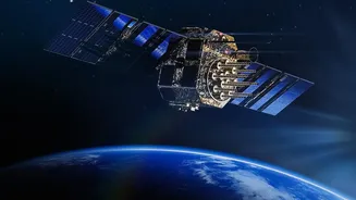
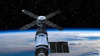
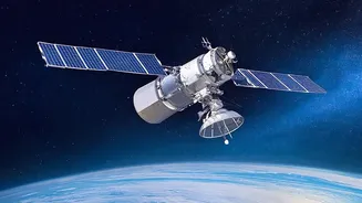
The skies above are becoming increasingly crowded, not with astronauts, but with thousands of small, privately-owned satellites. Companies like Planet Labs, Satellogic, and others are deploying large constellations of these devices, some capable of imaging
the entire Earth's landmass every single day. This marks a fundamental shift from the past, where satellite imagery was a scarce and expensive resource controlled by government agencies. This new commercial remote-sensing industry has dramatically increased the volume and accessibility of Earth observation data, creating a market projected to be worth billions of dollars.
The Power of AI-Driven Insight
Collecting petabytes of imagery is only half the story. The real game-changer is the convergence of this data with artificial intelligence. AI and machine learning algorithms are now the engine of Earth observation, capable of sifting through massive datasets to detect patterns, identify objects, and monitor changes with incredible speed and accuracy. These systems can automate tasks that would take humans months, such as tracking deforestation, monitoring urban sprawl, or identifying crop stress before it's visible to the naked eye. Some satellites are even beginning to process data on-board using AI, allowing them to transmit alerts and intelligence in near real-time instead of just raw imagery.
Unprecedented Benefits Across Sectors
The applications of this technology are transforming industries. In agriculture, satellite data helps farmers with precision farming, enabling them to optimize the use of water and fertilizer, monitor crop health, and increase yields. For climate science, these systems provide critical data for monitoring greenhouse gas emissions, tracking ice melt, and understanding environmental changes. In disaster response, rapid satellite imagery is indispensable for assessing damage from floods, wildfires, and earthquakes, helping first responders act more effectively. Businesses use this data for everything from monitoring supply chains to assessing infrastructure.
A Governance and Ethics Vacuum
This technological leap forward comes with significant challenges. The same technology that can monitor crops can also be used for persistent surveillance, raising profound questions about privacy and security. A recent report from the Organisation for Economic Co-operation and Development (OECD) highlighted the dual-use nature of Earth observation data, which can be used for both civilian benefit and national security risks. There is growing concern about the potential for misuse, including the spread of disinformation through manipulated or misinterpreted satellite imagery. The ease of access to high-resolution imagery means that sensitive government sites and individual activities are more exposed than ever before.
The Struggle for Global Rules
The legal frameworks governing this new era are lagging far behind the technology. The Outer Space Treaty of 1967, the foundational document of space law, establishes space as free for exploration and use by all states but provides little specific guidance on remote sensing. While individual countries like the U.S. have licensing requirements for their commercial satellite operators, these rules are not universal. This creates a patchwork of national regulations, where companies in countries with looser rules may face fewer restrictions. There is no single international body that comprehensively governs the collection, use, and sharing of privately gathered satellite data, creating a complex and uncertain environment for both innovation and accountability.