





A Quake That Wasn't a Quake
In the early hours of Wednesday morning, seismic monitoring stations registered a notable event. Initially classified as a moderate earthquake of magnitude 4.4, it seemed like another routine tremor in a tectonically active region. However, as seismologists
began analyzing the data more closely, inconsistencies emerged. The seismic 'fingerprint' of the event didn't quite match that of a typical earthquake. Earthquakes are caused by the sudden rupture of a fault, releasing energy in sharp, distinct waves. This event was different; its signal was more prolonged and noisy, what scientists sometimes refer to as a 'messy' signal. This discrepancy prompted a deeper investigation by geological agencies, including the United States Geological Survey (USGS), which quickly began to suspect a different culprit.
The Sound of a Moving Mountain
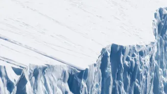
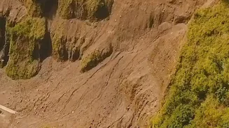
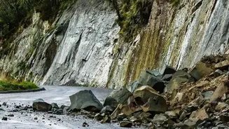
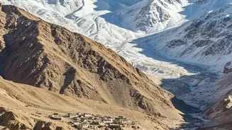
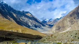
The leading theory now is that the tremor was not caused by shifting tectonic plates but by a massive amount of moving debris on the Earth's surface. Specifically, evidence points towards a glacial collapse that triggered a huge debris flow—a fast-moving slurry of rock, ice, mud, and water. Unlike the sharp 'snap' of an earthquake, a large-scale landslide or debris flow generates a continuous, rumbling vibration that can last for several minutes. This creates a unique seismic signature that experienced analysts can distinguish from tectonic activity. Scientists were able to re-examine the seismic data, combining it with satellite imagery of the area, which confirmed a large section of a glacier had collapsed. The force of this collapse and the subsequent debris flow was powerful enough to be detected by seismographs hundreds of kilometres away, with the energy released later being estimated as equivalent to a magnitude 5.2 earthquake.
Reading the Seismic Tea Leaves
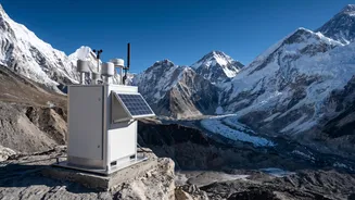
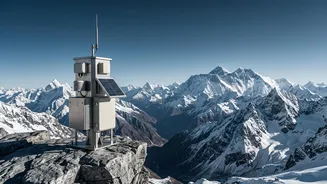
Distinguishing between an earthquake and a landslide from seismic data is a sophisticated process. Seismologists look at the characteristics of different seismic waves. Tectonic earthquakes produce clear, high-frequency P-waves and S-waves. In contrast, surface events like landslides generate more complex, low-frequency surface waves. Think of it as the difference between a sharp clap (an earthquake) and a low, sustained rumble (a landslide). Researchers have developed advanced analytical models that can process these signals to determine not just the source type but also details about the landslide itself, such as its size, speed, and direction of movement. This field of environmental seismology is becoming increasingly crucial for monitoring remote and hazardous mountain regions where on-the-ground observation is often impossible.
A Warning From the High Himalayas
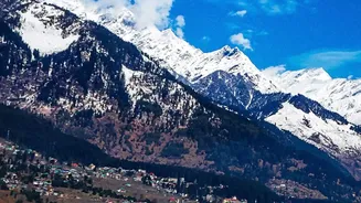
The confirmation that this tremor was a massive debris flow is particularly significant for India and its Himalayan neighbours. The event, which occurred near the Nepal-China border, triggered catastrophic flash floods downstream, highlighting the immense danger these events pose. The Himalayas are warming at an accelerated rate, causing glaciers to melt and become unstable. This increases the frequency of events like rock-ice avalanches and Glacial Lake Outburst Floods (GLOFs). Events like the 2021 Chamoli disaster in Uttarakhand, which was also caused by a rock and ice avalanche, serve as a stark reminder of the vulnerability of downstream communities. Understanding that these events can be detected and identified using seismic networks is a critical step. It opens the door for developing more robust early-warning systems that can provide precious time for evacuation and disaster mitigation efforts.