




From the Pier to the Stars
For most of history, measuring tides meant using a tide gauge—essentially a glorified ruler fixed to a pier or coastal structure. These instruments provide vital, continuous data for a single point, but they have a fundamental limitation: they can only
tell you what is happening at that exact spot. The vast expanse of the open ocean and the complex tidal variations along remote coastlines remained largely unmeasured. This left significant gaps in our understanding, forcing scientists and mariners to rely on models that extrapolated data across huge, unobserved areas. That all changed with the advent of satellite altimetry, a technology that lets us measure the height of the ocean surface from space, globally and consistently.
How to Measure an Ocean from Orbit
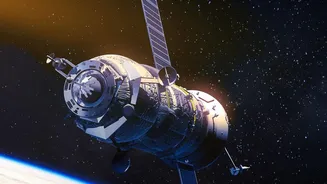
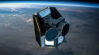
The concept behind satellite tide mapping is both simple and incredibly complex. A satellite, like those in the Jason series or the newer Surface Water and Ocean Topography (SWOT) mission, fires a radar pulse at the ocean and measures the precise time it takes to bounce back. Because the satellite's exact position in orbit is known with immense accuracy, this travel time can be converted into a measurement of the sea surface height, often with a precision of just a few centimetres. These missions circle the globe, systematically mapping the topography of the ocean, revealing the bulges and dips created by currents, gravity, and, of course, tides. More recently, scientists have even developed innovative methods using decades of satellite images to track how the waterline moves up and down a beach, effectively turning the shoreline itself into a high-resolution tide gauge.
The Practical Power of Precision
This firehose of data has quietly transformed numerous industries and scientific fields. For India, with its 7,500-kilometre coastline and bustling ports, accurate tide prediction is a matter of economic vitality and safety. Today’s massive container ships and oil tankers operate with very little room for error. Satellite-enhanced tide models provide mariners with the critical knowledge needed to calculate under-keel clearance, ensuring safe passage through shallow channels and maximising port efficiency. This information is also vital for coastal engineering projects, from building bridges to managing erosion. Beyond commerce, it enhances safety, allowing for better storm surge forecasting during cyclones and providing critical data for search and rescue operations.
A New Lens on Climate Change
Perhaps the most significant long-term impact of satellite tide mapping is its contribution to climate science. To accurately measure global sea-level rise, scientists must first be able to subtract the predictable, daily fluctuations of the tides. The highly accurate, continuous global record from satellites provides the baseline needed to isolate the sea-level rise signal. This data has been crucial in confirming that sea levels are indeed rising and helps refine models that predict future impacts on coastal communities. Furthermore, missions like SWOT can observe fine-scale ocean features like eddies, which play a critical role in how the ocean absorbs heat and carbon, major components of the global climate system.
The Quiet Revolution
Despite its profound impact, satellite tide mapping rarely makes headlines. It is not as visually spectacular as a rocket launch or as immediately relatable as a new smartphone. Instead, it is a form of critical background infrastructure—the invisible data layer that makes our modern world safer and more efficient. It is a slow-burn scientific success story, built over decades by international collaborations between agencies like NASA, CNES, and ISRO. The development has proceeded without the fanfare of commercial tech, driven by the steady pursuit of scientific understanding and public good. It is a powerful reminder that some of the most important technological advancements are the ones working silently in the background.