



The Moon’s Navigation Problem
On Earth, we take GPS for granted. But on the Moon, there is no such system. Astronauts can't just pull out a phone to find their way. Historically, navigation has relied on constant communication with Earth-based tracking stations, a slow process that
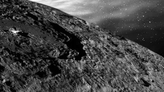
isn't practical for real-time surface operations. The problem is especially acute at the lunar south pole, the target for NASA's upcoming Artemis missions. This region is a land of extreme contrasts, with deep, permanently shadowed craters where temperatures plummet to hundreds of degrees below zero. These shadows, which hide potentially hazardous terrain like boulders and steep slopes, make landing and traversing incredibly difficult. For future astronauts needing to explore these areas for resources like water ice, getting lost or straying into a dangerous crater isn't just an inconvenience—it's a life-threatening risk.
Introducing Lunar Node 1
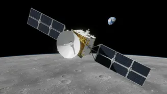
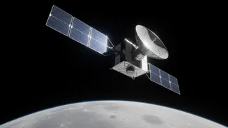
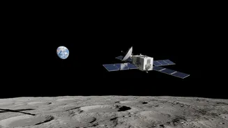
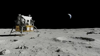
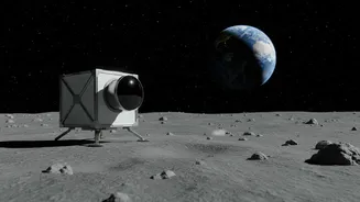
Enter NASA's Lunar Node 1, or LN-1. It's a toaster-sized navigation beacon designed and built at NASA's Marshall Space Flight Center to tackle this very problem. LN-1 is not a standalone GPS, but the first step toward creating a local lunar navigation network. The small, lightweight box was sent to the Moon as a payload on the Intuitive Machines' Odysseus lander, which touched down on the lunar surface in February 2024. The primary goal of the LN-1 mission was to test its autonomous navigation technology in deep space and on the lunar surface, proving that a network of beacons could one day provide real-time positioning data to landers, rovers, and astronauts without relying on Earth.
How It Creates a 'Lunar GPS'
The concept behind LN-1 is elegantly simple: it acts as a fixed 'lighthouse' on the lunar shore. The system is designed to be part of a larger network, called LunaNet, which will function like a localized GPS. By transmitting a signal, LN-1 provides a known reference point. Future landers, rovers, or even astronauts with a receiver could use signals from multiple beacons like LN-1 to triangulate their exact position in real time. This technology demonstration used a system called the Multi-spacecraft Autonomous Positioning System (MAPS), which allows spacecraft to determine their location autonomously through communication-integrated measurements. The successful LN-1 test transmitted data back to NASA's Deep Space Network, confirming the hardware and software worked as expected during its journey and after landing on the Moon, collecting over 200 MB of valuable tracking data.
A Game-Changer for Artemis
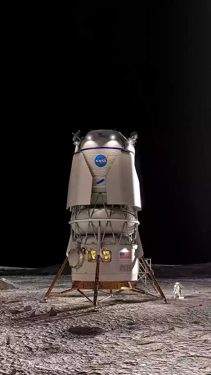
The success of the LN-1 experiment is a critical milestone for NASA's Artemis program, which aims to establish a long-term human presence on the Moon. Safe, reliable navigation is essential for astronauts who will land near the south pole to conduct science and search for resources. With a network of navigation beacons, crews could confidently explore permanently shadowed craters that may hold water ice—a vital resource for making rocket fuel and supporting life. This technology will allow missions to land with greater precision, closer to scientifically interesting sites. It will enable rovers to map terrain autonomously and help astronauts navigate on foot, ensuring they can always find their way back to their lander or habitat. This makes future lunar missions not only safer but significantly more efficient and ambitious.