






A New Eye in the Sky
Imagine being able to see where every drop of rain is falling across the entire country, from the dense forests of the Northeast to the arid landscapes of Rajasthan, all in near real-time. This isn't science fiction; it's the reality of satellite-based
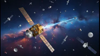
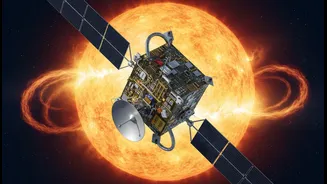
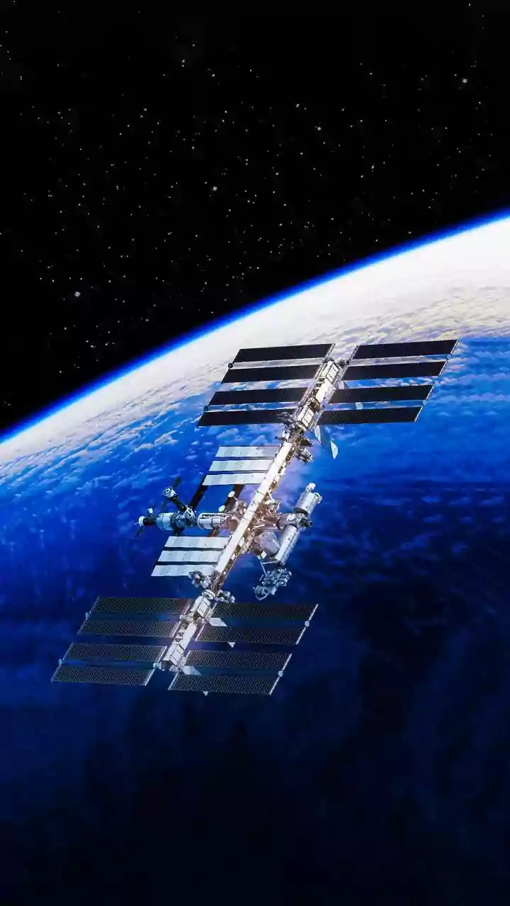
rainfall monitoring. For decades, the Indian Space Research Organisation (ISRO) has been launching a series of advanced meteorological satellites, like the INSAT-3D and INSAT-3DR. These satellites are our sentinels in space, equipped with sophisticated sensors that can estimate rainfall, track cloud movements, and measure atmospheric humidity. Unlike ground-based weather stations, which can be few and far between in remote and rugged terrain, satellites provide a complete and continuous picture. This 'God's-eye view' is revolutionising how we prepare for weather events and manage our most critical resources, especially in areas that have historically been cut off from such detailed information.
From Prediction to Precision Farming
Agriculture is the backbone of the Indian economy, but it remains heavily dependent on the whims of the monsoon. For a farmer in a remote village, knowing when and how much it will rain can mean the difference between a bumper crop and a devastating loss. Satellite rainfall data is transforming this uncertainty into actionable intelligence. By combining satellite observations with weather models, advisories can be sent directly to farmers' mobile phones, often in their local language. These messages provide guidance on the best time to sow seeds, how much irrigation is needed (preventing both water wastage and crop stress), and when to apply fertilisers. This move towards 'precision agriculture' helps small and marginal farmers—who make up over 80% of India's farming community—save money, conserve water, and increase their yields. It also aids in quicker and more accurate damage assessment for crop insurance claims after a flood or drought.
Taming the Fury of Floods and Droughts
India is one of the world's most flood-prone countries, while also regularly experiencing severe droughts. Remote, mountainous regions like the Himalayas and the Western Ghats are particularly vulnerable to devastating flash floods and landslides triggered by intense rainfall. Here, satellite monitoring becomes a life-saving tool. Ground-based rain gauges are often too sparse to capture the localised, extreme rainfall that can trigger a landslide. Studies have shown that satellite data is often more effective at predicting these hazards, giving authorities crucial lead time to issue warnings and evacuate communities. During major flood events, ISRO provides flood inundation maps to disaster management agencies, showing exactly which areas are underwater and helping to direct rescue and relief efforts more effectively. Similarly, during dry spells, satellites can monitor soil moisture and vegetation health to provide early warnings for drought, allowing for better planning and management of water resources.
The Challenges on the Ground
While the technology is incredibly powerful, its potential is only realised when the information reaches the people who need it most. One of the biggest hurdles is this 'last-mile connectivity'. It's not enough to have data on a server in a city; it needs to be translated into simple, actionable advice for a farmer or a village official. Furthermore, satellite observations can sometimes have limitations. Thick cloud cover can occasionally obscure the view, and in complex terrains like mountains, satellite products can sometimes struggle to accurately measure very heavy, localised downpours. Overcoming these challenges requires not just better technology, but also investment in ground-level infrastructure and training to empower local communities to use this data effectively. Building this bridge between space-age technology and grassroots reality is the key to unlocking its full potential.