


The Fire That Breathes Weather
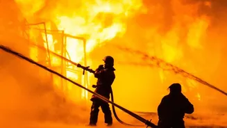
Normally, weather dictates fire behaviour. But when a wildfire becomes exceptionally large and intense, the roles can reverse. These blazes release an enormous amount of energy, heating the air above them and causing it to rise rapidly in a powerful column
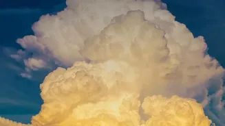
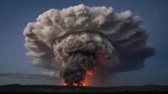
of smoke and ash. This creates what scientists call a pyrocumulonimbus cloud (or pyroCb), a menacing thunderstorm born directly from the inferno below. Often described by NASA as a "fire-breathing dragon of clouds," the formation of a pyroCb is a sign that a fire has entered a new, more dangerous phase, creating a volatile weather system of its own.
A Recipe for a Firestorm
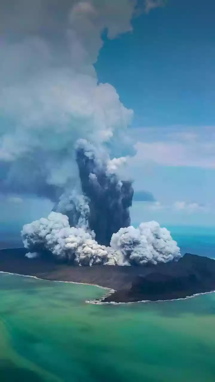
The creation of a pyrocumulonimbus cloud requires a perfect storm of conditions. First, the fire must be incredibly hot and intense to generate a powerful updraft. This rising column of superheated air, smoke, and water vapour—drawn from burnt vegetation and the surrounding atmosphere—ascends into the colder upper atmosphere. As the plume rises, it cools and expands, allowing water vapour to condense around ash particles, forming a cloud. If the updraft is strong enough to push this cloud above freezing altitudes, the water droplets turn to ice crystals. This process releases more heat, further energizing the updraft and transforming a simple smoke plume into a full-fledged, towering thunderstorm that can reach altitudes of 15 kilometres, well into the stratosphere.
A Vicious and Unpredictable Cycle
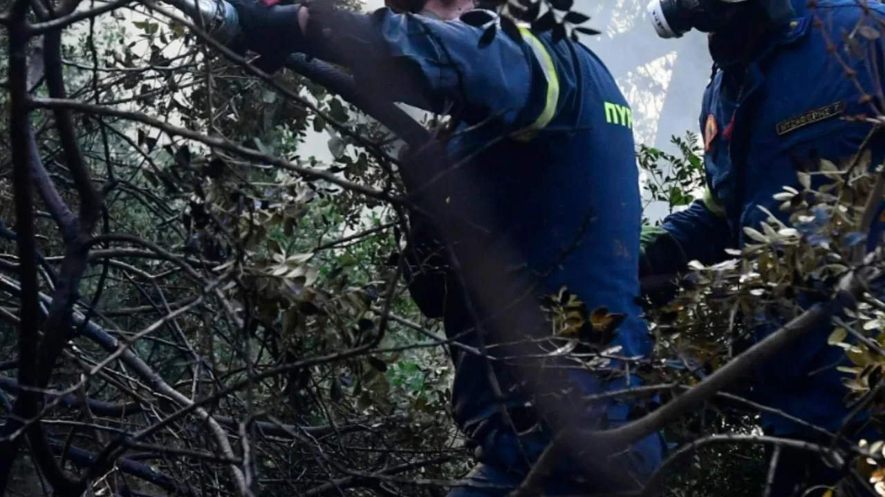
Once formed, a pyroCb makes a dangerous situation drastically worse by creating a chaotic feedback loop. The massive storm cloud generates its own powerful and erratic winds. Strong updrafts suck in more oxygen, feeding the flames like a bellows, while violent downbursts can strike the ground at over 100 km/h, pushing the fire in completely unpredictable directions. This makes the fire's spread dangerously erratic and puts firefighters at immense risk. The storm becomes a self-sustaining system, where the fire fuels the cloud and the cloud, in turn, fuels the fire.
Spawning New Fires From the Sky
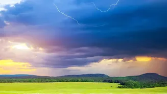
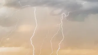
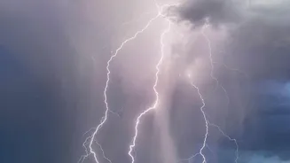
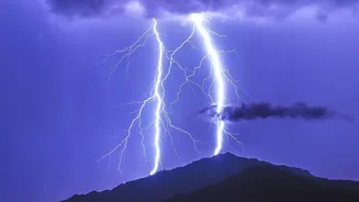
Perhaps the most alarming trait of a fire-born thunderstorm is its ability to generate lightning. Collisions between ice particles within the turbulent cloud create electrical charges, resulting in lightning strikes that can hit the ground miles away from the original fire front. In Australia's "Black Saturday" fires, a pyroCb sparked a new blaze 100 kilometres away. Unlike a normal thunderstorm that might bring quenching rain, the precipitation from a pyroCb often evaporates in the hot, dry air before it can reach the ground. Instead of relief, these storms deliver strong winds and fresh ignition points to parched landscapes, multiplying the threat and stretching firefighting resources to their breaking point.