






The Speed of a Mountain Flood
In the flat plains, floodwaters may rise gradually over days, offering precious time to prepare and evacuate. In Nepal, the opposite is true. The country's defining characteristic—its steep, mountainous terrain—is also its greatest vulnerability during
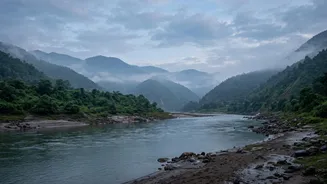
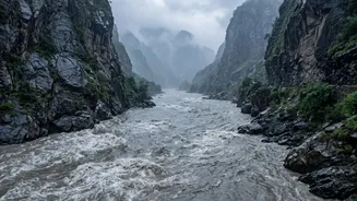
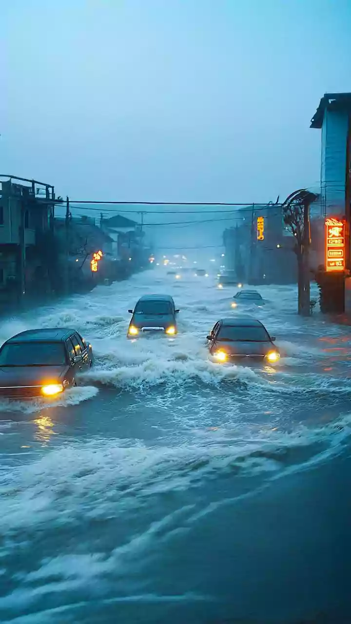
the monsoon. Intense rainfall on near-vertical slopes means water rushes downwards with incredible speed and force, gathering debris and sediment along the way. This can cause flash floods that surge through narrow river valleys, leaving communities with minimal time to react. A flood can be triggered high in the mountains and become a catastrophic event for villages downstream in a matter of hours, or even minutes, long before a formal warning can be issued.
Technology's Uphill Battle
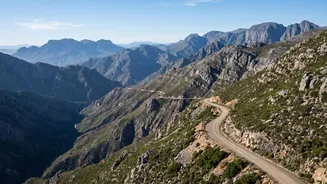
Modern early warning systems rely on a network of sensors, such as river gauges and automated weather stations, to detect rising water levels and predict floods. However, installing and maintaining this technology in the Himalayas is a formidable task. Many of the most critical locations for monitoring are remote, inaccessible, and lack reliable power or communication infrastructure. Equipment must be able to withstand extreme weather conditions, and getting technicians to these sites for repairs is often difficult and expensive. While satellite monitoring and AI-driven forecasting models are becoming more common, they still need to be complemented by on-the-ground data, which remains a significant hurdle.
The Last-Mile Communication Gap
Generating a warning is only half the battle; the information must reach the people at risk. This is often called the "last-mile" problem. In many remote parts of Nepal, mobile networks and internet connectivity are sparse or non-existent. To overcome this, Nepal has increasingly relied on Community-Based Flood Early Warning Systems (CBFEWS). These systems use a mix of high-tech and low-tech methods. An alert from a government agency might be relayed via mobile phone to a designated community leader, who then activates a local siren, uses loudspeakers, or sends volunteers door-to-door. This people-centered approach is vital for ensuring that warnings are not just sent, but also received and acted upon by vulnerable communities.
A New Threat from Melting Glaciers
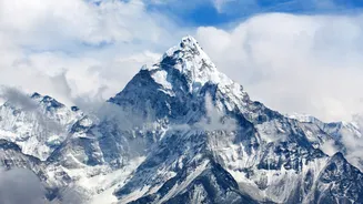
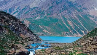
Climate change is adding another dangerous and unpredictable layer to Nepal's flood risk: Glacial Lake Outburst Floods (GLOFs). As global temperatures rise, Himalayan glaciers are melting at an accelerated rate, forming vast lakes in unstable, high-altitude environments. These lakes can be dammed by nothing more than loose rock and ice. If this natural dam fails, it can release a massive volume of water and debris in an instant, causing a flood far more destructive than one from rainfall alone. Monitoring these 47 potentially dangerous lakes is incredibly difficult due to their remote locations, and the science of predicting exactly when one might burst is still developing, making GLOFs a terrifying and growing threat.
When Floods Cross Borders
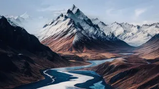
Many of Nepal's major rivers, including the Bhote Koshi and Karnali, originate in the Tibetan Plateau in China. This means a disaster can begin in one country and have devastating consequences in another. A GLOF or a landslide-induced flood on the Chinese side of the border can send a surge of water into Nepal with little or no advance notice, as there is often no formal mechanism for sharing real-time hydrological data. Recent disasters have highlighted this critical gap, prompting calls for greater cross-border cooperation. For a warning to be truly effective, the alert must be able to travel across the border faster than the floodwaters do.