


A New Chapter in Martian Cartography
Scientists from Ahmedabad's Physical Research Laboratory (PRL) have unveiled a significant breakthrough in our understanding of Mars. By analysing observations from the UAE's Hope mission, they have successfully mapped the extreme temperature fluctuations
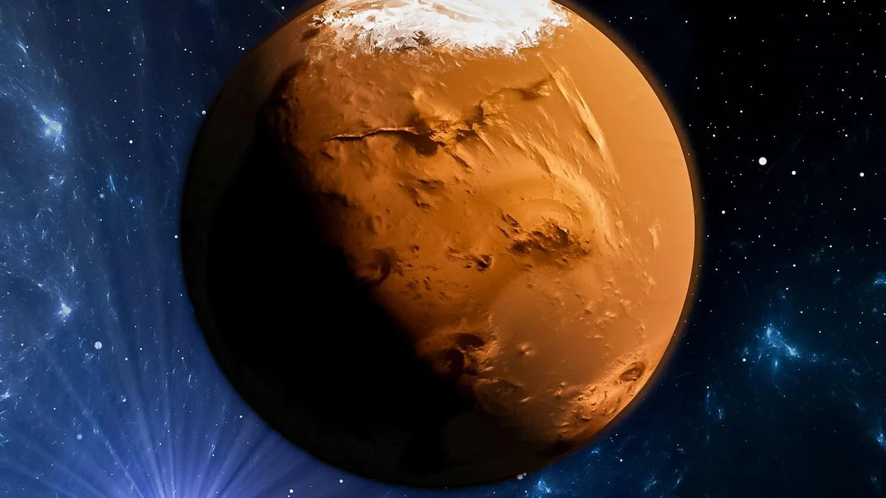
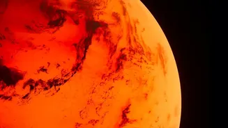
and atmospheric patterns of the Red Planet. This achievement not only provides a fresh perspective on the Martian climate but also showcases India's growing capabilities in planetary science. The study, published in the journal Current Science, charts how temperatures swing dramatically from as high as 27 degrees Celsius to a frigid -113 degrees Celsius. These maps reveal a world governed by a thin atmosphere and a wonky orbit, leading to a complex and dynamic weather system that researchers are now beginning to decode with unprecedented clarity.
The Power of an International Partnership
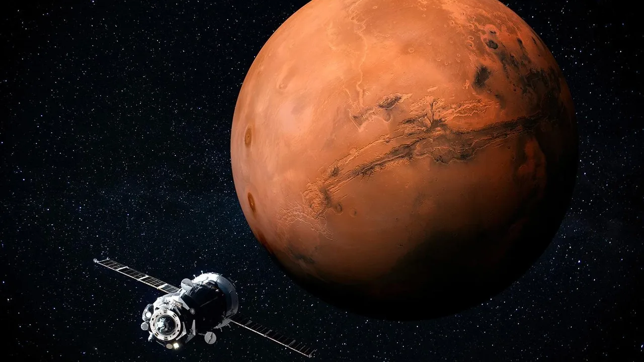
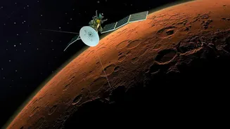
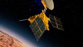
This milestone was made possible by leveraging data from an international partner. The information was gathered by the Emirates Mars Infrared Spectrometer (EMIRS), a key instrument aboard the UAE's Hope spacecraft. Launched in 2020, the Hope Probe was the Arab world's first interplanetary mission, designed specifically to provide the first complete picture of the Martian atmosphere throughout the day and across all seasons. Its unique, high orbit allows it to observe the entire planet at once, a feat that previous missions couldn't achieve. This global perspective is crucial for understanding weather as a planetary process. The data from EMIRS, which measures thermal infrared energy, provides a unique view into the lower and middle atmosphere, tracking heat, dust, and water ice. This Indian study is a prime example of how freely shared international data can accelerate scientific discovery.
Decoding the Red Planet's Weather
The PRL research team focused on two massive impact basins on Mars, Hellas and Argyre, to understand how topography influences the climate. They discovered large-scale temperature patterns, known as zonal waves, that ripple across the planet’s surface. These waves are a direct indicator of atmospheric circulation. The study found that the patterns differed significantly between the two basins, with Hellas showing more complex wave patterns depending on the season, highlighting the profound impact of geography on Martian weather. Furthermore, the real-world observations from EMIRS were found to be about 10 degrees warmer than what existing climate models predicted, a crucial finding that will help scientists refine their atmospheric models for greater accuracy.
Building on India's Mars Legacy
This research builds upon India's own celebrated history of Mars exploration. The Mars Orbiter Mission (MOM), or Mangalyaan, made India the first nation to successfully reach Martian orbit on its first attempt in 2014. While Mangalyaan has concluded its mission, Indian scientists continue to be at the forefront of Martian atmospheric analysis. The expertise gained from missions like MOM has positioned Indian institutions like PRL to take leading roles in interpreting complex datasets from global missions. Even before the Hope probe's launch, officials at the Indian Space Research Organisation (ISRO) noted that its data on atmospheric dust and gas loss would be a valuable input for planning India's future Mars missions.
Why This Climate Map Matters
Understanding the Martian climate is not just an academic exercise. A more accurate picture of its weather, dust storms, and seasonal changes is vital for the safety and success of future robotic and, eventually, human missions. Detailed climate maps help engineers design more robust spacecraft and plan landing and surface operations more effectively. By improving climate models, scientists can better predict the harsh conditions that await future explorers. Moreover, studying how Mars lost its once-thicker atmosphere and liquid water provides invaluable insights into planetary evolution, which can help us better understand the forces shaping Earth's own climate.