







India's New Geosynchronous Watcher
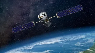
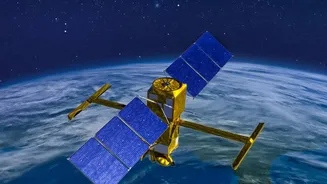
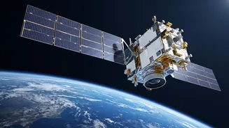
EOS-05, also known as GISAT-1A, is India’s first dedicated imaging satellite placed in a geosynchronous orbit. Unlike most Earth observation satellites that circle the planet in Low Earth Orbit (LEO) a few hundred kilometres up, EOS-05 is positioned approximately
36,000 kilometres away. This high altitude allows its orbital period to match Earth's rotation. In simple terms, it remains stationary over the same broad geographical region, enabling it to provide continuous observation of the Indian subcontinent. This capability of persistent monitoring is what sets it apart from its LEO counterparts, which only pass over a specific location at certain intervals.
The Evidence: A Game-Changer for Monitoring
The primary strength of EOS-05 is its ability to provide near real-time imagery of large areas at frequent intervals. ISRO reports suggest it can image the entire Indian landmass every 30 minutes. This is crucial for tracking rapidly evolving situations. For disaster management, it means authorities can monitor the development of cyclones, the spread of floodwaters, or the progression of forest fires almost as they happen, instead of waiting for another satellite pass. Beyond civilian uses, the satellite has significant strategic value, offering an uninterrupted watch over India's borders and maritime interests. Equipped with multispectral and hyperspectral cameras, it can gather data across different wavelengths, aiding applications from agriculture and water resource management to urban planning.
The Limit: A High-Altitude Trade-Off
While its high orbit provides persistence, it also comes with a fundamental trade-off: resolution. Imaging from 36,000 kilometres away means the level of detail is lower than that captured by LEO satellites, which fly much closer to the surface. For instance, some of EOS-05's sensors have a spatial resolution of around 42 metres, which is excellent for monitoring large-scale events but less suited for tasks requiring very high-resolution detail. Furthermore, as an optical imaging satellite, its vision can be obscured by cloud cover, a significant limitation during monsoon season or when tracking cyclones. It is a powerful tool, but not an all-seeing one.
From Satellite Data to Action on the Ground
Another crucial limitation is not in the satellite itself, but in the ecosystem that supports it. Capturing an image is only the first step. For the satellite to be effective, especially in emergencies, that data must be quickly downloaded, processed, analyzed, and delivered to decision-makers in a usable format. The real test of EOS-05's value will be the speed and efficiency of this entire chain—from the satellite's sensors to the district control room managing a disaster response. The technology in space is a massive achievement, but its impact depends entirely on the infrastructure and readiness on the ground to act on the information it provides.
A Resounding Success for a New Era
The successful launch and deployment of EOS-05 is a landmark moment for ISRO, particularly because it comes after a series of setbacks. Recent years saw launch failures that resulted in the loss of other Earth observation satellites, raising concerns about program delays. The predecessor to EOS-05 was itself lost during a launch failure, making this mission a critical test of the GSLV rocket and ISRO's operational capabilities. The success of this launch, therefore, serves as a major confidence booster, reaffirming India's capabilities in space and getting its ambitious observation satellite program back on track.