






A New Era of Seeing
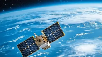
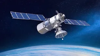
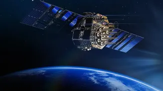
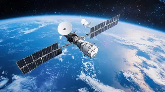
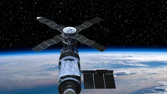
For decades, observing Earth from space was a costly, government-run affair. Today, the sector has been transformed by private companies launching constellations of smaller, more specialized satellites. This commercial boom, led by firms like Planet,
Maxar, and others, has democratized access to high-resolution satellite imagery. Instead of a few large, multi-purpose platforms, we now have fleets of satellites that can image the entire planet with unprecedented frequency. This shift means that detailed, up-to-date visual information about almost any point on Earth is now a commercially available product, creating a market projected to be worth billions.
AI Supercharges the Data
These satellites generate a staggering volume of data—far too much for humans to analyze alone. This is where artificial intelligence becomes the crucial partner. AI and machine learning algorithms are designed to sift through petabytes of imagery to detect patterns, identify objects, and track changes over time. Onboard AI can even allow satellites to analyze imagery in real-time, transmitting compact, actionable intelligence instead of raw data. These systems can spot deforestation in the Amazon, monitor urban expansion, track the health of agricultural crops, or even detect radio frequency signals from emergency beacons. This fusion of high-frequency imaging and automated analysis unlocks insights that were previously impossible to glean.
Unprecedented Benefits for Humanity
The positive applications of this technology are immense. For climate science, it provides vital data on melting glaciers, sea-level rise, and carbon emissions. In agriculture, it enables precision farming, helping to optimize irrigation and fertilizer use, thus boosting food security. When disaster strikes, real-time satellite imagery helps first responders map flood zones or assess wildfire damage, saving lives. Economically, this data is used for everything from monitoring global supply chains to ensuring that goods have been produced sustainably. It provides an objective, large-scale record of our planet that can inform better, more sustainable decisions across nearly every industry.
The Unseen Risks and Ethical Maze
However, this powerful new capability carries significant risks. The same technology used to monitor crop health can be used for pervasive surveillance by governments or private entities, raising profound privacy concerns. As one OECD report noted, the convergence of satellite data and AI raises new fears about national security and the ethical use of information. The technology is inherently dual-use; a satellite providing imagery for urban planning can also offer critical intelligence for military operations. There is also a growing hazard of digital disinformation, where misinterpreted or deliberately faked satellite imagery could be used to erode public trust.
The Governance Black Hole
The core problem is that technology has far outpaced the laws designed to govern it. The foundational Outer Space Treaty of 1967 was written when space was the exclusive domain of states, not private companies selling data on an open market. This framework holds nations responsible for the space activities of their private entities, but it provides no clear mechanism for regulating data access, privacy, or cross-border use. While spying from space is not explicitly illegal under international law, the commercialization of this capability creates a grey area. This raises urgent questions: Who is liable if commercial satellite data is used for malicious purposes? How can we ensure equitable access while preventing misuse? Nations and international bodies are now grappling with how to build a governance structure for this new reality.