






A Catastrophe in Minutes
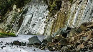
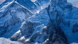
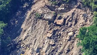
On August 26, 2026, a massive section of rock and glacier ice tore away from the Langtang Lirung peak in the Himalayas. The subsequent torrent of water, ice, and debris moved with terrifying speed, cascading through the Trishuli River corridor. Communities
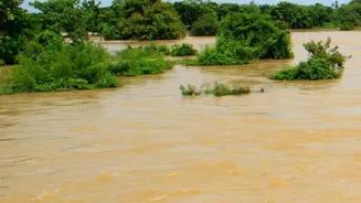
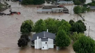
had almost no time to react as the slurry of rock and water destroyed homes, bridges, and critical hydropower infrastructure. In the aftermath, a grim picture emerged: more than 1,300 people were confirmed dead, with thousands more remaining missing in one of the region's worst disasters in recent memory. The event was not a typical flood caused by heavy rain, but a far more complex and violent event known as a cascading disaster.
The Scientific Verdict Is In
In the weeks that followed, scientists from the World Weather Attribution (WWA) initiative conducted a rapid analysis to understand the drivers of the collapse. Their report, released on September 17, 2026, concluded that while human-caused climate change was not the sole trigger, it played a critical role in preconditioning the mountain for failure. The researchers stressed that decades of warming had created the perfect storm of instability. They pointed to two key long-term changes: the thinning of glaciers and, crucially, the thawing of mountain permafrost. The report also noted that a major earthquake in 2015 may have previously weakened the rock face, making it more susceptible to these climate-driven pressures.
How Warming Unlocks a Mountain's Fury
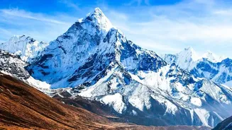
To understand what happened, it helps to think of permafrost—permanently frozen ground—as the glue holding steep, fractured mountain slopes together. For decades, this natural cement has been melting. The WWA study found that the freezing line in the Himalayas is moving upward by approximately 100 metres every decade. As higher altitudes are exposed to above-freezing temperatures for longer periods, this crucial glue thaws, weakening the rock and making catastrophic landslides more likely. At the same time, the glaciers that sit atop these peaks have been rapidly thinning and retreating. This process not only adds meltwater that can lubricate potential rockslides but also changes the pressure dynamics on the slope, further destabilizing the land itself.
A Threat Beyond Nepal's Borders
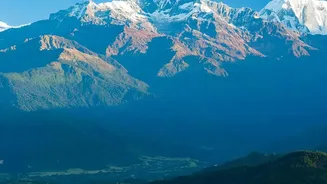
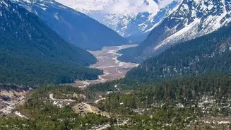
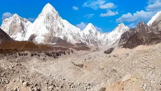
The events at Langtang Lirung are a stark warning for the entire Himalayan region, which is warming at roughly twice the global average. The Himalayas are often called the 'Water Towers of Asia,' feeding ten major river systems that over a billion people in countries like India, China, and Pakistan depend on. The same processes of melting glaciers and thawing permafrost are making disasters like Glacial Lake Outburst Floods (GLOFs) more frequent and intense across the mountain range. As glaciers retreat, they leave behind vast lakes dammed by unstable walls of rock and debris. A landslide into one of these lakes, or the failure of a dam, can unleash devastating floods on downstream communities hundreds of kilometres away, threatening lives, agriculture, and economies across South Asia.
A Race Against an Unpredictable Future
One of the most frightening aspects of this new era of climate-driven geological hazards is their unpredictability. Unlike floods from rainfall, which can often be forecast days in advance, a catastrophic slope failure happens with little to no warning, overwhelming even the best-prepared disaster response plans. Scientists can monitor the long-term changes, but predicting the exact moment a mountain will give way remains nearly impossible. This places mountain communities in a state of constant, low-grade anxiety and forces a difficult conversation about managed retreat from the most high-risk zones. The disaster in Nepal highlights a critical gap in preparedness, showing that conventional flood warning systems are not enough to protect against these complex, cascading events.