



An Inland Tsunami
On the morning of August 26, 2026, a wall of water and debris surged down the Bhote Koshi river system, originating near the Nepal-Tibet border. The flood struck with shocking speed, with water levels in some parts of the Trishuli River rising by as much
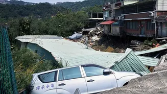
as nine metres in just 30 minutes. Entire settlements like Timure and Syaphrubesi were inundated, bridges and power plants were swept away, and a vital border crossing port was destroyed. The disaster claimed hundreds of lives in both Nepal and China, with thousands more reported missing, leaving a trail of devastation that extended for kilometres downstream.
More Than Just Rain
While Nepal was experiencing a period of heavy monsoon rain, authorities and scientists quickly suspected a more complex cause. An initial report of a magnitude 4.4 earthquake was soon re-evaluated. The U.S. Geological Survey later concluded that the seismic event, registering as high as a magnitude 5.2, was not the cause of the disaster, but rather a consequence of it. The real culprit, according to an international team of scientists now studying satellite imagery and seismic data, was a massive high-altitude collapse.
Anatomy of a Collapse
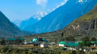
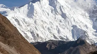
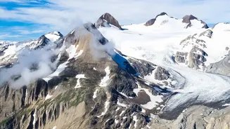
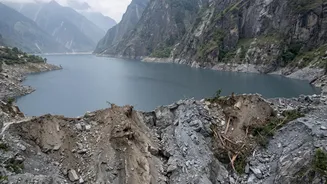
High on Langtang Lirung mountain, at an elevation of roughly 5,200 metres, a huge section of a glacier, along with the bedrock beneath it, gave way. This mixture of ice and rock, estimated to be a chunk 0.2 square kilometres in size, avalanched down a staggering 1,200 metres into the valley below. The immense force of this collapse transformed into a fast-moving, fluid debris flow. Scientists are investigating the exact sequence, but the leading theory is that this torrent of rock and ice temporarily blocked the Lhende Khola river, a tributary of the Bhote Koshi. Water built up rapidly behind this unstable natural dam until it burst, releasing an even more powerful and destructive surge downstream.
The Climate Connection
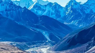
While it's difficult to attribute any single event directly to climate change, experts agree that global warming is making such disasters more likely. The Hindu Kush-Himalayan region, often called the “Third Pole,” is warming nearly twice as fast as the global average. Himalayan glaciers have been melting 65% faster since 2010 than in the previous decade. This rapid melting does two dangerous things: it can create and expand unstable glacial lakes (a phenomenon known as GLOFs), and it thaws permafrost, the frozen ground that acts like glue, holding steep mountain slopes together. As the permafrost thaws, rock and ice once held stable can catastrophically fail, as appears to have happened in this case.
A Warning for the Region
This event is a grim reminder of the cascading hazards facing the entire Himalayan region. Similar disasters, such as the 2021 Chamoli flood in India, have followed a similar pattern of ice and rock avalanches. The Himalayan river systems, including the Ganges, Indus, and Brahmaputra, are fed by these glaciers and provide water for nearly two billion people. As the glaciers retreat and the mountains become less stable, the risk of sudden, unpredictable floods increases, threatening lives, livelihoods, and critical infrastructure like hydropower dams far downstream. Experts warn that the increasing frequency of these events necessitates better cross-border early warning systems and a fundamental rethinking of disaster preparedness in vulnerable mountain regions.