




A New Watchtower in the Sky
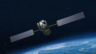
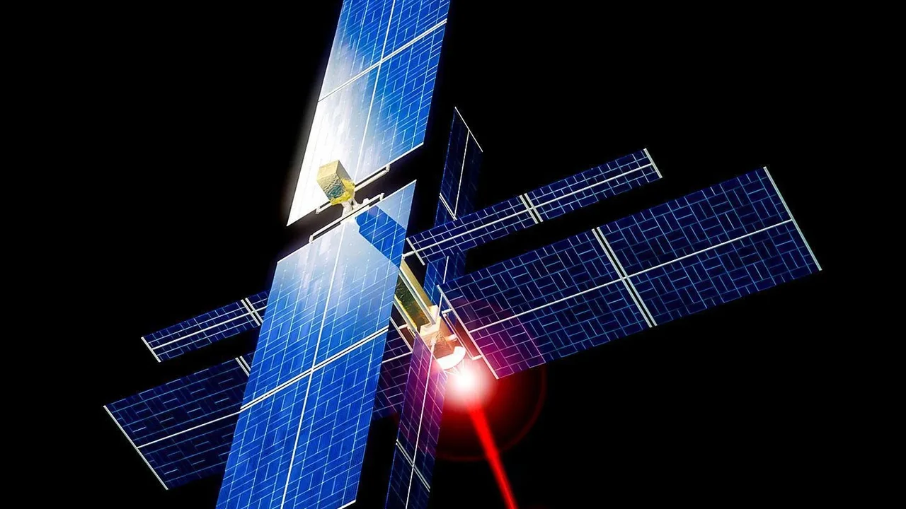
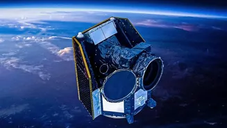
The FireSat constellation is a specialised fleet of satellites designed for one primary purpose: to spot wildfires faster than ever before. The first three operational satellites successfully reached orbit in July 2026, joining a prototype that has been
testing the system since March 2025. This initiative is the result of a unique collaboration between the nonprofit Earth Fire Alliance, the space systems company Muon Space, and tech giant Google. Unlike many existing Earth observation satellites that serve multiple purposes, FireSat is purpose-built to hunt for the thermal signature of a new blaze.
The Critical Advantage of Speed
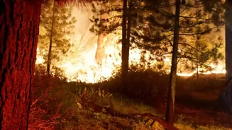
The main problem with current satellite detection systems is time. Geostationary satellites like GOES can offer frequent updates but have lower resolution, while higher-resolution polar-orbiting satellites like MODIS and VIIRS may only pass over a specific area a few times a day. This creates dangerous blind spots, particularly in the afternoon when fire risk is highest. A fire can grow from a small, manageable flame to an unstoppable inferno in the hours it might take for a satellite to notice it. The goal of the FireSat system is to shrink that detection window dramatically. Once the full constellation of approximately 50 satellites is operational, it aims to provide updates for any point on Earth every 20 minutes.
How the Technology Works
Each FireSat is equipped with a sophisticated 6-channel multispectral infrared radiometer. Think of it as a highly advanced heat-sensing camera specifically tuned to find fires. This instrument can detect hotspots as small as 5x5 meters—about the size of a large car park space. Onboard artificial intelligence helps to process the imagery in near real-time, cross-referencing data with historical images and weather patterns to distinguish a new wildfire from other heat sources and reduce false alarms. This allows it to spot even small or cooler, smouldering fires that other systems might miss.
From Detection to Action
Spotting a fire is only half the battle. The true transformation comes from getting that information to firefighters on the ground fast enough for them to act. The FireSat system is designed to deliver alerts within minutes of detection. This capability could fundamentally change wildfire response. Instead of dispatching crews to a fire that is already several acres in size, responders can be sent to a fire that is still small enough to be contained quickly. The system not only detects ignition points but can also provide crucial data on how a fire is spreading, its intensity, and its direction, giving incident commanders invaluable intelligence for planning their attack and ensuring the safety of their crews.
The Road to a Global Shield
The three satellites launched in July 2026 mark the beginning of FireSat's Initial Operational Capability. After a calibration and testing period of about three months, data will begin flowing to early adopters among fire agencies and scientists. By the end of 2026, the system will deliver data at least twice daily for the world's most fire-prone regions. The plan is to continue adding satellites to the constellation over the next few years, progressively shortening the revisit time—the time between satellite passes—to one hour by 2029 and an ultimate goal of 20 minutes or less in the early 2030s. While FireSat is a major leap forward, other companies like Germany's OroraTech are also launching their own dedicated constellations, creating a new ecosystem of space-based tools for fighting fires.