






A New Era of Seeing
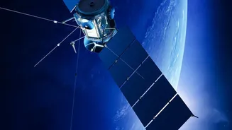
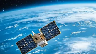
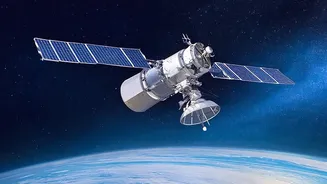
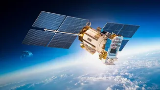
Not long ago, obtaining detailed satellite imagery was the exclusive domain of superpowers. Today, a new space race is underway, driven by private companies. Hundreds of sophisticated commercial Earth observation (EO) satellites now circle the globe,
operated by a growing number of private firms. These constellations are capable of capturing vast stretches of the planet's surface with stunning frequency and detail. The resolution of commercially available imagery has sharpened dramatically, with some systems able to distinguish objects as small as a mailbox. This deluge of data, far too vast for human analysts to process alone, has unlocked a new frontier of insight, but it is the fusion with artificial intelligence that has truly changed the game.
The Power of AI Analysis
If private satellites are the eyes, artificial intelligence is the brain. AI algorithms are the engine that makes sense of the petabytes of data streaming from orbit every day. These systems can be trained to detect patterns, identify objects, and flag changes at a scale and speed that is simply superhuman. For instance, AI can automatically monitor deforestation in the Amazon, track the real-time flow of shipping traffic, detect illegal construction, or assess the damage in a disaster zone moments after an earthquake. This transforms raw pixels into actionable intelligence, providing crucial information for everything from climate science and agricultural planning to humanitarian aid and financial markets.
Unprecedented Benefits, Unsettling Risks
The applications for this technology are profoundly beneficial. Environmental groups can use it to hold polluters accountable, farmers can optimize crop yields, and emergency services can direct resources more effectively during crises. However, this same power creates significant risks. The ability to monitor locations and even analyze behavior raises deep concerns about privacy and consent. Furthermore, the data can be weaponized for corporate espionage, used by hedge funds to gain an unfair market edge, or exploited by authoritarian regimes for surveillance. An even greater concern is the potential for AI models to inherit and amplify biases, leading to discriminatory outcomes if, for example, they are trained on data from only certain parts of the world.
A Global Governance Gap
The core of the problem is that the technology is advancing far faster than the laws designed to govern it. The foundational legal framework for space, the Outer Space Treaty of 1967, was written decades before the commercialization of space at this scale. It establishes that space is free for exploration and use by all, but provides little specific guidance on private remote sensing. A subsequent set of non-binding UN principles from 1986 suggested that sensing should not be detrimental to the sensed state, but how this applies to private companies selling data on a global market is unclear. This has created a regulatory vacuum. There is no clear international body responsible for licensing, data rights, or liability, leaving a patchwork of national laws that are often inconsistent and insufficient for an inherently global technology.
The Search for Rules of the Road
The international community is grappling with how to close this governance gap. Discussions are ongoing within forums like the UN's Committee on the Peaceful Uses of Outer Space (COPUOS), but progress is slow. Experts are debating a range of solutions, from updating existing treaties to creating entirely new frameworks for data ethics and AI in space. Key questions remain: Who is liable if inaccurate satellite data leads to financial loss or a mistaken military strike? How can we ensure data access is equitable and not monopolized by a few wealthy nations or corporations? And how do we balance the immense commercial and scientific opportunities with fundamental rights to privacy and security? Some nations have their own licensing regimes, but these are national solutions to a global challenge.