



Our Skies Are Slowing Down
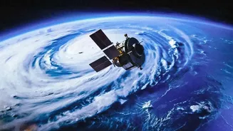
You can think of weather systems as travellers moving across the globe, driven by large-scale atmospheric currents like the jet stream. However, a warming world is changing their travel plans. Scientific studies show that weather patterns, especially
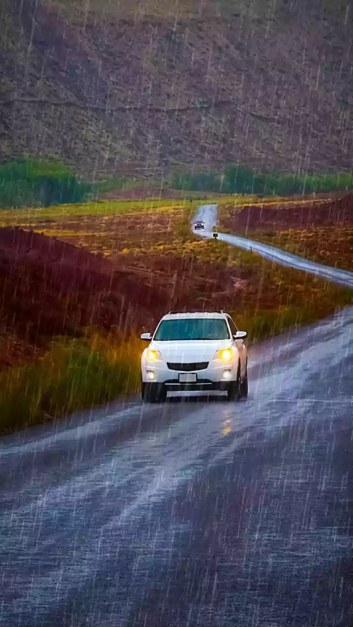
the large, moisture-filled systems that bring rain, are becoming more persistent. They are moving more slowly, meaning they linger over a single area for longer. This slowdown is a critical shift. Instead of a storm passing over a region in a day, it might now stall for two or three, unloading its moisture in one concentrated location. This persistence is a key factor turning ordinary rainfall into a severe weather event.
The Science of a Saturated Sky
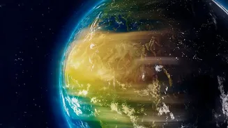
There are two fundamental physical principles at play here. First, a warmer atmosphere can hold more moisture. For every degree Celsius of warming, the air can hold about 7% more water vapour. This means that when a storm system does form, it is 'supercharged' with more water than it would have been in a cooler climate. The second factor is a potential weakening of the large-scale atmospheric circulation, such as the jet stream, which is powered by temperature differences between the poles and the equator. As the Arctic warms faster than the rest of the planet, this temperature difference shrinks, potentially slowing down the winds that steer weather systems eastward. A weaker circulation means these moisture-laden storms are not pushed along as quickly, allowing them to linger and dump torrential rain.
From Drizzle to Deluge
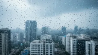
The consequences of these slower, wetter storms are profound and are already being felt globally. The primary impact is a dramatic increase in the risk of flooding. When rain falls relentlessly over the same area for days, the ground becomes saturated and can no longer absorb the water. Rivers and drainage systems are quickly overwhelmed, leading to flash floods and widespread waterlogging, especially in urban areas with lots of concrete and limited green space. This isn't just about more rain overall, but about the rain becoming more concentrated in intense, prolonged bursts. This shift also increases the risk of landslides in hilly regions, as saturated soil loses its stability. The pattern is clear: a longer-lasting rain system turns a beneficial shower into a destructive deluge.
What This Means for India's Monsoon
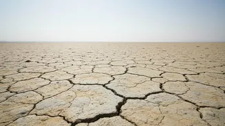
For India, these changes have particularly serious implications for the all-important monsoon. The monsoon is a vast, seasonal weather system, and its behaviour is becoming more erratic. While global warming is projected to delay the onset of seasonal rains over land, it is also making them more intense when they arrive. Scientists are observing a trend where the monsoon features long dry spells punctuated by short, extremely intense periods of rainfall. This variability is dangerous. Prolonged dry spells can harm agriculture, while the subsequent downpours are too intense for the dry ground to absorb, leading to runoff and flooding instead of replenishing groundwater. Furthermore, the frequency of atmospheric rivers—long, narrow bands of concentrated moisture—is expected to increase significantly over the North Indian Ocean, potentially doubling or tripling, leading to more extreme rain events.