





A Deluge at the Roof of the World
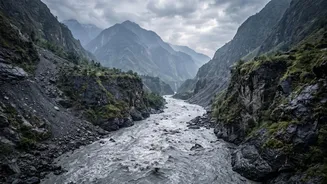
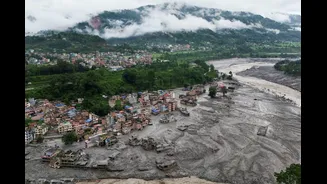
On August 26, 2026, a sudden wall of water, mud, and debris surged through the Bhote Koshi river corridor, engulfing settlements and infrastructure near the Nepal-China border. The flash flood's power was immense, destroying bridges, hydropower projects,
and parts of the main trade route connecting the two nations. Early reports suggested an earthquake might have been the cause, as a seismic event was registered around the same time. However, the U.S. Geological Survey later revised its assessment, clarifying that the tremor was not a tectonic earthquake but was instead generated by a massive landslide and glacial collapse. This shifted the focus of investigation from below the ground to high up in the snow-covered peaks.
From Ice Fall to River Blockage
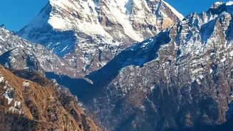
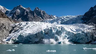
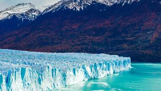
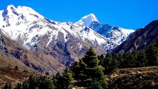
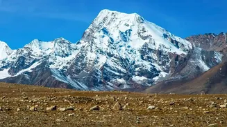
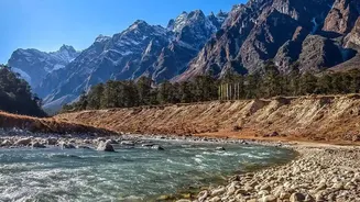
The leading theory among scientists is that the catastrophe began with a massive ice-rock avalanche. A huge section of a glacier, combined with rock, is believed to have broken away from a high-altitude peak on the Nepalese side of the border. This immense volume of material cascaded down into the narrow valley of the Lhende Khola, a key tributary of the Bhote Koshi river. The debris did not just enter the river; it completely blocked it, forming a temporary and highly unstable dam. Satellite imagery from before and after the event confirms the formation of this blockage and a temporary lake that pooled behind it, setting the stage for the second part of the disaster.
The Science of a Cascading Disaster
An avalanche-induced flood is a type of 'cascading hazard,' where one event triggers a chain of others. Once the river was dammed by ice and rock, water levels behind the blockage rose rapidly. This natural dam, made of loose and unstable material, was not built to last. The immense pressure from the growing lake eventually caused the dam to breach. The result was a sudden, explosive release of the impounded water, which mixed with the loose debris from the avalanche to form a thick, powerful slurry. This debris-laden flow moves with incredible force, far more destructive than a clear-water flood, and explains the scale of devastation seen downstream.
A Known Danger in a Warming Himalaya
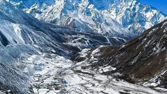
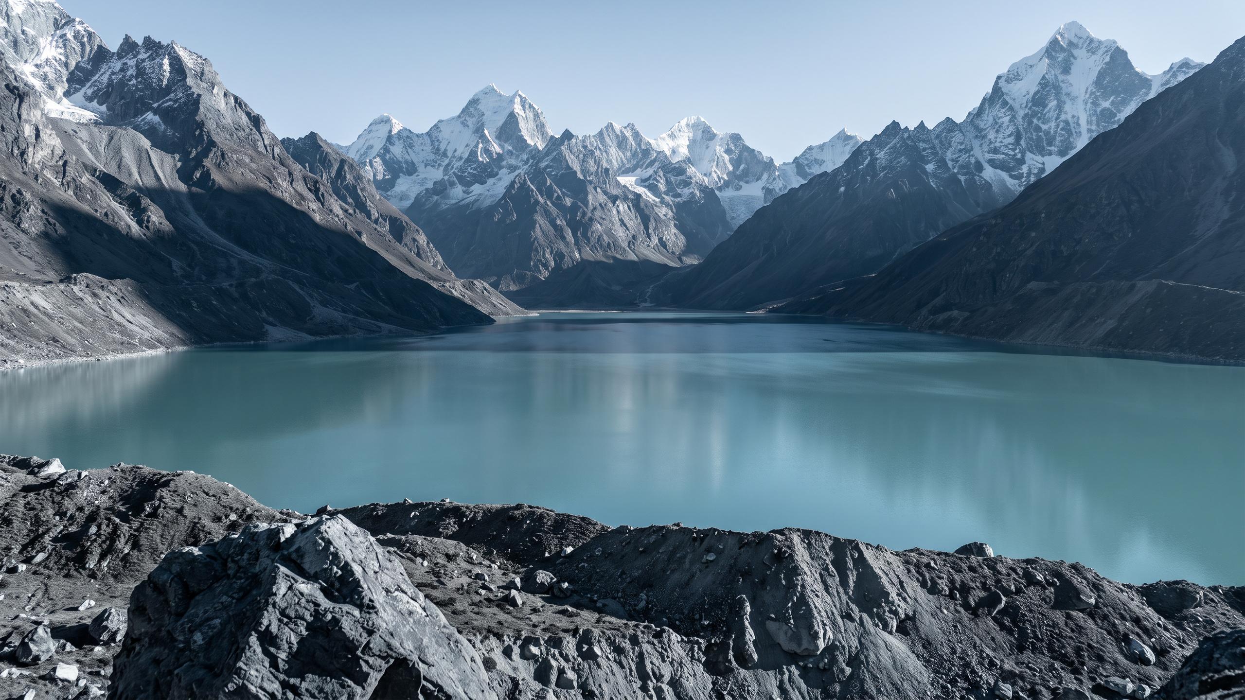
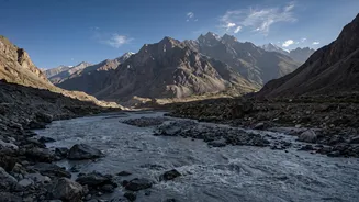
While this specific event was triggered by an avalanche, it highlights a broader and growing danger in the region: Glacial Lake Outburst Floods (GLOFs). The Himalayas are warming faster than the global average, causing glaciers to melt at an alarming rate. This meltwater forms thousands of new glacial lakes, many of which are held back by unstable moraine dams. A recent inventory by ICIMOD identified 47 potentially dangerous glacial lakes across the river basins of Nepal, with many located in Tibet at the headwaters of rivers that flow into Nepal and eventually India. These transboundary lakes represent a significant blind spot, as a disaster can originate in one country and devastate another with little warning.
The Urgent Need for Cross-Border Warnings
This disaster underscores the critical challenge of managing transboundary risks. Nepal's flood monitoring systems are most effective once a river has entered its territory. However, when the trigger event—be it an avalanche or a GLOF—happens upstream in China's Tibet Autonomous Region, there is precious little time for downstream communities to react. While Nepal and China have been developing a cross-border monitoring system, this incident shows the urgent need to accelerate and expand such cooperation. For India, the stakes are also high. Major river systems like the Karnali (known as the Ghaghara in India) and the Koshi originate in this volatile region, meaning a disaster in the high Himalayas can have consequences that ripple across the plains of Uttar Pradesh and Bihar.