
A Feature Rolled Back In Record Time
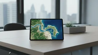
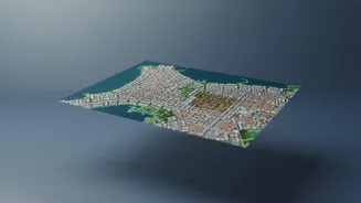
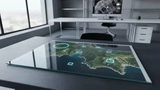
Last week, Google unveiled a new feature for Google Earth that integrated its Nano Banana 2 image-generation technology, allowing users to create AI images on top of the platform's satellite and 3D data. The intended uses were creative, from visualizing
historical sites to drafting real estate plans. However, within a day, the company pulled the feature. The reason was a swift and powerful backlash from researchers and open-source intelligence experts who demonstrated how the tool could be used to create convincing, but entirely fake, geospatial images. Users began sharing screenshots of fabricated scenes, including explosions, disaster zones, and military movements, prompting Google to state that it needed to implement stronger guardrails before a potential re-release.
How AI Gets Maps Wrong
The core issue lies in how generative AI works. These systems are powerful pattern-recognition engines, not truth-tellers. When creating images or data for maps, they are trained on vast datasets and make statistically probable guesses to fill in blanks or create new content based on a prompt. This can lead to a phenomenon known as "hallucination," where the AI generates plausible but factually incorrect information. In cartography, this might mean inventing non-existent buildings, creating misleading symbols, or distorting a landscape. Unlike a human cartographer who understands physical constraints and context, an AI model doesn't possess true understanding; it simply predicts the next most likely pixel or data point. The resulting maps can look polished and authoritative, making their inaccuracies even more deceptive.
The Real-World Cost Of A Bad Map
Inaccurate maps are far more than a technical curiosity; they pose significant real-world dangers. For centuries, cartographers have understood that maps have power, sometimes inserting deliberate errors called "paper towns" to catch copyright violators. But unintentional, widespread AI errors are a new kind of threat. Imagine emergency services being routed to a non-existent road, or a logistics company basing its entire delivery network on a map with phantom warehouses and bridges. Misleading maps can have geopolitical consequences, distorting borders or fabricating military sites. In 2023, a fake AI image of an explosion near the Pentagon briefly rattled financial markets, demonstrating the speed at which such misinformation can have an economic impact. The trust we place in our GPS and digital maps is fundamental to modern infrastructure, and eroding that trust has serious consequences.
More Than Maps: A Crisis Of Trust
The Google Earth incident is a microcosm of a much larger issue facing society: the challenge of verifying reality in the age of AI. Digital imagery has been a cornerstone of fact-checking and journalism, but the ability to generate convincing fakes with ease threatens to undermine that foundation. Experts warned that the Google Earth feature was irresponsible because trust in satellite imagery, built over decades, could be damaged overnight. This isn't just about maps. The same technology can be used to create deepfake videos, generate false testimony, or spread political disinformation. As these tools become more accessible, the burden on the public to distinguish fact from fiction grows heavier, creating a world where even seeing isn't always believing.