



The Problem of Scale
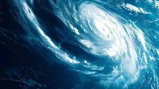
When the India Meteorological Department (IMD) issues a forecast for a district or state, it's operating on a synoptic scale, looking at large weather systems moving over hundreds of kilometres. These are the familiar monsoon depressions and low-pressure
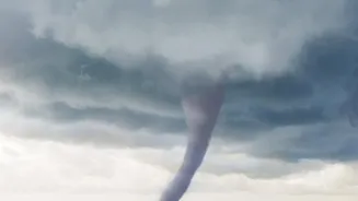
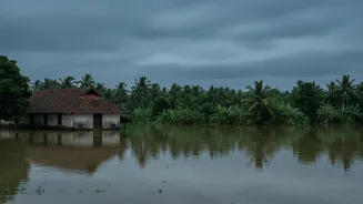
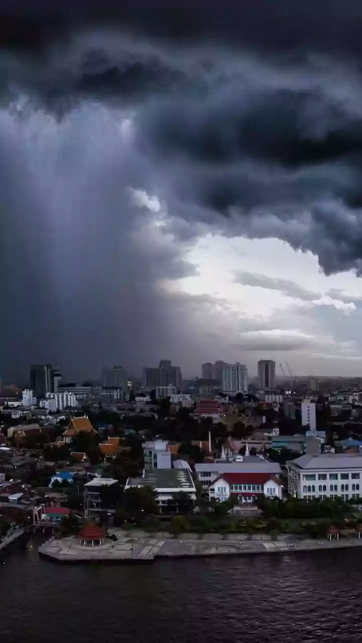
areas that define our rainy season. For predicting widespread, steady rain over a large area, these models are increasingly accurate. However, the devastating floods and landslides in Kerala are often not caused by these large-scale events alone. Instead, they are the result of mesoscale events—intense, localised weather phenomena, such as cloudbursts, that occur over a much smaller area, perhaps just a few dozen square kilometres. A forecast might correctly predict a day of 'moderate to heavy rain' for a whole district, but miss the fact that one specific valley or hillside is about to receive an entire month's worth of that rain in just a few hours.
Kerala’s Unique Mountain Challenge
Kerala's geography, dominated by the Western Ghats, plays a crucial role in this deadly equation. As moisture-laden winds sweep in from the Arabian Sea, they are forced to rise by the mountain range. This process, known as orographic lift, causes the air to cool and dump its moisture in concentrated bursts on the windward, or western, side. This can trigger the rapid development of towering, deep convective clouds, which are essentially engines for extreme downpours. These clouds form and unleash their contents so quickly—sometimes in less than six hours—that traditional forecasting models, which run updates every few hours, can't keep up. The mountains that give Kerala its lush beauty also create the perfect conditions for sudden, hard-to-predict deluges.
The Limits of Our Technology
Forecasting isn't just about models; it relies on a constant feed of real-world data from weather stations and Doppler radars. While India has made great strides, there are still gaps. Kerala currently relies on two main Doppler radars, which are crucial for detecting the formation and movement of storm clouds in real-time. However, for a state with such complex terrain, this network is considered inadequate by many experts to provide the hyper-local resolution needed to catch every rapidly developing storm cell. These radars are essential for 'nowcasting'—predicting weather for the next few hours, which is critical for issuing flash flood warnings. Without a denser network, small but violent storm systems can slip through the cracks, unseen until it's too late.
A Warmer, Wetter, Wilder Climate
Overlaying all of this is the undeniable influence of climate change. A warming Arabian Sea and a warmer atmosphere mean the air can hold more moisture. This doesn't just mean more rain overall; it means the rain is more likely to fall in extreme, short-duration bursts. Studies show that while Kerala's average annual rainfall might not be increasing dramatically, the frequency of extremely heavy rainfall events is. The very nature of the clouds seems to be changing, with a trend towards more convective (intense and vertical) systems rather than the traditional stratiform (layered and steady) clouds of the monsoon. This shift makes the weather more volatile and the forecaster's job exponentially harder, turning once-rare events into an annual threat.