





Decoding India's New Eye in the Sky
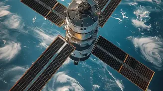
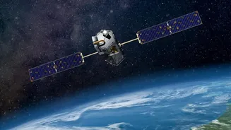
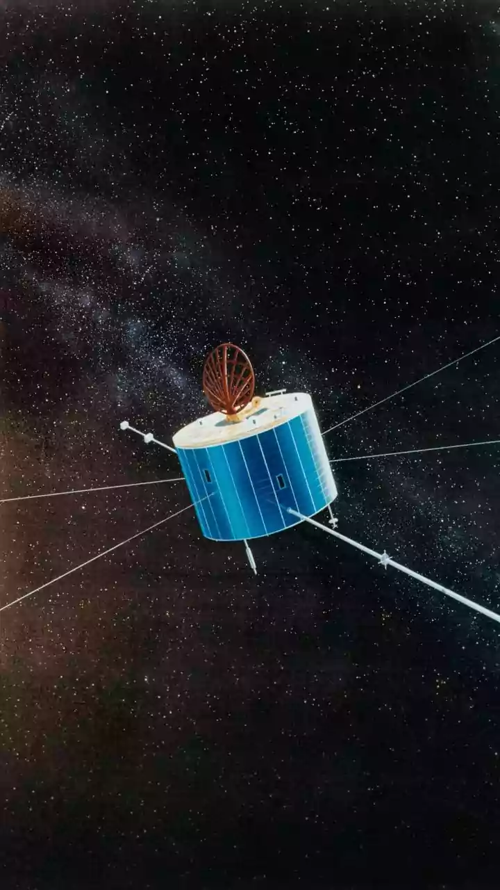
EOS-05 is a state-of-the-art Earth Observation Satellite launched by the Indian Space Research Organisation (ISRO). Unlike many other satellites that orbit closer to the planet, EOS-05 operates from a geosynchronous orbit, approximately 36,000 kilometres
above the Earth. This high altitude allows it to constantly view a large, fixed portion of the globe, focusing specifically on the Indian subcontinent and surrounding regions. Think of it as a dedicated, high-powered CCTV camera for India, but one that provides far more than just pictures. Dubbed the “Eye in the Sky,” its primary mission is to provide continuous, real-time imagery, which is a significant upgrade from satellites that only pass over a location periodically.
The Geosynchronous Advantage
The key update that EOS-05 brings is its unique orbital position. Most Earth observation satellites are in Low Earth Orbit (LEO), meaning they circle the planet multiple times a day and can only capture images of a specific area when they pass over it. EOS-05, being in a geosynchronous orbit, matches the Earth’s rotation. This allows it to hover over the same geographical area continuously. The 'update' for India is the shift from periodic snapshots to constant monitoring. This capability to observe a developing situation, like a cyclone forming or floodwaters rising, without any gaps in coverage, is a strategic game-changer for the nation. Following its launch on September 4, 2026, ISRO successfully completed a series of orbit-raising manoeuvres to position the satellite in its final operational orbit.
A Game-Changer for Disaster Management
Perhaps the most critical takeaway for the public is EOS-05's role in managing natural disasters. India's geography makes it vulnerable to cyclones, floods, and other calamities. The satellite is designed to provide near real-time imaging of large areas, which is invaluable during such events. It can track the development of cyclones, monitor the extent of flooding, and help identify areas affected by forest fires or cloudbursts with incredible frequency. Authorities can get updated imagery of a specific region every five minutes and the entire country every half-hour. This steady stream of data allows for quicker, more informed decisions, helping to evacuate people, deploy resources effectively, and minimize loss of life and property.
Transforming Agriculture and Environmental Monitoring
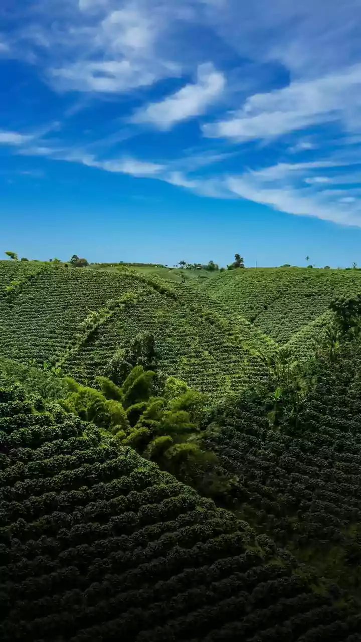
Beyond emergencies, EOS-05 has profound implications for India's agricultural sector. The satellite's advanced imaging sensors can monitor crop health, assess soil moisture, and estimate agricultural output over vast areas. This information is crucial for formulating agricultural policies, forecasting yields, and ensuring food security. It will also aid in environmental assessment, such as monitoring forest cover, tracking changes in water bodies, and managing natural resources more sustainably. While primarily for civilian use, this technology also provides a significant strategic advantage. The ability to conduct continuous surveillance over land and sea borders enhances national security by providing timely intelligence, regardless of weather conditions.