




A Foundation of Fragility
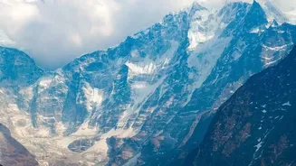
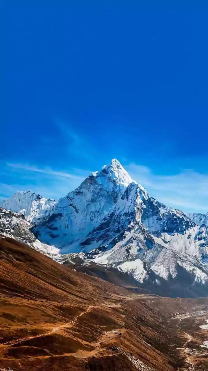
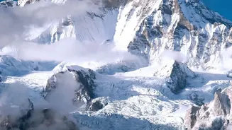
The Himalayas are the world's youngest and most geologically active mountain range. Formed by the ongoing collision of the Indian and Eurasian tectonic plates, these mountains are inherently unstable. The steep, narrow river valleys are carved by powerful
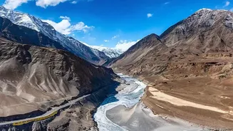
water flows that relentlessly erode the weak rock, making them prone to landslides even without other triggers. These valleys act as natural funnels. When a disaster strikes high in the mountains, the debris, water, and ice are channelled downwards with immense force and speed, leaving little time for warning. This fundamental instability is the bedrock upon which recent emergencies have been built.
The Human Fingerprint: Development in the Danger Zone
Compounding the natural risks is the pressure of human development. Hydropower projects, road widening, and unplanned construction of towns and hotels have significantly increased the region's vulnerability. Many structures are built on unstable slopes or directly on river floodplains, encroaching on the very space rivers need to swell during floods. The construction of dams and tunnels, often involving blasting, can further destabilise fragile hillsides. When disaster strikes, this infrastructure not only suffers immense damage but can also worsen it. Dam collapses, for example, release catastrophic volumes of water downstream, amplifying the initial event.
Uttarakhand's Twin Tragedies: Kedarnath and Chamoli
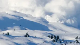
Two major disasters in Uttarakhand highlight different facets of this crisis. The 2013 Kedarnath tragedy was a case of extreme weather meeting a vulnerable valley. Unprecedented monsoon rains caused the Chorabari glacial lake to burst its banks, sending a devastating flood down the Mandakini river that washed away entire towns. In February 2021, the Chamoli district disaster was different. It was not directly caused by rainfall but by a massive rock and ice avalanche from Ronti Peak. The mass of debris transformed into a fast-moving slurry that obliterated two hydropower projects in the Rishiganga and Dhauliganga valleys, demonstrating that threats can emerge from the mountain peaks themselves, not just from rivers and lakes.
Sikkim's GLOF and Himachal's Monsoon Fury
The threat of Glacial Lake Outburst Floods (GLOFs) was starkly illustrated in Sikkim in October 2023. The South Lhonak glacial lake breached, possibly after a landslide, sending a torrent down the Teesta River. The flood overwhelmed and destroyed the Teesta III dam at Chungthang, leading to catastrophic downstream damage and loss of life. That same year, Himachal Pradesh witnessed the fury of an intensified monsoon. The Beas River valley, particularly around Kullu and Manali, saw extensive destruction as the river reclaimed its floodplain, sweeping away roads, hotels, and bridges built too close to its banks.
The Slow and Sudden: Joshimath and Kinnaur
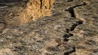
Not all disasters are sudden torrents. In Joshimath, Uttarakhand, a slow-moving crisis unfolded as the town began sinking. This land subsidence is linked to its perilous location on ancient landslide debris at the confluence of the Dhauliganga and Alaknanda rivers, exacerbated by decades of unplanned construction and alleged damage from hydropower tunnelling. Meanwhile, the Sutlej river valley in Himachal's Kinnaur district regularly demonstrates the ever-present danger of landslides. Events like the fatal 2021 landslide in Sangla Valley, where boulders crashed onto a tourist vehicle, and frequent highway blockages highlight the risks of cutting transport routes through these unstable rock zones.