




The Limits of the Ground View
For decades, monitoring India's vast water resources has been a painstaking, ground-up effort. It involves sending teams to manually measure water levels in wells, check gauges on riverbanks, and take physical samples from lakes and reservoirs. While
essential, these methods have significant limitations. They are often costly, labour-intensive, and can only provide a snapshot of a specific location at a single moment. Vast, remote, or inaccessible areas are frequently left unmonitored. This means that slow, large-scale changes, like the gradual depletion of an entire aquifer system spanning several states, can go under-diagnosed until the crisis is already severe. Ground-based monitoring, in essence, gives us detailed but disconnected dots, making it difficult to see the full picture.
An Eye in the Sky: How Satellites See Water
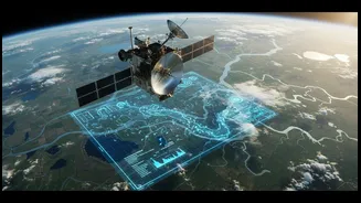
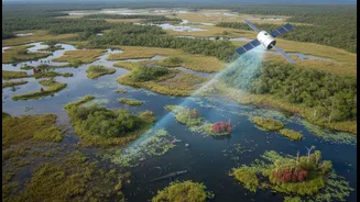
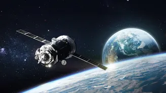
Enter satellite technology, which is revolutionising our ability to track water from space. Missions like NASA's Gravity Recovery and Climate Experiment (GRACE) and the Surface Water and Ocean Topography (SWOT) satellite are game-changers. The GRACE satellites work by 'weighing' water from orbit. Flying in tandem, they measure tiny changes in Earth's gravity field. Since water has mass, a loss of groundwater in a region slightly weakens its gravitational pull, which the satellites can detect. This allows scientists to track large-scale groundwater depletion or recharge over entire regions, something impossible with ground wells alone. The SWOT satellite, a joint mission involving NASA and the French space agency, uses advanced radar to measure the height of nearly all water on Earth's surface, providing high-definition data on rivers, lakes, and reservoirs.
What Satellites Reveal
The key advantage of satellites is their ability to provide a consistent, wide-area view over time. This 'revisit' capability is what uncovers trends that ground teams might miss. For example, GRACE data has been crucial in revealing the alarming rate of groundwater depletion in northwest India, confirming that agricultural water use is draining aquifers faster than they can be replenished. This isn't just a single well running dry; it's a regional crisis made visible from space. Satellites can also map the full extent of a flood in near real-time, even under cloud cover, allowing for more effective disaster response. They can detect changes in water quality by analysing how light reflects off the water's surface, helping to spot algal blooms or high sediment loads from pollution sources. This provides a synoptic view that connects cause and effect across entire river basins.
The Indian Context: A Partnership for the Future
Recognising this potential, India is actively integrating satellite technology into its water management strategy. The Indian Space Research Organisation (ISRO) has entered into agreements with the Ministry of Jal Shakti to use its advanced satellites for water resource assessment. ISRO's own satellites, like Cartosat-3 and RISAT-1A, provide high-resolution imagery to monitor surface water bodies, identify pollution sources, and map areas vulnerable to drought and floods. This data is invaluable for national initiatives like the Namami Gange programme, which uses ISRO's Bhuvan Ganga portal to monitor the river's health in real-time. Furthermore, Indian researchers are working to combine data from global missions like SWOT and GRACE to better understand the total water storage in crucial basins like the Ganga-Brahmaputra. Some startups are even using space tech to pinpoint underground water sources and detect leaks in pipelines with high accuracy.