






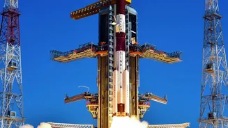
What is NavIC and Why Does it Matter?
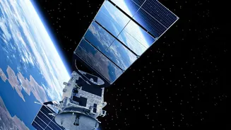
Navigation with Indian Constellation (NavIC) is the operational name for the Indian Regional Navigation Satellite System (IRNSS). Developed by the Indian Space Research Organisation (ISRO), it was designed to provide the nation with strategic autonomy
in positioning, navigation, and timing (PNT) services. The goal was to end India's reliance on foreign systems like the American GPS, especially for military and strategic applications. This dependency became a major concern during the 1999 Kargil War when access to foreign satellite data was not guaranteed. NavIC was built to serve India and a region extending 1,500 kilometres beyond its borders, offering two primary services: a Standard Positioning Service for all users and a Restricted Service, which is encrypted, for authorised users like the military.
A Constellation in Crisis
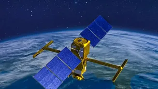
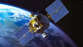
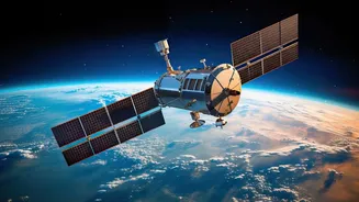
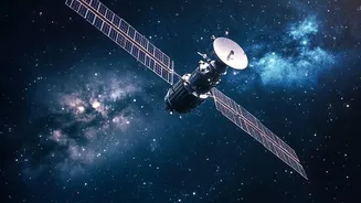
To provide a precise three-dimensional position, a navigation system needs a minimum of four satellites to be visible to a receiver on the ground. This allows the receiver to calculate latitude, longitude, altitude, and time. The original NavIC constellation was designed with seven active satellites. However, due to a series of failures, the system's capacity has been severely diminished. As of late 2026, the government has confirmed that only three satellites—IRNSS-1B, IRNSS-1I, and NVS-01—are capable of providing PNT services. This leaves NavIC unable to provide a standalone positioning service, though its timing function remains active.
The Atomic Clock Problem
The core of the issue lies with the failure of atomic clocks aboard the first generation of IRNSS satellites. These highly precise clocks are fundamental to a satellite's ability to broadcast the exact timing signals needed for a receiver to calculate its position. An error of even a billionth of a second can throw off a position reading by a significant margin. A number of the earlier satellites in the NavIC system were equipped with rubidium atomic clocks imported from a European supplier, which also provided clocks for Europe's Galileo constellation. Both systems experienced a high rate of premature clock failures. Several of India's first-generation satellites lost functionality well before their planned 10-year lifespan, crippling the constellation.
What Are the Real-World Consequences?
For the average civilian user, the impact is minimal. Most modern smartphones and vehicle trackers are equipped with multi-constellation receivers. These devices can pull signals from GPS (US), GLONASS (Russia), and Galileo (EU) in addition to NavIC, ensuring that navigation services continue uninterrupted. The greater concern is for strategic and military applications. While the armed forces also use multi-constellation devices, the very purpose of NavIC was to provide a secure, sovereign backup that could not be denied or degraded by a foreign power during a conflict. With NavIC's standalone capability offline, this critical layer of strategic autonomy is temporarily lost.
ISRO's Plan to Restore Service
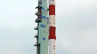
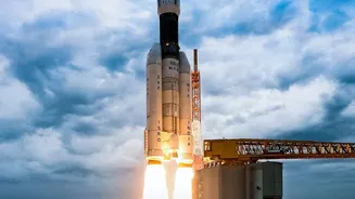
ISRO is actively working to replenish the constellation with a new generation of satellites, dubbed the NVS series. These satellites are designed with a longer lifespan and feature indigenous atomic clocks to avoid the supply chain issues of the past. The first of this new series, NVS-01, was successfully launched in May 2023. However, a subsequent launch, NVS-02, failed to reach its intended orbit in January 2025. The next launch, NVS-03, is crucial and is scheduled for mid-October 2026. A successful launch of NVS-03 would restore the constellation to the minimum four-satellite requirement, bringing NavIC's standalone positioning service back online. Further satellites, NVS-04 and NVS-05, are also in advanced stages of production to ensure the system's long-term health and redundancy.