



A Land Built for Disaster
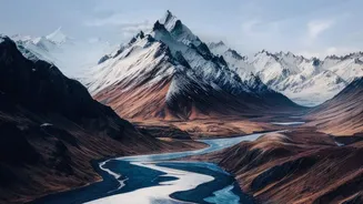
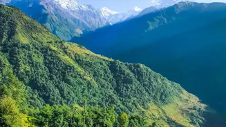
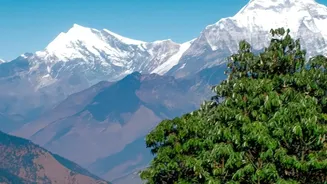
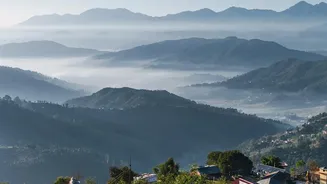
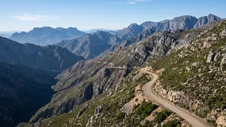
Nepal’s geography is perhaps the single most significant factor in its flood risk. The country features some of the most dramatic topography on Earth, rising from low-lying plains, known as the Terai, at around 60 meters above sea level to the world's
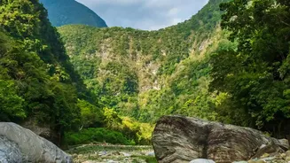
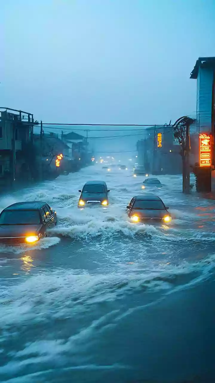
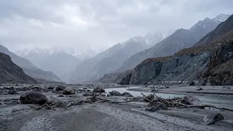
highest peak, Mount Everest, at 8,848 meters, over a very short distance. This extreme gradient means that rivers flow with immense force, carrying water and sediment rapidly downstream. When heavy rainfall occurs, these steep, narrow valleys act like funnels, channelling water into furious torrents that can overwhelm riverbanks with little to no warning. This natural landscape, while beautiful, creates a perfect setup for flash floods, where a surge of water can materialize in minutes.
The Monsoon's Double-Edged Sword
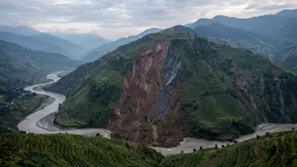
The annual monsoon, which delivers the majority of Nepal's rainfall between June and September, is both a life-giving force for agriculture and a source of immense danger. In recent years, the climate crisis has made monsoon patterns more erratic and intense. Instead of steady, prolonged rain, the region is experiencing more extreme downpours that dump massive amounts of water in a short period. This intense rainfall on already saturated ground in steep terrains triggers landslides, which can block rivers. These natural dams, formed by mud and debris, are inherently unstable. Water builds up behind them until the pressure becomes too great, leading to a sudden, catastrophic breach and a devastating flash flood downstream.
The Threat from Melting Glaciers
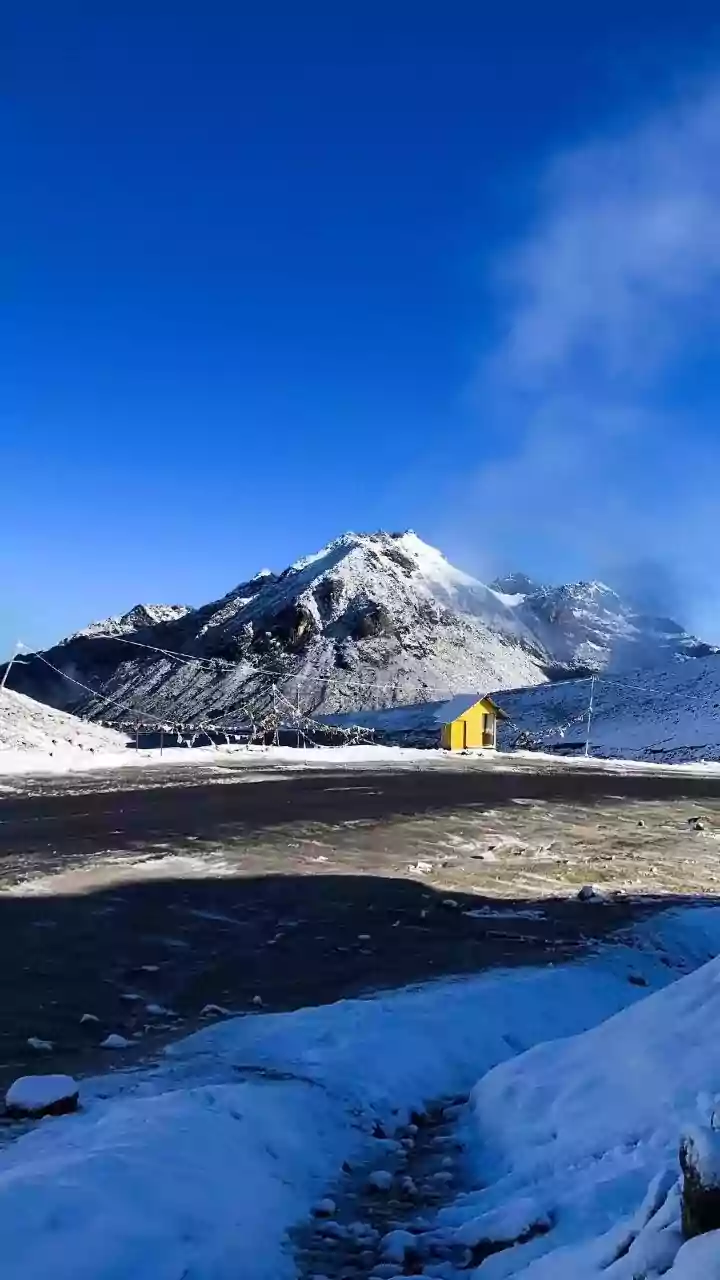
A growing and particularly dangerous threat comes from high in the Himalayas. As global temperatures rise, glaciers are melting at an accelerated rate. This meltwater forms vast glacial lakes, often held back only by unstable natural dams of rock and soil, known as moraines. These events, called Glacial Lake Outburst Floods (GLOFs), can be triggered by several factors, including the collapse of the moraine dam itself. In other devastating instances, huge chunks of a glacier can break off, triggering an ice or rock avalanche. This mass can crash into a river, blocking it temporarily or displacing a huge volume of water, resulting in a sudden, powerful flood wave that carries ice, rock, and debris. Recent catastrophic floods in Nepal have been attributed to this very phenomenon, where a glacial collapse high in the mountains led to disaster miles downstream.
The Human Element
Natural forces are amplified by human activity. Deforestation on hillsides removes the tree roots that help hold soil in place, making landslides more likely during heavy rains. The construction of roads and infrastructure, if not planned with geological risks in mind, can further destabilize fragile slopes and alter natural drainage paths. Furthermore, settlements often develop along river valleys and floodplains due to the flat, fertile land, placing communities directly in the path of potential floods. While essential for development, this proximity to danger zones increases the human cost when a flash flood occurs. These factors combine to create a landscape where both natural and man-made elements contribute to a recurring cycle of disaster.
The Challenge of Early Warnings
The very nature of flash floods makes them difficult to predict. Unlike slower-moving riverine floods, which can be forecast days in advance, these events can develop in minutes. The complexity of triggers—from a sudden cloudburst to a distant glacial collapse—makes it incredibly hard to provide timely warnings, especially in remote mountain communities. A deadly flood can be triggered by an event high in the mountains that is not preceded by local rainfall, catching downstream villages completely by surprise. While efforts are underway to improve monitoring of glacial lakes and river levels, the sheer scale of the Himalayas and the speed of these events present a monumental challenge for disaster preparedness agencies.