






What Exactly Is an Atmospheric River?
Imagine a river, but instead of flowing on land, it flows through the sky. That’s the simplest way to understand an atmospheric river. These are long, narrow corridors of concentrated water vapor that transport enormous amounts of moisture from the tropics
toward the poles. They can be over 1,000 miles long but only a few hundred miles wide, acting like massive conveyor belts for water. An average atmospheric river can carry more water in the form of vapor than the largest rivers on Earth, such as the Amazon or Mississippi. When these moisture-packed systems make landfall, especially over mountains, they are forced to rise, cool, and release their contents as intense rain or snow.
Beneficial Storms and Damaging Floods
On the west coast of North America, atmospheric rivers are a well-known phenomenon, with famous examples like the "Pineapple Express" that brings moisture from near Hawaii. They are a double-edged sword. These events can be crucial for replenishing water supplies, delivering up to 50% of California's annual precipitation and breaking droughts. However, their intensity can also be devastating, causing more than 80% of flooding damage on the US West Coast, leading to landslides, property destruction, and costing over a billion dollars annually. Their impact depends entirely on their strength, duration, and where they make landfall.
A Surprising Connection to Antarctica
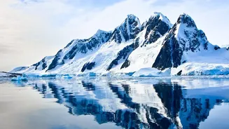
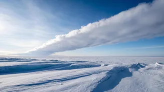
While often associated with temperate regions, recent scientific focus has shifted to the role atmospheric rivers play in the polar regions. A new wave of studies reveals their profound impact on the Antarctic continent. Researchers have discovered that these events are directly linked to extreme weather in Antarctica, capable of triggering both massive snowfall events and significant surface melting. One recent study highlighted that while these events are rare, they are responsible for a huge portion of the continent's precipitation, with some analyses attributing up to 70% of extreme snowfall in parts of East Antarctica to atmospheric rivers.
The Antarctic Heat and Snow Paradox
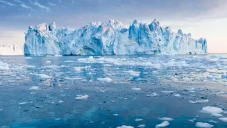
The latest research, leveraging high-resolution climate models, paints a complex picture of what these rivers in the sky mean for the frozen continent. When an atmospheric river brings warm, moist air to Antarctica, its impact can be contradictory. On one hand, the moisture can fall as heavy snow, which adds mass to the ice sheet and can help offset ice loss. On the other hand, the warm air itself can cause dramatic surface melting and even rainfall, which can destabilize the crucial ice shelves that buttress the continent's massive glaciers. Some studies have linked atmospheric rivers directly to the formation of huge holes in sea ice, known as polynyas, by bringing warm air from as far as South America.
Why This Discovery Matters for Everyone
Understanding the mechanics of Antarctic weather is not just an academic exercise; it has global consequences. Antarctica's ice sheets hold the vast majority of Earth's freshwater, and their stability is the single biggest uncertainty in projecting future sea-level rise. A new study published by an international team predicts that under high-emission scenarios, the frequency of atmospheric rivers over Antarctica could double by the end of the century, and the precipitation they deliver could increase by 2.5 times. While this might mean more snowfall in the short term, which could temporarily mitigate sea-level rise, the increasing association of these events with warmth and surface melt introduces a dangerous new variable. This research helps refine climate models, providing a clearer picture of how extreme weather, driven by a warming world, will shape the future of our planet's largest ice reserve and, consequently, our coastlines.