




An Eye in the Sky for Water
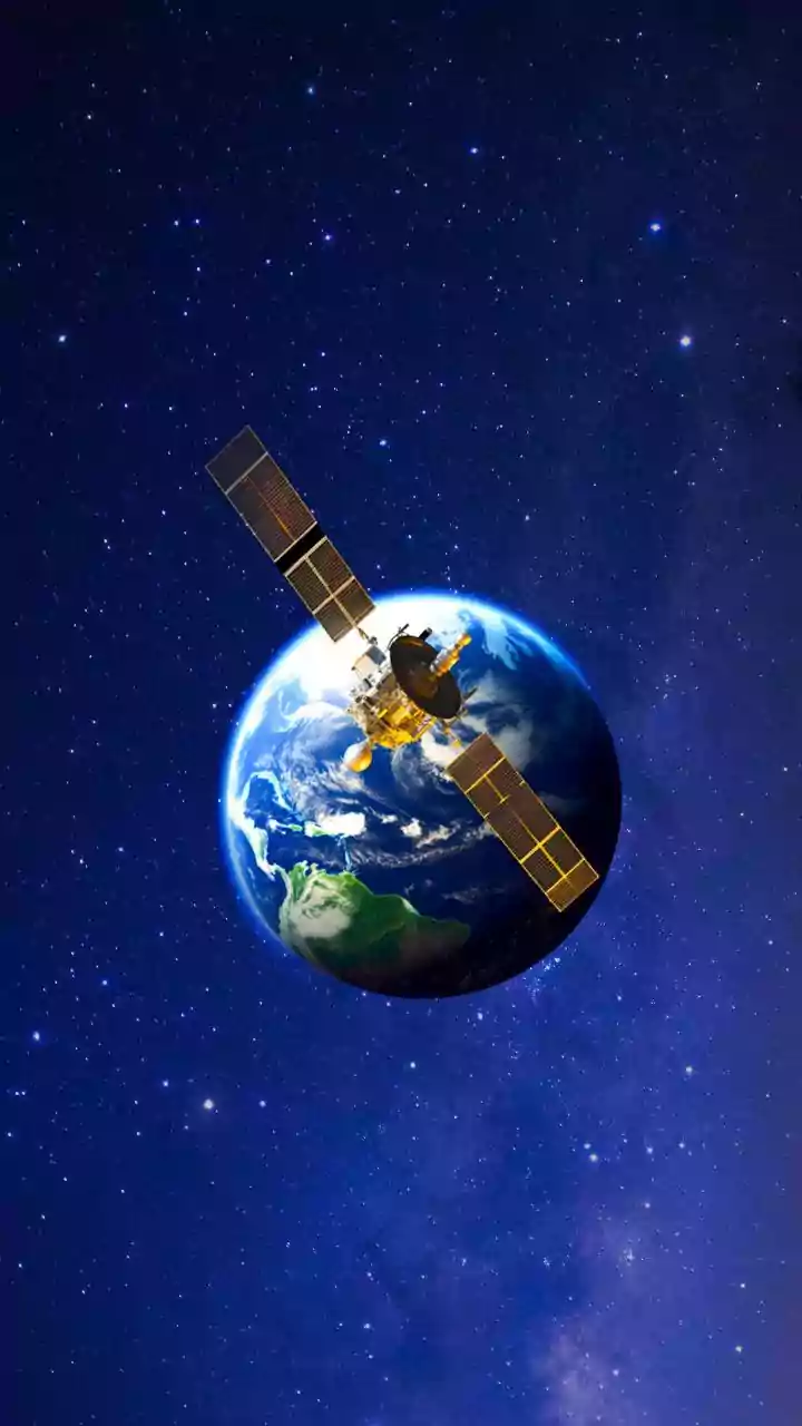
A new era of water management is being driven by advanced satellites orbiting hundreds of kilometres above Earth. Missions like NASA's Surface Water and Ocean Topography (SWOT) and the Gravity Recovery and Climate Experiment (GRACE) are providing unprecedented
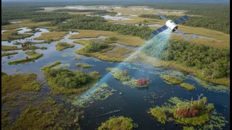
insights into the planet's most vital resource. Unlike ground-based sensors, which are limited to specific locations, these satellites offer a comprehensive picture. SWOT, for instance, uses sophisticated radar technology to measure the height and extent of virtually all of Earth's surface water, from wide rivers to small lakes. Meanwhile, the twin satellites of the GRACE mission and its successor, GRACE-FO, measure tiny changes in Earth's gravity field to track shifts in the total amount of water stored underground. This allows scientists and water managers to see, for the first time, how much water is being depleted from major aquifers.
Seeing Beyond the Map
The real power of this technology lies in its ability to ignore political and administrative boundaries. Water systems are naturally interconnected; a river may flow through multiple states or countries, and vast underground aquifers can lie beneath several jurisdictions. This has historically created challenges, as actions taken in one area—like building a dam or excessive groundwater pumping—can have profound impacts downstream or across a border. Often, data on water use is not shared between neighbouring regions, leading to mistrust and inefficient management. Satellites overcome this by providing objective, consistent, and publicly available data for entire ecosystems. This shared information creates a common ground for discussion and cooperation, turning a potential source of conflict into an opportunity for collaboration.
From Data to Diplomacy
This satellite-driven data is already transforming water management globally. In politically sensitive regions where data sharing is limited, satellites offer an independent source of truth. For example, missions like SWOT can monitor reservoirs and rivers that cross international borders, helping to verify that water-sharing agreements are being followed. In Central Asia's Amu Darya basin, satellite data helps infer basin-wide water balance without relying on shared in-situ observations. Similarly, GRACE data has been instrumental in highlighting large-scale groundwater depletion in major agricultural regions, including northwest India, the Middle East, and California's Central Valley, providing crucial evidence for policymakers to address unsustainable water use. In India, satellite technologies are being tested and transferred for managing river basins like the Ganga, as part of international twinning initiatives aimed at sharing knowledge and best practices.
A Clearer Picture for the Future
The implications for future planning are immense. As climate change increases the frequency of droughts and floods, the need for accurate, timely data becomes more critical. Satellite data helps build more accurate flood models, provides early warnings for drought, and enables better long-term planning for water security. For example, by tracking changes in river flow and reservoir levels, authorities can better anticipate and manage flood risks. Data on evapotranspiration from projects like OpenET helps agricultural communities optimise irrigation and conserve water. By integrating this bird's-eye view with ground-level information, governments can move from reactive crisis management to proactive, sustainable stewardship of their water resources.