



The Problem with a Delayed View
For decades, firefighters have battled blazes with one hand tied behind their backs. The tools for spotting fires from space were not built for the job. Existing weather and Earth-observing satellites can spot large fires, but their images are often low-resolution
or are only updated a few times a day. This delay means a small, manageable ignition can explode into a catastrophic megafire before it's even detected from orbit. By the time an alert is issued, the fire may have already grown to the size of a soccer field or larger, making it significantly harder and more dangerous to contain. This information gap is precisely what a new generation of technology aims to close.
Introducing FireSat: Eyes in the Sky
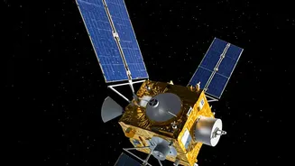
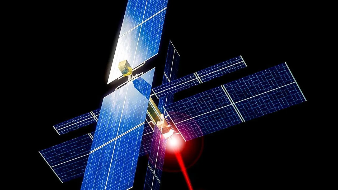
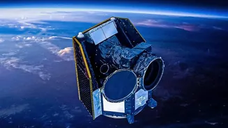
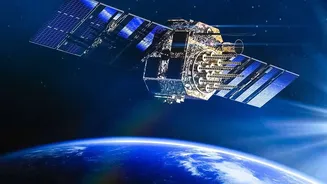
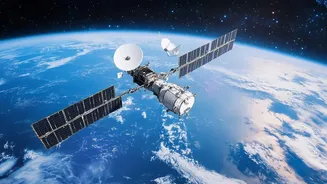
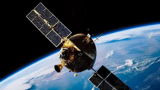
FireSat is a purpose-built satellite constellation designed specifically to detect and monitor wildfires. It's a collaborative effort involving the nonprofit Earth Fire Alliance, space systems company Muon Space, and Google, among others. Unlike repurposed weather satellites, FireSat's sole mission is to find fires. The plan involves a constellation of over 50 satellites that, when fully operational, will scan the entire planet every 20 minutes. This rapid revisit time is the key to providing near real-time alerts to emergency responders on the ground, helping them tackle fires while they are still small.
How AI Makes the Difference
The true innovation of FireSat lies in its combination of high-resolution infrared sensors and onboard artificial intelligence. The satellites are equipped with multispectral infrared cameras capable of spotting heat signatures as small as 5x5 metres—roughly the size of a small classroom. But just spotting heat isn't enough; the world is full of hot things that aren't dangerous fires. This is where AI comes in. Onboard processors will analyse images instantly, comparing them to thousands of previous images of the same location and considering factors like local weather. This allows the system to distinguish a genuine wildfire from false positives like industrial heat sources, sending reliable alerts to firefighters within minutes of ignition.
The Journey from Concept to Orbit
The FireSat project is already well underway. A prototype satellite, called Protoflight, was launched in March 2025 to test and validate the system. It has since successfully detected small fires that were invisible to existing satellite systems. Building on this success, the first three operational FireSat satellites were launched in July 2026. These satellites are currently in a testing and calibration phase, with plans to begin delivering data to fire agencies by the end of 2026. The entire constellation of more than 50 satellites is expected to be deployed in stages, with the goal of achieving a 20-minute global revisit time by the early 2030s.
A New Era for Firefighting
The potential impact is enormous. Faster detection gives firefighters the ability to respond when a blaze is small and easier to control, which can save lives, property, and vast areas of natural landscape. In the United States alone, projections suggest that a one-hour revisit time could save over a billion dollars in damages annually and prevent millions of tons of carbon emissions. Beyond immediate response, the data collected by FireSat will create an unprecedented global record of fire behaviour. This will allow scientists to better understand how fires start and spread, improving prediction models and long-term land management strategies.