


The Problem with a Time Lag
In firefighting, minutes matter. A small, manageable blaze can erupt into an uncontrollable megafire in a shockingly short amount of time. Historically, wildfire detection has relied on a patchwork of systems: public 911 calls, watchtowers, and aerial
patrols. While effective to a degree, these methods have inherent delays and geographical limitations. Existing government satellites can spot large fires but were not specifically designed for this task; they often have low resolution or only pass over the same spot a few times a day, creating critical blind spots where a fire can ignite and spread unseen. This time lag is the enemy, giving fires the head start they need to become catastrophic events.
An Eye in the Sky, Built for Fire
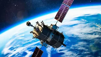
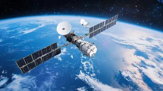
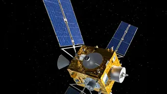
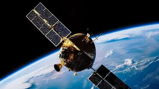
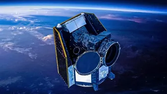
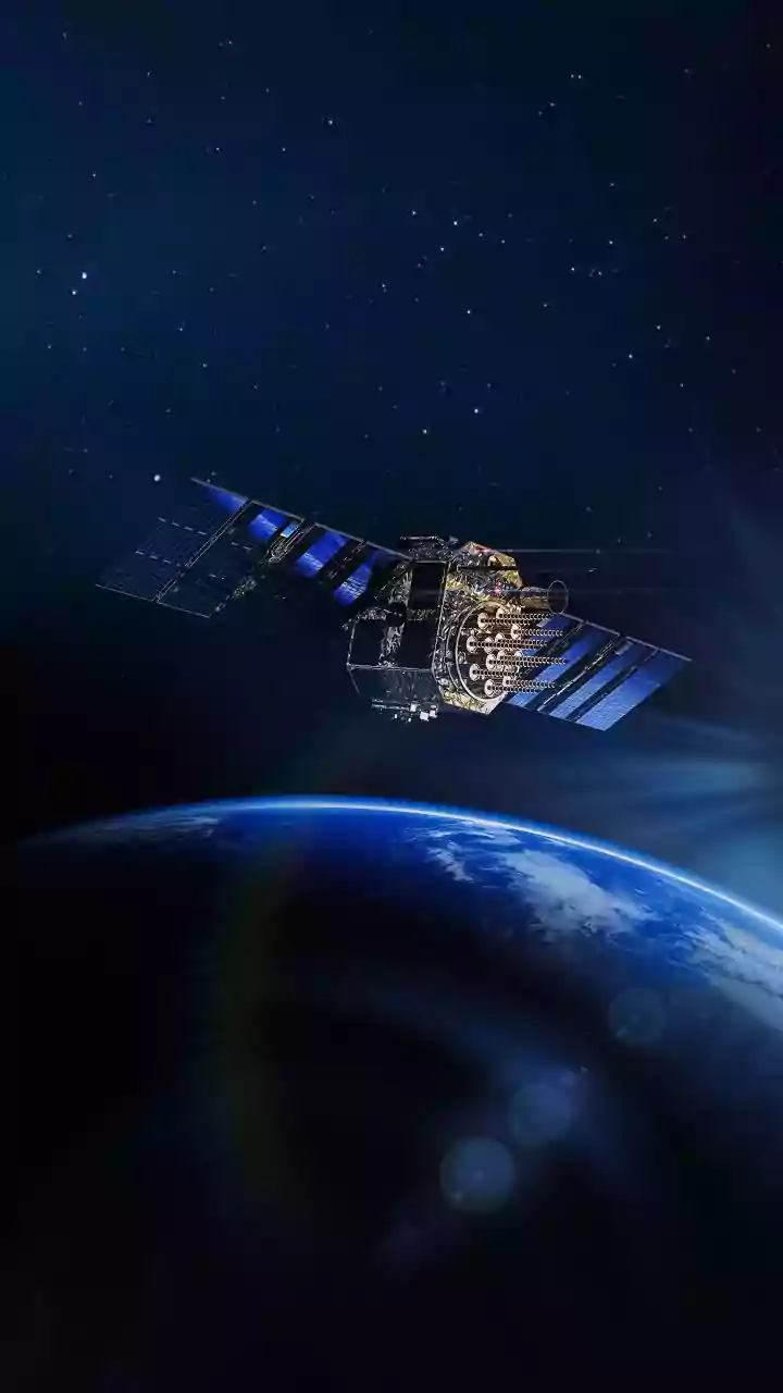
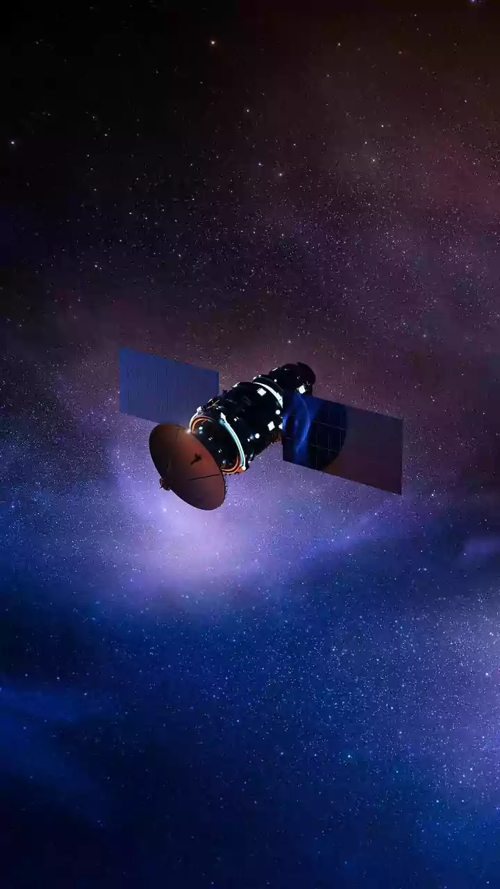
Enter FireSat, a project led by the nonprofit Earth Fire Alliance in collaboration with partners like Google and spacecraft manufacturer Muon Space. The strategy hinges on a constellation of satellites designed for one job: finding fires. A prototype satellite launched in March 2025 proved the concept's potential, detecting small, cool fires that existing systems missed. Following that success, the first three operational satellites were launched in July 2026, marking the beginning of the network. The full plan involves a constellation of over 50 satellites in low Earth orbit. This configuration is key, as it will allow the system to scan every point on Earth with a revisit time of about 20 minutes once fully deployed.
Seeing Heat, Not Just Smoke
Instead of relying on visual cameras that only see smoke in daylight, FireSat's satellites are equipped with sophisticated multispectral infrared (IR) radiometers. These sensors detect heat signatures across six different infrared bands, allowing them to spot fires day or night and even see through smoke to the active flames. This technology is incredibly sensitive, capable of detecting a heat source as small as 5x5 meters—roughly the size of a classroom. By measuring energy across the IR spectrum, the system can distinguish between active flames, smoldering ground, and old burn scars, providing a much richer picture of the fire's behavior than a simple hotspot alert.
The AI Brain That Connects the Dots
Raw data from space is just noise without interpretation. This is where artificial intelligence becomes the core of the strategy. Onboard the satellites and on the ground, AI algorithms process the incoming infrared imagery in near real-time. The system doesn't just look for heat; it performs change detection, constantly comparing the latest images to a baseline of previous scans for that exact location. The AI considers contextual factors like weather data and known industrial heat sources to filter out false alarms, a major challenge for any automated detection system. When a credible new heat signature is flagged, the system can automatically generate an alert for fire agencies within minutes.
From Detection to Action
The end goal of the FireSat system is to deliver actionable intelligence directly to those on the front lines. Once a potential fire is detected and verified by the AI, data is transmitted to ground stations and processed into fire maps and alerts that can be sent to command centers or even mobile devices in the field. The initial constellation of three operational satellites is expected to provide data to early adopters in fire-prone regions at least twice daily. As more satellites join the network, the refresh rate will improve dramatically, with a target of hourly updates by 2029 and eventually every 20 minutes. This continuous stream of information promises to provide a common operating picture, tracking a fire's perimeter, intensity, and direction of spread to improve firefighter safety and resource allocation.